Fraser Valley D, British Columbia
Top Spots in and near Fraser Valley D
-
Marblemount, Washington
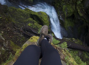
While not a hike in of itself, this walk to Ladder Creek Falls is still very enjoyable as you bound over a large suspension bridge, wander past smaller falls and overgrown garden steps, and get an up close and personal look at the oldest operating building in Skagit County, the powerhouse.
Drive ...
Read more
-
Rockport, Washington
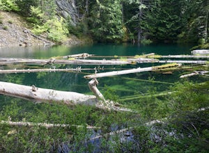
Day hike with moderate elevation gain, 2.1 miles one way. You will be going up, up, up until you get to the top where you will find the lake. Take your time going up - take breaks and stop to check out the forest around you. There were a few times where we found it difficult to follow the trail (...
Read more
-
Rockport, Washington
Start from the Ross Lake Trailhead off Highway 20. Hike down with your vessel 1.5 miles to the hull road. From there you can launch your vessel.
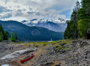
Ross Lake is very large with many destinations to paddle to. I went to Cougar Island and Rainbow Point then paddled up to multiple spectacular wate...
Read more
-
Rockport, Washington
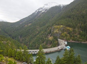
This is a short hike at just under 2 miles round-trip, with little elevation change. The trail begins at a parking area, alongside Washington Route 20. The hike takes you through the forest to an overlook of both Ross Dam and Ross Lake, before making the final descent down to the dam. The trail i...
Read more
-
Rockport, Washington
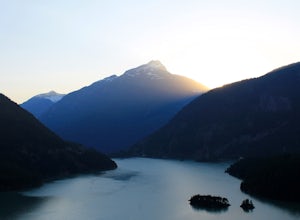
Diablo Lake is a reservoir in the North Cascades created by Diablo Dam. The hue of the lake is created by ground up rocks from local glaciers, which end up drifting down streams into the lake.If you’ve decided to take in the viewpoints driving Hwy 20 through the park, be sure to check out Liberty...
Read more
-
Pitt Meadows, British Columbia
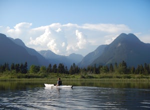
The 12km (7.5 mi) drive on Neaves Road to Pitt Lake from Pitt Meadows is one of BC's most scenic routes. As soon as you start this section of the drive you already feel miles from the city, but this route is only 30-45 minutes from Vancouver, depending on city traffic.Once you reach the parking l...
Read more
-
Rockport, Washington
Pack up your canoe with supplies for the day and launch from Colonial Creek Campground Area to begin your journey. As you approach the bridge to cross the lake, pull off to the parking area, there is signage for the boat launch area where you can easily carry your equipment down to the water's ed...
Read more
-
Rockport, Washington
Diablo lake is the perfect place to camp if you're looking for solitude and natural beauty. It's northeast from Seattle in the North Cascades.
Colonial Creek Campground has large camp sites right on the lake. It is first come first serve, however check out is at noon so arrive around 11:30 to sna...
Read more
-
Rockport, Washington
This hike along Thunder Creek in North Cascades National Park is perfect for families and beginner backpackers. The trail is at a lower elevation in the park so it is a great early-season hike, but be sure to check with the ranger station for trail and weather conditions before you go.
Starting ...
Read more
-
Rockport, Washington
Ruby Mountain is one of the North Cascades more prominent peaks, sitting high above Diablo and Ross Lakes. This trip is one for more experienced hikers with a very aggressive incline from start to finish. If that does not scare you then definitely add this amazing hike to your list. While it can ...
Read more
-
Rockport, Washington
Starting at the Colonial Creek Campgrounds, the trail starts out fairly flat taking you along Thunder Creek for about two miles to the Fourth of July Pass trail head. Once you reach here, the trail begins to climb.Beginning with switch backs, the path straightens out for a while before coming to ...
Read more
-
Harrison Mills, British Columbia
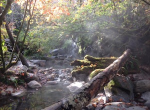
Nestled between Harrison Hot Springs and Pemberton, the Sloquet Hot Springs are a great place to unwind. With multiple natural pools, it is easy to settle in and enjoy a beer, or my winter favourite, Baileys and coffee. If things heat up too fast, take refuge in a lower pool or cool off in the ri...
Read more
-
Bellingham, Washington
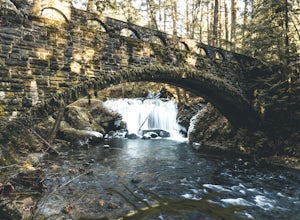
Whatcom Falls is easily accessible within Whatcom Falls Park. It is less than a 2 minute walk from the parking lot to the bridge overlooking Whatcom Falls.
This is a nice place to checkout with good company if you don't have a lot of time to enjoy the fresh air.
Read more
-
Bellingham, Washington
2.0
0.45 mi
/ 125 ft gain
Pixie Falls can be accessed during any season; however it’s most enjoyable during the spring and summer months. This waterfall and swimming hole combo is the perfect way to escape the heat and the crowds. On any given day, there will typically be less than 10 people who access the falls. Pixie is...
Read more
-
Skagit County, Washington
Even from the Trailhead, the views overlooking the Skagit River valley, all the way out toward Mount Vernon, are outstanding. The trail follows 20 tight switchbacks as it makes it's way 600 feet up to the southern crest of the summit ridge. This is a steep slope and it's possible to look straight...
Read more
-
Coquitlam, British Columbia
Important: if you are planning on bringing a dog, and they are skittish around loud noises make sure to keep them leashed. This trail is beside the gun club and can spook dogs. You stop hearing the guns once you reach the powerline roadTo reach the trailhead, follow Harper Road until you reach th...
Read more

