Cowichan Bay, British Columbia
Looking for the best photography in Cowichan Bay? We've got you covered with the top trails, trips, hiking, backpacking, camping and more around Cowichan Bay. The detailed guides, photos, and reviews are all submitted by the Outbound community.
Top Photography Spots in and near Cowichan Bay
-
Surrey, British Columbia
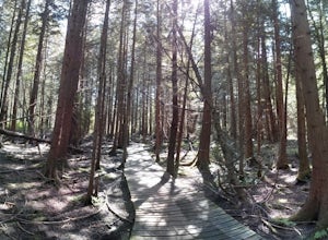
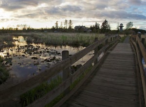
Hike the Elgin Heritage Park Nature Trail
4.02 miHead over to this magical little park by the water. The forested area between the 2 entrances to the park has many large trees often used by eagles and hawks to survey the surrounding area for prey. The habitat functions of the marsh significantly contribute to the ecological value of the lower N...Read more -
Port Angeles, Washington
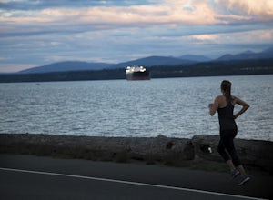
Run Ediz Hook "The Spit"
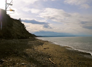
4.73 mi / 0 ft gainEdiz Hook or as locals call it, "the Spit" is a 3 mile long sand spit that extends out from Port Angeles along the Juan De Fuca. The views of the surrounding mountains and Vancouver Island, the marine life, beaches, and picnic areas make this a prime spot for a memorable run. We parked at the lo...Read more -
Delta, British Columbia
Hiking through Burns Bog Delta Nature Reserve
1.9 miAs you begin your journey into Burns Bog Delta Nature Reserve from the parking lot and small trail coming off of Westview Drive, notice the gravel trail ahead of you and across the train tracks that will take you into the bog itself and take a left. After spending a few minutes on the straight tr...Read more -
West Vancouver, British Columbia
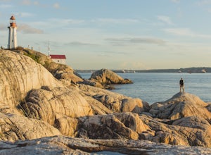
Explore Lighthouse Park
4.5To get to Lighthouse Park, head westbound along Marine Drive in West Vancouver. As Marine Drive continues past little shops and businesses, it will begin to narrow and the road will wind around the coastline. Continue past Caufield Cove Marina and watch for the Lighthouse Park sign on your left. ...Read more -
Honeymoon Bay, British Columbia
Hike Castle Grove of the Upper Walbran River Valley
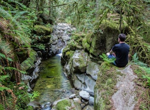
3.2 miThe opportunity to travel deep into a region where ancient forests still stand, telling their story of centuries past, can't be overlooked. One of the last remaining areas of such beauty and rarity still exists deep in the heart of the southern interior on Vancouver Island. This spot is known as ...Read more -
Port Angeles, Washington
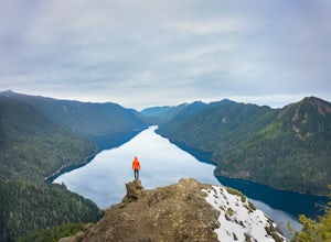
Kayak Lake Crescent
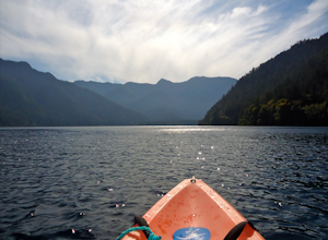
4.0From the Log Cabin Resort located on the east shore of Lake Crescent, rent a kayak and spend the day on the water! My husband and I rented a kayak on our honeymoon for a day and explored half of the lake staying close to the east shore.You can see the bridge for the Spruce Railroad trail on the ...Read more -
Port Angeles, Washington
Spruce Railroad Trail
3.011.36 mi / 1138 ft gainThis versatile trail can adapt to your needs. It's can be an out-and-back hike, so you can make it as long as you like. If you do full distance, you are looking at an 8 mile day... OR, if you have two cars, you can park a car at either end of the trail and make it a 4 mile one-way hike. This des...Read more -
Vancouver, British Columbia
Photograph the Lions Gate Bridge
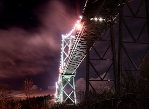
3.7Park at the parking lot at Prospect point in Stanley Park to begin your photography adventure. The first photo opp is from the walkway on the Lions Gate, at about the middle of the bridge and looking to the left towards the Seawall. This is the perfect sunset spot.Once it gets dark, head to the b...Read more -
Surrey, British Columbia
Stroll through Redwood Park in Surrey, BC
3.01.2 miRedwood Park is large beautiful forested park in South Surrey. The park is a legacy of one of Surrey's early pioneer's, David Brown, who in 1893 gave the property to his twin sons, David and Peter. The Brown twins spent much of their life traveling the world collecting the seeds and saplings of e...Read more -
Sequim, Washington
Hike Dungeness Spit
3.511 mi / 130 ft gainPark at a the north side of the Dungeness Spit Recreation Area, in the Refuge parking lot. There is a kiosk at the Refuge where you can pay an entrance fee ($3) and check the Tide Table. Only attempt the hike at low tide or the sand spit becomes narrow and you have to climb over logs.Follow the R...Read more -
West Vancouver, British Columbia
Hike to Cypress Falls in West Vancouver
4.03.1 mi / 400 ft gainDrive the the end of Woodgreen Pl in West Vancouver, and you will pass the tennis courts on your right. You will see a little dirt road that heads up into the woods on your left - drive up this road ~30 feet into the parking lot. From the Parking lot, hike up the trail beside cypress creek (this ...Read more -
West Vancouver, British Columbia
Explore WhyteCliff Park, West Vancouver
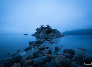
4.4Escape to the vanishing horizon of the Pacific Ocean, where time is measured by the rhythm of waves.Located near West Vancouver's Horseshoe Bay neighbourhood, Whytecliff Park is home to more than 200 marine animal species and is one of the first Marine Protected Areas in Canada. You're almost gua...Read more -
Ferndale, Washington
Take a Stroll through Hovander Homestead Park
5.01.4 mi / 0 ft gainDriving up to the park entrance: take a right to drive towards the barnyards, playgrounds, covered picnic areas, historic house and community gardens, and access to the Snoqualmie River. Or, drive straight and park outside of the fragrance gardens and historic house/ museum, and take a walk to a...Read more -
Port Angeles, Washington
Mount Storm King
4.73.91 mi / 2251 ft gainThe trailhead is located right next to the Storm King ranger station adjacent to Lake Crescent right off Hwy 101 just past Port Angeles if heading West. It shares the same trail as, and breaks off left from the Marymere Falls trail (also worth seeing) about a quarter mile in (look for signage). ...Read more -
Port Angeles, Washington
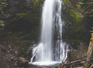
Marymere Falls
4.31.93 mi / 531 ft gainMarymere Falls (90 ft.) is located in Olympic National Park, near Lake Crescent. The falls can be accessed by a short, well-maintained dirt trail through old-growth lowland forest consisting of fir, cedar, hemlock, and alder trees. The creek descends from Aurora Ridge and tumbles over Marymere Fa...Read more -
North Vancouver, British Columbia
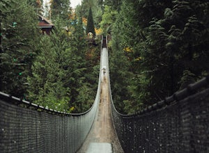
Explore the Capilano Suspension Bridge
3.8This is a great place to visit to get a feeling for the outdoors of Canada. The bridge is a little scary when a lot of people are walking across, but it is well worth the look.Measuring 140 m (460 ft) long, the bridge crosses over the Capilano River in the District of North Vancouver, British Col...Read more

