Bowen Island, British Columbia
Looking for the best photography in Bowen Island? We've got you covered with the top trails, trips, hiking, backpacking, camping and more around Bowen Island. The detailed guides, photos, and reviews are all submitted by the Outbound community.
Top Photography Spots in and near Bowen Island
-
Nanaimo, British Columbia
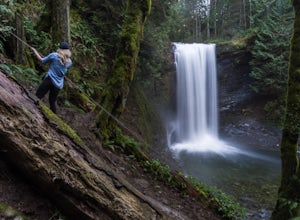
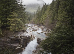
Hike to Ammonite Falls
4.82.69 mi / 558 ft gainThe falls cascades off of a sheet of rock that is filled with Ammonite fossils, thus the name Ammonite Falls! The trailhead is very distinct and has a parking lot close to the start of the trail. From the Nanaimo Parkway (#19) head onto Jingle Pot Road. Follow that for a few kilometres and turn ...Read more -
Squamish-Lillooet D, British Columbia
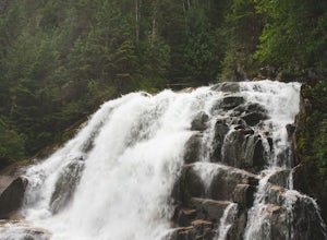
Hike to Crooked Falls
4.04 mi / 1400 ft gainThe trail to Crooked Falls starts at the Sigurd Creek Trail. The coordinates are: N49.910556, W-123.322817. It is a scenic dive just past the Squamish city center and the Squamish River. Once at the trail head you'll walk across a bridge over Sigurd Creek and follow the logging road for a couple...Read more -
Surrey, British Columbia
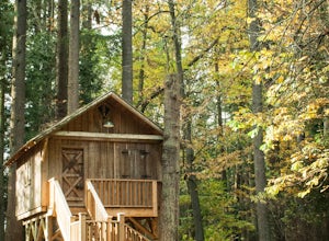
Stroll through Redwood Park in Surrey, BC
3.01.2 miRedwood Park is large beautiful forested park in South Surrey. The park is a legacy of one of Surrey's early pioneer's, David Brown, who in 1893 gave the property to his twin sons, David and Peter. The Brown twins spent much of their life traveling the world collecting the seeds and saplings of e...Read more -
Egmont, British Columbia
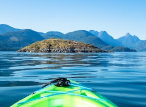
Kayak the Miller Islet
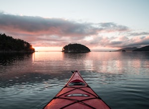
The coast of British Columbia defies description. It is a wonderland of natural treasures both living and geological, and the vast majority of it is only accessible by water or seaplane. The Miller Islet at the entrance to the glacier-carved Jervis Inlet is both a harbor seal and seabird colony a...Read more -
Mayne Island, British Columbia
Kayak Bennett Bay
4.0The tiny island of Mayne is located in the chain of Gulf Islands just off the coast of Vancouver Island. For a small Island that can be biked across in a couple of hours, it offers some amazing views and photo opportunities. Mayne Island is just a stop away from Victoria and is located right abov...Read more -
Whistler, British Columbia
Hike to High Falls Creek, BC
5.05.3 mi / 1719.2 ft gainThis is a great hike with varied terrain. From a flat meandering path to steep, scramble sections with chains and braided ropes. The must-see attraction on this trail is the thunder force of tumbling water heard throughout the day as you hike along a steep walled canyon.You have the option of par...Read more -
Maple Ridge, British Columbia
Stroll along the Spirea Nature Trail
3.01.5 mi / 0 ft gainAn hour outside of downtown Vancouver lies the beautiful 150,000 acre Provincial Park of Golden Ears. The park has a myriad of hikes and adventures all with varying degrees of difficulty. The Spirea Nature Trail likely clocks in as one easiest amongst the dozens within the park. However, don’t le...Read more -
Maple Ridge, British Columbia
Hiking Golden Ears Trail
14.9 mi / 4921.3 ft gainGolden Ears is well known to those in the Lower Mainland. After staring at the jagged 'ears' from all angle, I finally got to see them up close and in-person. The West Canyon Trail is a gentle 5.5 kilometers on a well groomed path, lined with deciduous trees making it a perfect place to watch the...Read more -
Maple Ridge, British Columbia
Camp in Golden Ears Provincial Park
11.2 mi / 3937 ft gainBackcountry permits are required to camp on Panorama Ridge ($5) and can be paid online.The trailhead is located at the West Canyon Parking lot. The trail starts out on a relatively flat old logging road. The trail slowly gains elevation over three kilometers taking you through thick green forest ...Read more -
Maple Ridge, British Columbia
Summit Golden Ears
4.514.9 mi / 5039.4 ft gainDay 1 Starting from the Golden Ears parking lot, your journey begins up a relatively small incline passing two bridges and entering the forest. Continue through the forest passing small cliffs and revealing some views of what you are going to climb the next day. Your estimated time it should take...Read more -
Maple Ridge, British Columbia
Hike to Alder Flats in Golden Ears Provincial Park
4.06.8 mi / 918.6 ft gainIf you're looking for a challenge and hope to get into the mountains this is a great adventure to set out on.Be prepared: Water, a lot of time, and with an understanding of the elevation gain will be important. This hike to the viewpoint of Alder Flats (overlooking the ears) takes around 2 hours ...Read more -
Maple Ridge, British Columbia
Hike to Lower Falls in Golden Ears Provincial Park
5.03.5 miLower Falls is found within Golden Ears Provincial Park in British Columbia. Easily accessible from the Gold Creek Parking lot, it is a relatively flat trail snaking along Gold Creek itself. It can be done as an out & back trail, or you can make it a loop by using the connector trail located ...Read more -
Maple Ridge, British Columbia
Hiking Upper Gold Creek Falls
4.5Once you arrive in Golden Ears Park, follow the road to the end and look for signs to the Gold Creek Day Area. The road will turn to gravel, and after you cross a small, one-line bridge, you will reach the parking lot.After you have parked, head north past the yellow gate, marked East Canyon Trai...Read more -
Salt Spring Island, British Columbia
Hike Mount Maxwell
From Ganges head south on Fulford-ganes road toward Fulfrod harbour. Turn right on Dukes road then a right on Seymour Heights. Seymour Heights turns into a dirt road, with a number of pot holes but nothing a non 4x4 car can't handle. At the trail head there is a small turn around and not a ton of...Read more -
Whistler, British Columbia
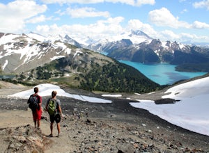
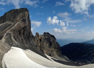
Summit Black Tusk in Garabaldi Provincial Park
5.019 mi / 5708.7 ft gainThis is a very challenging trail! If you are going to carry in a backpack for an overnight hike, you should have a good level of fitness. For a day hike, the trail is nearly 30km long, so still a good level of fitness is required. The trail isn’t technically challenging, but it is up in the alpin...Read more -
Whistler, British Columbia
Hike to the Black Tusk Lookout Point
5.018.6 mi / 5700 ft gainThe Black Tusk is a distinctive landmark just south of Whistler (the remnants of an old volcano). There is nothing else like it, and it is visible from all over the Sea to Sky area.Depending on your experience and fitness level, you can either: climb right to the top of the Tusk (expert hiking/sc...Read more

