Mount Norquay, Alberta
Top Spots in and near Mount Norquay
-
Kananaskis, Alberta
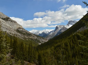
Hike up Galatea Creek to Lillian Lake
Located on Highway 40 (Kananaskis Trail) and marked by the "Galatea" sign, there's not much more to this hike other than putting one foot in front of the other, but the amount of traffic it sees is a testament to the quality of this hike.Even on the backend of winter the numerous shades of green ...Read more -
Kananaskis, Alberta
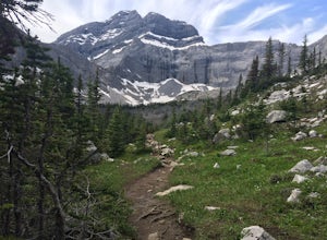
Hike to Lillian Lake and Galatea Lakes
2.09.3 mi / 3018.4 ft gainMake the trek down Hwy. 40 (about 33 km’s) to the trail head - Galatea Day Use Area. It’s very easy to find, as this is one of Kananaskis most popular day hikes. The trail leads into the forest, crossing a suspension bridge and a couple more bridges after that. Due to some flood damage, the bridg...Read more -
Turner Valley, Alberta
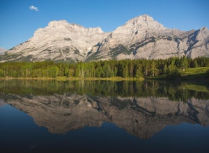
Photograph Wedge Pond
3.00.25 mi / 10 ft gainJust off Highway 1 in Kananaskis Country is a beautiful pond that makes for a wonderful spot to enjoy the first light on the Canadian Rockies. Bring warm clothes as this place can be especially cold. Don't forget a camera and a blanket. I recommend going for sunrise as this is when the lighting i...Read more -
Kananaskis, Alberta
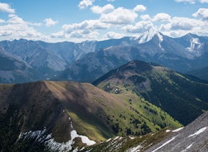
Scramble the Wedge
5 mi / 3444.9 ft gainDrive south on Highway 40 and your adventure begins at Wedge Pond. Parking in the parking lot is easy enough if you're there early enough in the day (before 10:00). The trail up the Wedge starts near the bathrooms, and heads south - not southwest towards the pond. After only a few minutes of walk...Read more -
Kananaskis, Alberta
Exploring Burstall Pass
5.0Head to the northwest corner of the parking lot to find the trail. For the first 5.5 km the trail is quite easy, with only modest elevation increase. At 5.5 km you will arrive at what is known as the gravel flats. Depending on the time of year the gravel flats can be either quite dry or a wide, s...Read more -
Kananaskis, Alberta
Hiking Burstall Pass
5.09.3 mi / 1542 ft gainThe trail begins along the berm beside Mud Lake. After a rather uninspiring 3 km (you can mountain bike this part) the trail narrows and enters trees where tangled roots twist across the path and you breathe in the smells of damp earth and moss.Ten minutes later the trail spits you across a spl...Read more -
Kananaskis, Alberta
Backpack the Fortress Cirque
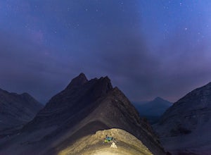
5.012.19 mi / 3507 ft gainNo better way to watch the stars with friends than huddled up in your sleeping bag on top of a 3000m summit. This describes the bivy at The Fortress. Starting at the Chester Lake Trailhead, take the unmarked trail on the right side of the parking lot. These winter cross-country ski trails take y...Read more -
Kananaskis, Alberta
Hike from Headwall Lakes to Chester Lake
5.010.6 mi / 2650.9 ft gainThe hike starts at the Chester Lake trailhead along the Smith Dorian road in Kananaskis. The first few kilometers follow the old logging roads, now used as cross country skiing trails. Find the beginning of the trail at the upper right end of the parking lot, and continue to follow parallel to t...Read more -
Kananaskis, Alberta
Hike to Chester Lake
5.06.2 mi / 984.3 ft gainChester Lake was officially one of my favorite hikes of 2016. It's a short & sweet 5 km's to the lake, with outstanding views in every direction. Fall colors were just starting to peak through and the sky looked amazing. From what I understand, this is one of the more popular hikes in the are...Read more -
Kananaskis, Alberta
Snowshoe Chester Lake
6.2 mi / 984.3 ft gainElevation gain: 300m/984ftEstimated time: 3-6hoursStarting at the trailhead parking lot off of the Smith-Dorrien/Spray Lakes Road this snowshoe is easy to follow on the clearly marked trail. There is a trail that splits off to the left for cross-country skiers make sure you are following the righ...Read more -
Kananaskis, Alberta
Scramble the Fortress
Have you ever done a hike where you just don't want the day to end? Scramble the Fortress and you'll know the feeling. The thing that drew me to the Fortress was its summit elevation of 3000 masl, as well as its blocky, fortress-like profile when viewed from the north. It's so much more than that...Read more -
Field, British Columbia
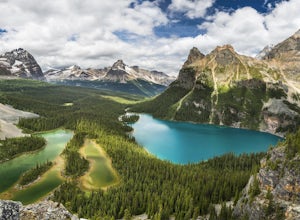
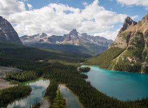
Explore Lake O'Hara
4.8Hidden deep in the Canadian Rockies is Lake O'Hara, a diamond among the rough peaks. Ten minutes drive east of a small town called Field in British Columbia, or sixty minutes west of Banff, Alberta; is a small parking lot where the adventure begins. A $25 return, 30 minute bus ride from there tak...Read more -
Field, British Columbia
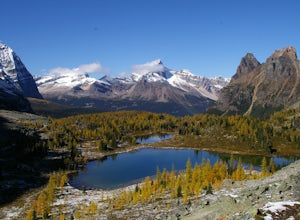
Hike to the Opabin Prospect
5.02.5 mi / 820 ft gainLocated in Yoho National Park, Lake O'Hara is said to be the crown jewel of the Canadian Rockies (rightly so!). Callum Snape has described a bit of the process on what it takes to gain access to Lake O'Hara at this post here. Once you arrive at Lake O'Hara, either at the lodge or at the neighbori...Read more -
Field, British Columbia
Backpack to Alberta's Abbot Pass Hut
3.016.2 mi / 1500 ft gainBuilt in 1922 with the stones from the pass, the Abbot Pass Hut and has served both as a base for mountaineers and as a destination for strong hikers ever since. Sitting at 2,926 meters' elevation, it is second only to the Neil Colgan Hut on the list of highest permanent structures in Canada. The...Read more -
Field, British Columbia
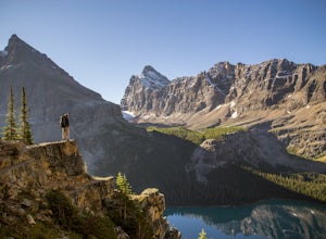
Hike the Yuckness Ledges in Yoho National Park
5.5 mi / 0 ft gainThe Lake O’Hara Alpine Circuit is short loop - but it's not for the faint-hearted. We walked Yuckness Ledges, which is a trail under a large cliff with incredible views over Lake O'Hara and the rest of Yoho National Park. The trail starts from the Lake O’Hara outlet bridge across from the Le Rela...Read more -
Field, British Columbia
Scramble the North Summit of Mount Yukness
6.5 mi / 2690.3 ft gainBeginning at Lake O'Hara, head counter-clockwise around the lake - you'll get distracted by the reflections in the water if the water is calm enough, that's ok. You'll want to take the Opabin East route, but Opabin West will work too. Just remember to get on the east side at some point in time!Th...Read more

