Mount Norquay, Alberta
Looking for the best chillin in Mount Norquay? We've got you covered with the top trails, trips, hiking, backpacking, camping and more around Mount Norquay. The detailed guides, photos, and reviews are all submitted by the Outbound community.
Top Chillin Spots in and near Mount Norquay
-
Field, British Columbia
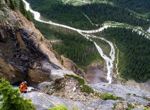
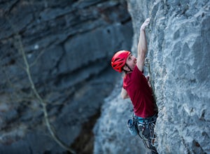
Rock Climb Takakkaw Falls
5.0Summit Elevation- 991 ftNamed after Bernie Schiesser and Sid Marty- Park warden at the time- Takakkaw is derived from a cree word meaning “It is wonderful”5.6- 12 pitches- MixedPark in the designated parking area for Takakkaw Falls in Yoho National Park, Follow a paved trail to the base of the wa...Read more -
Field, British Columbia
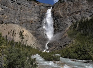
Takakkaw Falls
4.01.2 mi / 196.9 ft gainThis powerful waterfall is unquestionably, one of Canada's largest and most magnificent waterfalls. It falls at around a whopping 381 meters over the sheer cliff of the beautiful Canadian Rockies. The word 'Takakkaw' loosely translates from the language of 'Cree,' into the English phrase, "it is ...Read more -
Columbia-Shuswap A, British Columbia
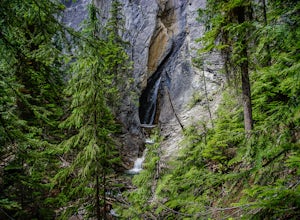
Hike to Hamilton Falls, Yoho NP
4.01.76 mi / 474 ft gainHamilton Falls trail sign is across the parking lot from Emerald Lake and points you in the direction of the trail. The trail will start with a gentle incline which immediately places you into a lush forest as the noise of tourism begins to fade. Approximately 0.4 miles up the trail, you will rea...Read more -
Field, British Columbia
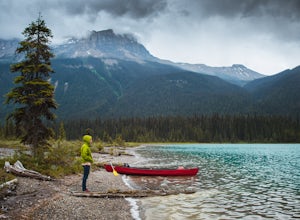
Canoe Emerald Lake
4.32 miBeat the crowd at Moraine Lake and paddle Emerald Lake instead! This lake is a must for any Banff/Yoho explorer. It's an easy drive off HWY 1 but stop at the Natural Bridge along the way. There's a restaurant, Cilantro, inside the lodge with a patio along the shore. Canoe rentals are around $90 ...Read more -
Bragg Creek, Alberta
Rock Climb at White Buddha
4.01.9 mi / 492.1 ft gainTo reach White Buddha, park at the Powerface Creek parking lot. Between December and May, Route 66 is closed at Elbow Falls, so you may need to park at the gate and walk in, about 0.3 miles (500 m). The trailhead is well marked from the parking lot.The first section of the trail is mellow, though...Read more -
Bragg Creek, Alberta
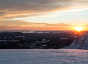
Cross-Country Ski and Scramble to Oldforgetmenot for Sunrise
9.9 mi / 2395 ft gainI think it's because I tend to watch football on Sundays that I've started doing more sunrise hikes --- can't say I regret it either! Oldforgetmenot is a perfect objective to take in a sunrise on: elevation gain isn't too intense, distance isn't too trying, and there are quite a few stretches tha...Read more -
Bragg Creek, Alberta
Hike to Bragg Creek Ice Cave
4.04.3 mi / 5879.3 ft gainAlso known as Moose Mountain Ice Cave, Canyon Creek Ice Cave and Ing Mine.The cave is located on the west side of Moose Ridge andhas a huge entrance, it is approximately1,600 ft. in depth. Take Highway 22 past Bragg Creek, continue on the 66 towards Moose Mountain. Turn off at Canyon Creek Road...Read more

