Banff, Alberta
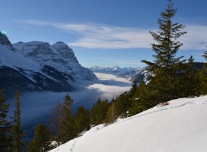
This magical resort town is nestled within Banff National Park and provides the best access to the area's world-class outdoor activities and breathtaking scenery and wildlife.
Top Spots in and near Banff
-
Field, British Columbia
Hike to the Opabin Prospect
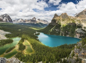
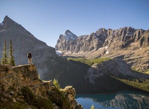
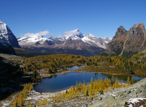
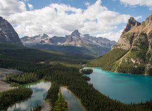
5.02.5 mi / 820 ft gainLocated in Yoho National Park, Lake O'Hara is said to be the crown jewel of the Canadian Rockies (rightly so!). Callum Snape has described a bit of the process on what it takes to gain access to Lake O'Hara at this post here. Once you arrive at Lake O'Hara, either at the lodge or at the neighbori...Read more -
Field, British Columbia
Backpack to Alberta's Abbot Pass Hut
3.016.2 mi / 1500 ft gainBuilt in 1922 with the stones from the pass, the Abbot Pass Hut and has served both as a base for mountaineers and as a destination for strong hikers ever since. Sitting at 2,926 meters' elevation, it is second only to the Neil Colgan Hut on the list of highest permanent structures in Canada. The...Read more -
Field, British Columbia
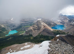
Hike the Yuckness Ledges in Yoho National Park
5.5 mi / 0 ft gainThe Lake O’Hara Alpine Circuit is short loop - but it's not for the faint-hearted. We walked Yuckness Ledges, which is a trail under a large cliff with incredible views over Lake O'Hara and the rest of Yoho National Park. The trail starts from the Lake O’Hara outlet bridge across from the Le Rela...Read more -
Field, British Columbia
Scramble the North Summit of Mount Yukness
6.5 mi / 2690.3 ft gainBeginning at Lake O'Hara, head counter-clockwise around the lake - you'll get distracted by the reflections in the water if the water is calm enough, that's ok. You'll want to take the Opabin East route, but Opabin West will work too. Just remember to get on the east side at some point in time!Th...Read more -
Field, British Columbia
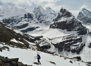
Snowshoe to Wiwaxy Gap
1.03.7 mi / 1310 ft gainViews in the Lake O'Hara area are unique from the “sea of mountains” look that defines many excellent weekend hikes in the Rockies. With Odoray, Yukness, Huber, Wiwaxy, Schaffer, Biddle, and Lefroy in such close proximity to each other, it is easy to imagine you are in Pakistan, Nepal, or Argenti...Read more -
Field, British Columbia
Scramble Little Odaray
6.2 mi / 3116.8 ft gainFirst things first: prior to August 15, there are only 4 groups of people allowed in this area per day, and after August 15, only 2 groups are allowed in. Start early!Starting at Lake O'Hara, head towards the Elizabeth Parker ACC Hut. Continue past the hut and meander through meadows and forests....Read more -
Clearwater County, Alberta
Hike Maze Peak
4.05.3 mi / 2624.7 ft gainThere's not much of a trailhead for Maze Peak - in fact there isn't a trailhead at all. Bring up the start location from this post and pull over on the side of the dirt road once you get to it! The hardest part about this trail is just kind of finding it, really. The good news is that you're goin...Read more -
Kananaskis, Alberta
Snowshoe up Gypsum Ridge
3.7 mi / 1378 ft gainIf you have a topographic map of Kananaskis Lakes, the trailhead is just to the east of Blackshale Creek. If you don't have a topographic map of the area, the Google Maps pin on this adventure will help you get there --- you'll see a pretty large opening on the south side of the road. Luckily, th...Read more -
Kananaskis, Alberta
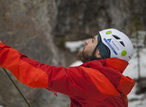
Ice Climb at King Creek
4.0Follow the defined path trailing roughly along the creek bed, a 20 minute hike from the car park. King Creek lies at the bottom of a gorge with steep rock walls on either side and a cascade of fat ice being forced out of the rocks. It's a gorgeous spot, showcasing the true beauty of Kananaskis.It...Read more -
Field, British Columbia
Ski Tour/Snowshoe Mt. Paget
6.8 mi / 8399 ft gainTrailhead: Approximately 5.5km West of the Alberta/British Columbia border sits the Great Divide Lodge. Towards the back left of the main building is the trailhead. Route: The trail is clear from the trailhead and for most of the way to the summit of Mt. Paget. Be aware on your descent if you ...Read more -
Bragg Creek, Alberta
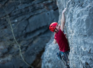
Rock Climb at White Buddha
4.01.9 mi / 492.1 ft gainTo reach White Buddha, park at the Powerface Creek parking lot. Between December and May, Route 66 is closed at Elbow Falls, so you may need to park at the gate and walk in, about 0.3 miles (500 m). The trailhead is well marked from the parking lot.The first section of the trail is mellow, though...Read more -
Bragg Creek, Alberta
Hike White Buddha via Powderface Trail
3.02.5 mi / 1148.3 ft gainFollow Hwy. 66 until you come upon the Powderface Staging Area. This is the trailhead. If you are coming between December & May, park at the Elbow Falls Day use area and walk along the road approximately 100 meters. This trail is easy to find and is quite wide. Follow the Powderface Creek Tra...Read more -
Bragg Creek, Alberta
Winter Hike Up Vent's Ridge
Whether it was the unseasonably warm weather; the forested, uneven, foot-wide, root-covered trail; limestone cliffs towering above me; the view of Myosotis Peak from the ridge; or exploring along Powderface Creek on the descent, this trail was an absolute blast.If you do this hike in February lik...Read more -
Bragg Creek, Alberta
Prairie Mountain and Elbow Falls
4.422 km west of Bragg Creek, turn off Highway 66 at the Elbow Falls Parking Lot. Park on the North side of the road on the shoulder at the winter closure gates. The trail is well-defined and heads straight up (North) from the highway.The trail begins with some steep switchbacks, but then levels out...Read more -
Bragg Creek, Alberta
Hike Iyarhe Ipan
3.02.5 mi / 1476.4 ft gainIyarhe Ipan means "mountain point" in Stoney, and while it's far from the highest peak you'll ever climb, it certainly is worth it. Iyarhe Ipan was the fix for the scrambling itch I've had all winter.Before Highway 66 opens in the summer, you'll have to park your car at Elbow Falls parking lot an...Read more -
Bragg Creek, Alberta
Cross-Country Ski and Scramble to Oldforgetmenot for Sunrise
9.9 mi / 2395 ft gainI think it's because I tend to watch football on Sundays that I've started doing more sunrise hikes --- can't say I regret it either! Oldforgetmenot is a perfect objective to take in a sunrise on: elevation gain isn't too intense, distance isn't too trying, and there are quite a few stretches tha...Read more

