Becky Simrose
Seriously in love with the mountains and ocean... and travel. I live in Calgary, just a short drive from Banff and so spend a lot of time in the mountains. When I'm not working I'm often on Vancouver Island...my other home and my ocean fix!
Hiking Burstall Pass
Kananaskis, Alberta
5.0
9.3 mi
/ 1542 ft gain
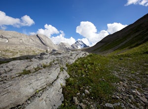
The trail begins along the berm beside Mud Lake. After a rather uninspiring 3 km (you can mountain bike this part) the trail narrows and enters trees where tangled roots twist across the path and you breathe in the smells of damp earth and moss.Ten minutes later the trail spits you across a split log bridge onto the gravel flats where braided glacial fed streams wind among the willows. Robert...
Explore Mount Assiniboine Provincial Park
Edgewater, British Columbia
5.0
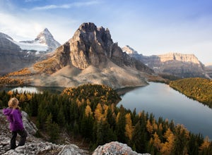
Mount Assiniboine Provincial Park is a UNESCO World Heritage Site sequestered 27 km from the nearest road. We took a helicopter in, and hiked out . You can also hike both ways, but the hiking once you are there is more amazing than on the way in. You can also ski in on backcountry skis in the Winter.We stayed at the Naiset huts, with basic shelters, shared accommodation in hostel-style bunks, a...
Hike from Headwall Lakes to Chester Lake
Kananaskis, Alberta
5.0
10.6 mi
/ 2650.9 ft gain
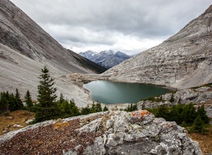
The hike starts at the Chester Lake trailhead along the Smith Dorian road in Kananaskis. The first few kilometers follow the old logging roads, now used as cross country skiing trails. Find the beginning of the trail at the upper right end of the parking lot, and continue to follow parallel to the road until until the trail ends at a T intersection, turn left and follow the trail down to Head...
Hiking the Goldmine Trail
Langford, British Columbia
4.5
2.2 mi
/ 295.3 ft gain
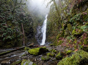
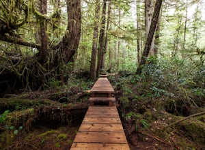
Goldstream Provincial Park is just a short drive from Victoria. Within 20 minutes of leaving the city center, you can be immersed in an old growth temperate rain forest.From Victoria, take the Trans-Canada highway to the start of the Malahat. The Goldstream day use area is well marked. Stop here if the salmon run is on or you want to visit the Goldstream Nature House. In the dry season you can ...
Hike to Jocelyn Hill
Victoria, British Columbia
4.0
5.75 mi
/ 1499 ft gain
Gowlland Tod is a beautiful park, running along the Finlayson Arm fjord. Jocelyn hill is in the middle of the park, and can be accessed from the Caleb Pike access at the South end (along the Ridge trail) or from the McKenzie Bight access at the North end (along the Timberman trail). With planning and two vehicles you can hike from the Caleb Pike access point, over Jocelyn hill and finish at th...
Snowshoe to Silverton Falls and Rockbound Lake
Improvement District No. 9, Alberta
10.4 mi
/ 2493.4 ft gain
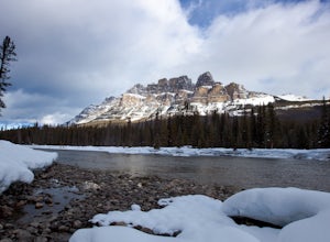
Park at Rockbound Lake Trailhead, 0.2 km east of Castle Junction on Bow Valley Parkway (Highway 1A).The trail wanders through forest until coming to a fork to the right, leading to SilvertonFalls. This is a worthwhile 1 km side trip to a beautiful small waterfall dropping into a turquoise blue pool. Return the way you came to the main trail and continue onwards.The trail switchbacks through for...
Rawson Lake
Kananaskis, Alberta
4.5
5 mi
Getting There From Highway 1, Take Highway 40 South to Kananaskis Lakes Trail, and turn left at Upper Kananaskis Lakes Drive.
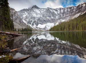
The Trail The trail to Rawson Lake starts at the end of the "Day Use Area" at Upper Kananaskis Lake. The lake gently laps the shoreline to the right and moss carpets the forest to the left. Soon the sound of water can be heard, and the trail drops down to Sarrail Creek...
Hike to Grizzly Ridge near Highwood Pass
Kananaskis, Alberta
4.2 mi
/ 1840.6 ft gain
The hike starts at 2206 meters elevation Highwood Pass, and takes you through beautiful Pocaterra Cirque up to the peak of Grizzly ridge at 2767 meters, an impressive altitude to attain with only a 561 meter climb.Park at the parking lot at Highwood Pass, and follow the interpretive trail to a small trail that branches to the left along the meadow and then meanders up through trees. You will ...
Hiking Willowbrae to Halfmoon Bay and Florencia Bay
Ucluelet, British ColumbiaThe Willowbrae trailhead is not marked along the Tofino Ucluelet highway and the turnoff is easy to miss. Driving from Tofino look for Willowbrae Road on the right hand side, 2 kilometers past the Port Alberni junction. From Ucluelet this road is on the left, 5 kilometers from town. Drive up this gravel road to the parking lot with a yellow barrier at the trailhead.The trail begins as a wi...
Snowshoe to Mirror Lake and Lake Agnes
Improvement District No. 9, Alberta
3.2 mi
/ 967.8 ft gain
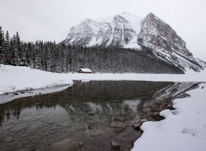
Lake Agnes is an extremely popular and crowded hiking trail in the summer. In the winter, however, you will meet very few people on this trail. The mountain peaks are breathtaking and this area almost always has good snow for snowshoeing.Beyond Mirror Lake the terrain is rated callenging Class II for avalanche hazard and checking the current avalanche conditions and carrying appropriate equipme...
Scramble Table Mountain near Pincher Creek
Pincher Creek No. 9, Alberta
6.2 mi
/ 2296.6 ft gain
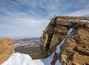
The trail starts at Beaver Mines Lake Campground.From the town of Beaver Mines, take route 774 South to the well marked Beaver Lakes campground turn off. Drive to the end of the camp where you will see a trail head sign board. The trail starts beside the parking sign (A second trail at the end of the parking area leads uphill and is simply a forest loop trail).At 500 meters, the trail passes th...
Hiking through the Avatar Grove
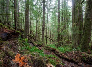
Port Renfrew, British ColumbiaTo get to the Avatar Grove, drive to Port Renfrew along West Coast highway 14. Turn right onto Deering Rd and cross the long bridge over the San Juan River. Stay right at the next Y intersection, and then left at the T intersection. At the next Y keep left and cross a tall bridge over the crystal clear Gordon River . Stay right at next Y, and then cross a small bridge at Baird creek. Park ...
Devil's Thumb Scramble
Improvement District No. 9, Alberta
7.09 mi
/ 2575 ft gain
Park in the visitor parking lot at the Chateau Lake Louise parking lot in time for sunrise at Lake Louise...not to be missed! Then follow the pathway to the right around the lake to the Lake Agnes turnoff (well marked, with a small bronze statue at the intersection.)
The waterfall is just before a flight of stairs leading up to the teahouse and Lake Agnes. Follow the trail past the teahouse a...
Community
© 2024 The Outbound Collective - Terms of Use - Privacy Policy

