Park County, Wyoming
Looking for the best photography in Park County? We've got you covered with the top trails, trips, hiking, backpacking, camping and more around Park County. The detailed guides, photos, and reviews are all submitted by the Outbound community.
Top Photography Spots in and near Park County
-
44.444708,-110.804603
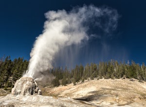
Hike to Lone Star Geyser
4.55 miLone Star Geyser gets its name from being one the most isolated major geysers. The trailhead begins just south of Old Faithful, along the Loop Road. This trail follows the Firehole River for 2.5 miles along an old service road, through a mix of wooded areas and open meadows. Wildlife spotting is ...Read more -
Yellowstone National Park, Wyoming
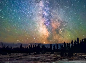
Photograph the Milky Way over Yellowstone's West Thumb Geysers
5.00.7 miVisiting Yellowstone National Park during the daytime is enchanting; with its geysers, lake and wildlife attracting tourists and photographers from across the world. Stay after dark however, and the park takes on a magic that is as indescribable as it is dynamic. Combine this magic with clear; da...Read more -
Yellowstone National Park, Wyoming
Backpack to Slough Creek's Backcountry Campsites
20.49 mi / 1286 ft gainAccess to Slough Creek is via the Slough Creek Road that starts 6 miles east on the Northeast Entrance Road from Tower Junction. It is 2.5 miles to the Slough Creek Campground located at the end of the road. Starting at the Slough Creek Trailhead you will find a small parking area and a restroom...Read more -
Yellowstone National Park, Wyoming
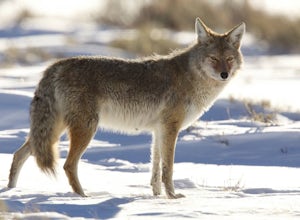
Photograph Wildlife in Lamar Valley
5.0This adventure is a little harder to pinpoint on a map because the Lamar Valley of Yellowstone encompasses a large area of the park. Also, the premier wildlife photography can be found on either end of what is officially "Lamar Valley" so you want to pay attention for a good part of the drive. Yo...Read more -
Gallatin Gateway, Montana
Cross-Country Ski at Bacon Rind Creek
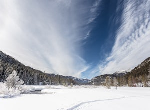
4 mi / 300 ft gainThe trail down Bacon Rind Creek starts along HWY 191, between West Yellowstone and Big Sky. The trail starts at about 7,000 feet of elevation and the first two miles of trail are located inside Yellowstone National Park. The trail then continues through the Lee Metcalf Wilderness and will climb s...Read more -
Yellowstone National Park, Wyoming
Hike to Avalanche Peak
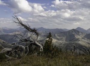
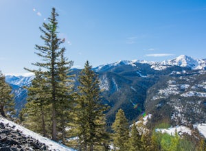
5.04.6 mi / 2100 ft gainAvalanche Peak is a short hike up to one of few peaks in Yellowstone National Park accessible by trail. At about 870 feet per mile it’s a leg buster. But with sweeping views of Yellowstone and neighboring mountain ranges, it’s worth it. This hike isn’t as well known as others in Yellowstone. Pa...Read more -
Yellowstone National Park, Wyoming
Stand Up Paddle Lewis Lake to Shoshone Lake
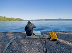
5.0It is something fantastic if you know how to use a standup paddle board. Being able to paddle from one lake to another where no roads can reach via a small channel with natural geysers going off and trout rising to morning and afternoon flies. The water being, in some parts, very warm because of...Read more -
West Yellowstone, Montana
Camp at Cherry Creek Campground at Hebgen Lake
In early November we drove from Big Sky to this free campsite located on the southern part of the lake. The road is dirt but mellow. We saw no other campers the entire 2 days we were there. We got out on our inflatable kayak the first day and paddled out on the glassy water near some enormous fl...Read more -
Yellowstone National Park, Wyoming
Photograph Lewis Falls, Yellowstone NP
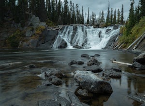
4.00.32 miIf you are coming into Yellowstone National Park from the South Entrance Road (also known as Highway 89) be prepared to stop minutes before Lewis Lake to hike to this waterfall. After crossing the bridge over the Lewis River pull over on the right hand side of the road, there should be plenty of ...Read more -
Island Park, Idaho
Explore Big Springs and Johnny Sack's Cabin
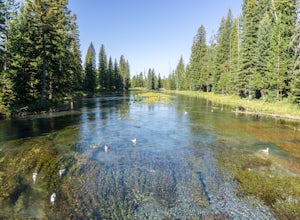
4.51 mi / 20 ft gainBig Springs is the headwaters of the Henry's Fork of the Snake River. Producing 120 million gallons of water per day, the spring forms wide and crystal-clear pools filled with trout (no fishing allowed). A paved trail leads to historic Johnny Sack's cabin, which is open for tours during the summe...Read more -
West Yellowstone, Montana
Fly Fish the Madison River (Hebgen Lake to Earthquake Lake)
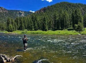
The Madison River runs for 183 miles through Wyoming and Montana; however, this section of the Madison is between Hebgen Lake and Earthquake Lake. You get there by driving along Hebgen Lake Road to the Campfire Lodge Resort. Turn into here and head down the dirt road to your right (Ghost Village ...Read more -
Livingston, Montana
Summit Arrow Peak
2.4 mi / 3600 ft gainStarting in Livingston, MT, take Hwy 89 for 16 miles and take a left on Mill Creek Road. A junction with Road 540 will be reached. At this junction, continue on Mill Creek Road for another 8 miles until a large rock gully on the left is present and a wooden fence is on the right. The route is not...Read more -
Park County, Montana
Backpack the Aero Lakes to Granite Peak
26 mi / 6200 ft gainGranite Peak is considered one of the most difficult state high-points, for its remoteness and its climbing challenge. Unfortunately, the access to this route is very remote. Fortunately, this route to the summer is the easiest way up in terms of the technical climbing challenge. This route, k...Read more -
Island Park, Idaho
Explore Henry's Fork Dam in Island Park
5.0Don't be confused by Island Park Dam or the map location "Henry's Fork." This little spot is right on the actual fork in the river, but since most people don't know about it, you'll probably have it all to yourself! Once you park, walk down to the dam bridge. From there you can take in the scener...Read more -
Moran, Wyoming
Huckleberry Mountain via Sheffield Creek Trail
10.1 mi / 2648 ft gainThis hike has it all and at 10 miles round-trip, is not difficult depending on the conditions. I hiked it the last weekend of October in tennis shoes and shorts (albeit with leggings) and was dressed adequately for about 2/3 of the hike. The last 1.5 miles on the way to the fire tower was through...Read more -
Yellowstone National Park, Wyoming
Photograph Cave Falls
3.5Cave Falls is one of the hidden waterfalls of Yellowstone National Park that really only the natives know about. Although Cave Falls originally derived its name from a cave next to the waterfall, the cave has since collapsed and is no longer accessible. Known for its enormous length of 250 feet, ...Read more
Top Activities
Let Adventure be your Destination in Wyoming
Wyoming’s wide-open spaces make it easy to get off the grid and on a trail, through a park, into a forest, up a mountain or down a river. During your journey through Wyoming’s Black to Yellow Region, discover geologic marvels, dense evergreen forests and sprawling prairielands.
Learn More

