Moran, Wyoming
Looking for the best photography in Moran? We've got you covered with the top trails, trips, hiking, backpacking, camping and more around Moran. The detailed guides, photos, and reviews are all submitted by the Outbound community.
Top Photography Spots in and near Moran
-
Alta, Wyoming
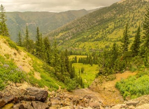
Hike Darby Canyon to the Wind Cave
4.9The best time to hike Darby Canyon is May through September, since the snow stays late in spring and comes earlier in fall.Hiking up Darby Canyon to the Wind Caves provides spectacular views of the Jedediah Smith Wilderness and is a fun, yet challenging hike. It is a popular day hike, and many fa...Read more -
Dubois, Wyoming
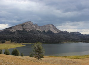
Camping at Brooks Lake
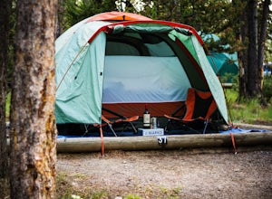
5.0Brooks Lake is going to be a short 45 minute drive east of Grand Teton, but the spectacular scenery is well worth the drive. This lake is a grizzly bear hot spot, so keep your eyes open. If you pack your rod and reel, then this is a great spot to fish for trout. If photography is one of your favo...Read more -
Jackson, Wyoming
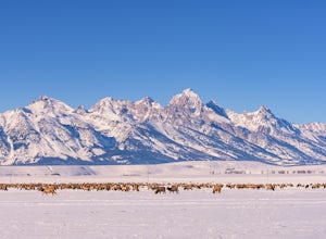
Winter Wildlife Photography in Grand Teton National Park
5.0Winter is a special time in Grand Teton National Park. The landscape is transformed into a winter wonderland, and there is a stillness and quiet that you won't find in the busier tourist seasons. It is also a prime time for spotting wildlife as many species move down from the surrounding mounta...Read more -
Dubois, Wyoming
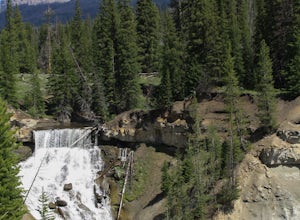
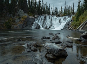
Photograph Brooks Lake Creek Falls
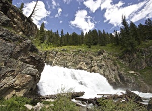
5.00.5 miThis waterfall is is located at the Falls campground near Togwotee Pass. Located right off the highway it is a must stop on your way to Yellowstone or Grand Teton. If you choose to camp here, the waterfall is literally right in your backyard, no hike necessary. However, if you aren't camping here...Read more -
Yellowstone National Park, Wyoming
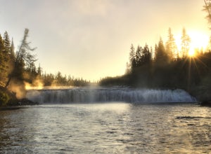
Photograph Lewis Falls, Yellowstone NP
4.00.32 miIf you are coming into Yellowstone National Park from the South Entrance Road (also known as Highway 89) be prepared to stop minutes before Lewis Lake to hike to this waterfall. After crossing the bridge over the Lewis River pull over on the right hand side of the road, there should be plenty of ...Read more -
Yellowstone National Park, Wyoming
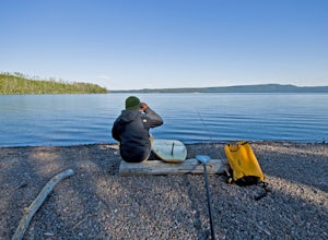
Stand Up Paddle Lewis Lake to Shoshone Lake
5.0It is something fantastic if you know how to use a standup paddle board. Being able to paddle from one lake to another where no roads can reach via a small channel with natural geysers going off and trout rising to morning and afternoon flies. The water being, in some parts, very warm because of...Read more -
Yellowstone National Park, Wyoming
Photograph Cave Falls
3.5Cave Falls is one of the hidden waterfalls of Yellowstone National Park that really only the natives know about. Although Cave Falls originally derived its name from a cave next to the waterfall, the cave has since collapsed and is no longer accessible. Known for its enormous length of 250 feet, ...Read more -
Alta, Wyoming
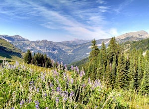
Hike Coal Creek Trail
Imagine hiking through the expansive valleys of wildflowers and evergreen forests with grand views of the Tetons. That is exactly what this trail provides. The coal creek trail is an access trail to many other great trails throughout the Bridger-Teton National Forest. This gives the adventurer th...Read more -
Jackson, Wyoming
Take a Dip at "Hippie" Hot Springs
4.8Hippie Hot Springs is definitely one of the better kept secrets in the area. In fact, locals will probably get mad that I am even letting others know about it. Recently the Park Service has really cracked down on people illegally bathing in the more popular hot springs up near Flagg Ranch. The go...Read more -
Yellowstone National Park, Wyoming
Dunanda Falls via Boundary Creek Trail
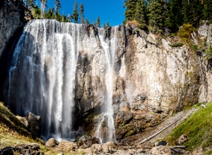
4.516.56 mi / 771 ft gainYou'll start at the Bechler Ranger Station and take the Boundry Creek Trail. Depending on which camp site you reserve your hike will be anywhere from 5-9 miles. We camped at site 9A1 5 miles from the ranger station. Hiking to waterfall is 16+ miles round trip Your feet will get wet on this hike,...Read more -
Yellowstone National Park, Wyoming
Photograph the Milky Way over Yellowstone's West Thumb Geysers
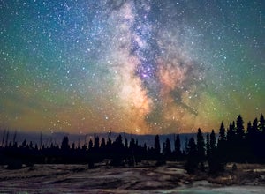
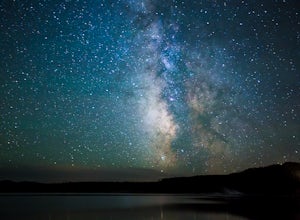
5.00.7 miVisiting Yellowstone National Park during the daytime is enchanting; with its geysers, lake and wildlife attracting tourists and photographers from across the world. Stay after dark however, and the park takes on a magic that is as indescribable as it is dynamic. Combine this magic with clear; da...Read more -
Yellowstone National Park, Wyoming
Camp at Indian Creek Campground at Yellowstone NP
Indian Creek Campground is located inside Yellowstone National Park, closest to the northern entrance of the park and just eight miles from Mammoth Hot Springs. It's open from mid-June through mid September and is just $15 a night to camp at. The campground itself is very well maintained and kept...Read more -
Yellowstone National Park, Wyoming
Drive the Grand Loop in Yellowstone NP
4.7Many people who live an active our outdoor lifestyle have been to many places to climb, hike, camp, etc. Yellowstone National Park needs to be on every single persons bucket list. Sometimes you need to do the tourist thing and see the iconic sites for yourself. Yellowstone is massive and would ...Read more -
Yellowstone National Park, Wyoming
Photograph the Milky Way over Yellowstone Lake
5.0Yellowstone Lake is huge and it would take a few hours to drive around the entire lake. But traveling around the lake, there are many pullouts available to park your car and walk down to the lake just a couple of feet from the car. Make sure that you are looking for an interesting foreground and ...Read more -
Tetonia, Idaho
Packsaddle Lake
4.80.74 mi / 259 ft gainDirections to the lake:To get here, head North on Highway 20 as if you’re heading to St. Anthony. Then, take exit 339 towards Driggs on ID-33 E. Turn right onto 9th N for .5 miles. Then follow ID-33 E for 24.4 miles until you reach the dirt road Hoopes Rd. Drive. Drive on this road for 5.9 miles ...Read more -
44.444708,-110.804603
Hike to Lone Star Geyser
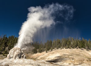
4.55 miLone Star Geyser gets its name from being one the most isolated major geysers. The trailhead begins just south of Old Faithful, along the Loop Road. This trail follows the Firehole River for 2.5 miles along an old service road, through a mix of wooded areas and open meadows. Wildlife spotting is ...Read more
Top Activities
Let Adventure be your Destination in Wyoming
Wyoming’s wide-open spaces make it easy to get off the grid and on a trail, through a park, into a forest, up a mountain or down a river. During your journey through Wyoming’s Black to Yellow Region, discover geologic marvels, dense evergreen forests and sprawling prairielands.
Learn More

