Laramie, Wyoming
Top Spots in and near Laramie
-
Carbon County, Wyoming
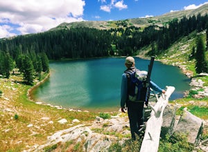
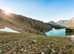
Fly Fish at Heart Lake
When most people come to Medicine Bow National Forest, they usually do one of two hikes: the Lakes Trail or the Peak. Yes, both are spectacular. But break out your topo map to discover some of Medicine Bow's hidden gems, like Heart Lake.The first adventure of this hike is getting there. From High...Read more -
Laporte, Colorado
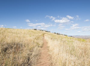
Hike the 3 Bar and Oh Tee Loops at Eagle's Nest Open Space
5 mi / 150 ft gainTo get to Eagle's Nest Open Space drive on Highway 287 between Laramie, Wyo. and Fort Collins, Colo. As you continue down 287, look for the Forks restaurant and rest stop in Livermore, Colo. Turn here onto Red Feather Lakes Road. After a few hundred feet on Red Feather Lakes Road, look for the E...Read more -
Bellvue, Colorado
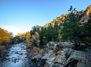
Poudre Canyon Run
5.026.2 mi / 1800 ft gainStretching 126 miles from its source in the Rocky Mountain National Park, the Cache La Poudre (pronounced: Poo-ter) river provides host to an entire treasure trove of outdoor recreational activities. From Fly Fishing and rafting to camping and photography. Carved away by thousands of years of flo...Read more -
Livermore, Colorado
Mt. McConnel Summit Trail Loop
4.26 mi / 1453 ft gainThis 4.3-mile round trip hike gains 1300 feet of elevation before reaching the Mt. McConnel summit. The primitive trail is rated as difficult and has an ascent of many switchbacks, leading up to a wild flower-covered summit. The trail winds along the ridge line around 8,000 feet, offering panoram...Read more -
Bellvue, Colorado
Trail Run the Hewlett Gulch Trail
5.08.5 mi / 800 ft gainHewlett Gulch Trailhead is located about 20 minutes from Fort Collins and offers easy hiking in the Poudre Canyon.From Fort Collins, take 287 to Ted's Place. Take a left onto CO 14 and follow 14 through the canyon just past Poudre Park where you see the trailhead sign. Turn left onto the road tha...Read more -
Bellvue, Colorado
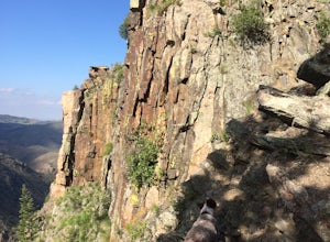
Climb Greyrock Mountain
5.07.1 mi / 3000 ft gainThe main trail begins at the Cache La Poudre river on the Poudre Canyon Highway about 30 minutes from Fort Collins. After about .75 miles the trail splits. To go left on Greyrock Meadows trail adds 2 miles to your trip and provides excellent views of Greyrock Mountain and Meadows from the south, ...Read more -
Bellvue, Colorado
Hike the Black Powder Trail
1.5 mi / 450 ft gainThe Gateway Natural Area, part of the City of Fort Collins public lands system, is a wonderful (and close to the city) place to begin exploring the many outdoor assets and activities found in the greater Fort Collins area. The Black Powder Trail is a relatively easy, well-marked 1.5 mile out and ...Read more -
Bellvue, Colorado
Photograph Poudre Falls
To get to Poudre Falls, simply drive up Poudre Canyon on Highway 14, just north-west of Fort Collins. The drive all of the way up to the falls is a little bit of a jaunt and will take about an hour or so. There are plenty of cool things to see on the way, so have the camera in the passenger seat...Read more -
Walden, Colorado
Backpack to Kelly Lake In State Forest SP
13.2 mi / 2624 ft gainRound trip will take you along 13.2 beautiful miles of Northern Colorado backcountry. Starting from the trail head which can be found within the entrance of the park (near the horse ring and car camping), you'll head into some beautiful backcountry. Before you reach the woods, a 4x4 trail will be...Read more
Top Activities
Let Adventure be your Destination in Wyoming
Wyoming’s wide-open spaces make it easy to get off the grid and on a trail, through a park, into a forest, up a mountain or down a river. During your journey through Wyoming’s Black to Yellow Region, discover geologic marvels, dense evergreen forests and sprawling prairielands.
Learn More

