Saxon, Wisconsin
Looking for the best hiking in Saxon? We've got you covered with the top trails, trips, hiking, backpacking, camping and more around Saxon. The detailed guides, photos, and reviews are all submitted by the Outbound community.
Top Hiking Spots in and near Saxon
-
Bayfield, Wisconsin
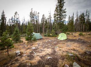
Camp at North Fork Campground
1.0North Fork campground isn't the most sought after campground, but it is a diamond in the rough and a great alternative if Brooklyn Lake Campground and Sugarloaf Campground are full. It is reservable, but they also have an abundance of first come first serve sites available. At 8,600 ft the campgr...Read more -
Ontonagon, Michigan
Backpack the Little Carp River Trail in the Porkies
4.015.3 mi / -720 ft gainThe Little Carp River Trailhead is located in the center of the Porcupine Mountain State Park, about 16 miles west of the park headquarters on S. Boundary Road. At the start of the trailhead, hikers can see Overlooked Falls. About a mile in one the trail, Greenstone Falls can be seen past both th...Read more -
Marenisco, Michigan
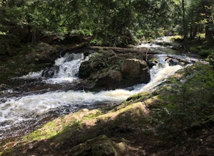
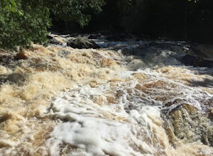
Hike to Yondota Falls
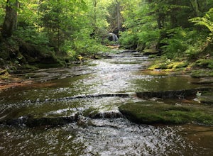
5.00.5 miOutside of Marenisco, MI, take Cty Rd 523 north of town. The trailhead is just north of the bridge over Presque Isle River, hidden away in the trees. We missed it our first pass over the bridge. Once at the trailhead, hike down roughly 0.25 to 0.5 miles to see the waterfalls to your left. There a...Read more -
Ontonagon, Michigan
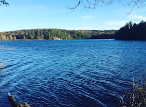
Mirror Lake Cabins Loop
6.24 mi / 584 ft gainThe trip to Mirror Lake begins at the Summit Peak Scenic Area. To extend your hike, start at the Lily Pond trail-head farther south on Summit Peak Road (5.3 miles to cabin). The initial trail towards the lake is the Beaver Creek trail (1.2 miles). The trail climbs down the peak slope into some lo...Read more -
Ontonagon, Michigan
Summit Peak Observation Tower
0.9 mi / 190 ft gainSummit Peak Observation Tower is an out-and-back trail that takes you by a lake located near Ontonagon, Michigan.Read more -
Ontonagon, Michigan
Hike the Escarpment Trail
3.58.6 miUpon arriving at Porcupine Mountains State Park (from Highway 107) in Ontonagon, Michigan, follow signs to the Lake of the Clouds Overlook parking lot. From this overlook you will get a taste of the many views of Lake of the Clouds that are to come. The Escarpment Trail begins here and parallels ...Read more -
Ontonagon, Michigan
Backpack the Big Carp River and Lake Superior Trails in the Porkies
18.2 miWe started our hiking in the afternoon at the Lake of the Clouds parking lot. Our original plan for the hike was to thru hike the Lake Superior Trail, however, due to muddy conditions and recent rain, we chose the Big Carp River Trail as a dryer route to get to our mid-camp point near the Big Car...Read more -
Ontonagon, Michigan
Hike Lake of the Clouds in the Porcupine Mountains
1.4 mi / 334 ft gainHiking in the porcupine mountains could be a day trip or a week trip. From a short rim hike overlooking Lake of the Clouds to a three day back country camping excursion, there are endless amounts of options for planning a getaway to the Porcupine Mountains. Located in the far northwest of Michig...Read more -
Bayfield, Wisconsin
Catch a Sunset at Hokneson Fishery
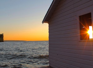
0.16 mi / 11 ft gainBegin at the campground visitor center. Follow the marked paved trail right roughly .08 of a mile. The paved trail ends onto a sandy beach and the abandoned Hokenson Fishery. The trail itself is very short and should take less than 3 minutes to get to.Read more -
Cornucopia, Wisconsin
Hike to Lost Creek Falls
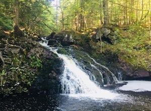
4.02.5 miThe trailhead has been updated for Lost Creek Falls and can now be found on Trail Drive in Cornucopia. On this well-marked 3-mile trail, there are signs along the trail, new boardwalks, and a larger parking area. This is a very nice trail en route to beautiful falls.Read more -
Bayfield, Wisconsin
Hike the Lake Superior Ice Caves
5.01 miBegin at Meyer's Beach in the Apostle Islands National Lakeshore near Cornucopia, WI. There is a parking lot, but get there early in the day to get a spot and make sure to use the bathroom before heading out. There is no opportunity on the ice.Head out onto the frozen lake and follow the shorelin...Read more -
Bayfield, Wisconsin
Meyer's Beach Sea Cave Trail
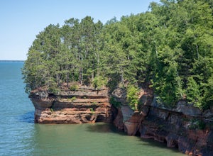
4.33 mi / 791 ft gainWhile many visitors view the mainland Apostle Island Caves via kayak, this trail provides an alternative view of the caves. The Meyer’s Beach Sea Cave Trail follows 2.3 miles of the Lakeshore Trail, which begins at the Meyer’s Beach parking lot near Cornucopia, Wisconsin. The first 0.7 miles of t...Read more -
Ontonagon, Michigan
Backpack the Union Spring and Lost Lake Trails in the Porkies
8.1 mi / 600 ft gainThe hike begins at the Union Spring trailhead, roughly two miles south of the Park Headquarters on Boundary Road. This area of the park is also the winter cross country and snowshoeing section of the park, so many of the trails are marked for winter travel. To make sure you stay on the summer rou...Read more -
Boulder Junction, Wisconsin
Hike the Fallison Lake Nature Trail
2.5 miReachable by car or along the Heart of Vilas paved bike trail, start your trip by filling up your water bottle at the old manual well pump (if you forget there's another at the halfway point!). Turn right to start down the rolling 2.5 mile Red trail. If you're short on time, you can cut off some ...Read more

