Port Wing, Wisconsin
Top Spots in and near Port Wing
-
Finland, Minnesota
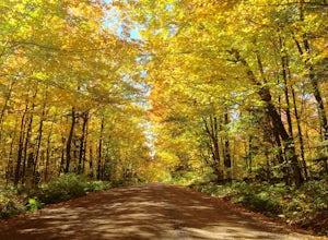
Drive Superior National Forest's Fall Color Route
5.0Every Autumn, Superior National Forest in northern Minnesota designates some of it's best roads as official Fall Color Routes. These roads go deep into the forest, far from towns and cell phone reception to show off the best Minnesota has to offer. Peak season is short, only a week or two sometim...Read more -
Mellen, Wisconsin
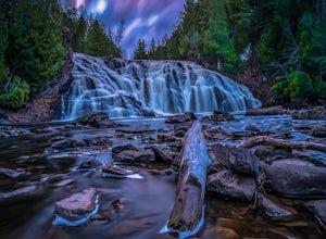
Hike to Copper Falls
4.62 mi / 85 ft gainComing into the park on Hwy 169, you will turn west/northwest into the park entrance. After passing the Ranger's Station you will follow the road (passing camp areas and showers along the way) all the way to the main parking lot near a concessions building. *The handicap parking lot is a little f...Read more -
Finland, Minnesota
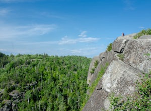
Hike to the Superior Hiking Trail's Section 13
4.02 mi / 450 ft gainGetting there:From Duluth, follow Highway 61 until you reach mile marker 65 -- shortly after this you will turn left on Lake County Road 6. Continue for just over 2 miles and the trailhead parking lot will be on your right. There is a sign with mileage to nearby backpacking campsites if you want ...Read more -
Mellen, Wisconsin
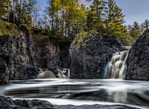
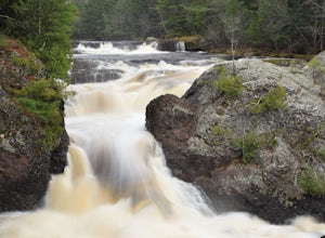
Hike to Red Granite Falls
2.5 mi / 100 ft gainStarting at the parking lot for Loon Lake, follow the signs for Red Granite Falls across a grassed yard and into the woods. The trail is a wide, well-maintained gravel trail that creates a figure-eight loop as it crosses itself twice. Halfway along the trail (regardless of which loop direction yo...Read more -
Saxon, Wisconsin
Lower Potato Falls
3.60.48 mi / 207 ft gainComing into the park off Hwy 169 in Gurney, WI, you will turn West onto Falls Rd. It is a gravel road that ends at a circular parking lot, complete with a pit toilet, picnic area, viewing areas, and trailheads. Starting at the trailhead labeled "Lower Potato Falls", you will descend a couple hun...Read more -
Saxon, Wisconsin
Upper Potato Falls
0.28 mi / 85 ft gainYou will turn off of Hwy 169 onto a gravel road, follow the road all the way to the end for the trail head. Please drive respectfully as people live on this road. Once you park, you will see multiple trails down to the river. Find the sign for Upper Falls and head that way. After .3 miles you wil...Read more -
Esko, Minnesota
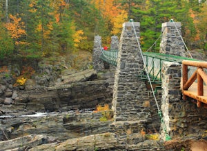
Hike the Carlton Trail at Jay Cooke State Park
5.04 miHike the trails at Jay Cooke State Park in the autumn to see a stunning display of red, gold, and orange foliage colors lining the banks of the St. Louis river. Beginning at the River Inn Visitors Center at the park's headquarters, head over to the newly rebuilt swinging suspension bridge crossin...Read more -
Ironwood, Michigan
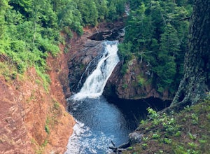
Hike to Superior Falls
4.00.5 mi / -100 ft gainSuperior Falls sits right next to the Superior River, near the northern terminus of the Montreal River. The parking area for the falls is rather large, and there are porta-potties directly next to the parking area. To see the lower region of the falls, you can hike down to the base of the river,...Read more

