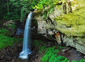
Waiteville, West Virginia
Looking for the best photography in Waiteville? We've got you covered with the top trails, trips, hiking, backpacking, camping and more around Waiteville. The detailed guides, photos, and reviews are all submitted by the Outbound community.
Top Photography Spots in and near Waiteville
-
Eagle Rock, Virginia
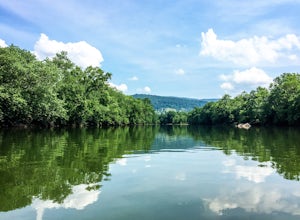
Canoe or Kayak the Upper James River
4.3Put in at the Horseshoe Bend Boat Ramp near Buchanan, VA. The pin on the map will take you right there. Takeout will be at the boat ramp in downtown Buchanan, approximately 9 miles down river. This ramp is located just above the Rt. 11 bridge.Twin River Outfitters uses this ramp also, so there's ...Read more -
Camp Creek, West Virginia
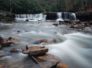
Photograph Mash Fork and Campbell Falls in Camp Creek SP
5.0Right off interstate I-77, Camp Creek State Park has two waterfalls that you can easily access: Mash Fork Falls and Campbell Falls. These falls can both have very low flows in late summer, so try to plan your visit for times of higher flows (early spring or after a rain). Mash Fork Falls is in th...Read more -
Renick, West Virginia
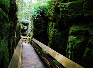
Explore Beartown State Park
4.30.6 mi / 50 ft gainFrom Rt. 219 about 7 miles south of Hillsboro, West Virginia, there are well-marked signs for Beartown State Park. This narrow road winds about a mile until the small parking area for the state park. The boardwalk trail starts to the left of the bathrooms, and it is encouraged to walk the trail...Read more -
Beaver, West Virginia
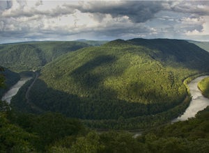
Grandview Overlook in the New River Gorge
5.0From the main parking lot at Grandview's visitor center, follow the well marked paved trail about 0.1 miles to the Main Overlook. There is a large platform for viewing the New River here. A wide angle lens is best to photograph this large bend in the river. There is another overlook in the park...Read more -
Bedford, Virginia
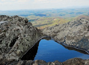
Sharp Top Trail
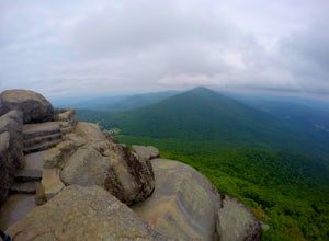
4.72.91 mi / 1296 ft gainOnce thought to be the highest peak in Virginia, this 2.5 hour hike is one that will leave you speechless at the top. Park at the Peaks of Otter Nature Center (which is now closed). The trailhead is located to the right of the building. You will cross over a paved bus road soon after beginning th...Read more -
Millboro, Virginia
Hike Blue Suck Falls and the Tuscarora Overlook
3.47.2 mi / 2200 ft gainIn Douthat State Park, park at the Discovery Center/Amphitheater parking lot near the children's fishing area. The Blue Suck Falls trail head will be towards the dam on the left side and is well-marked.Note: A trail map is highly recommended for this trail! It is fairly well-marked with blue blaz...Read more -
Floyd, Virginia
Hike Rock Castle Gorge
4.0This 10.8 mile loop is a very demanding, but very rewarding hike that will take most of the day to complete. The hike can be started from many different locations but in this write-up it starts at the Saddle Overlook on the Blue Ridge Parkway and the loop is in the counter-clockwise direction.Fro...Read more -
Danese, West Virginia
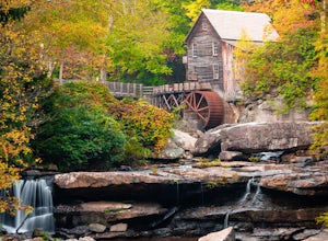
Photograph the Glade Creek Grist Mill
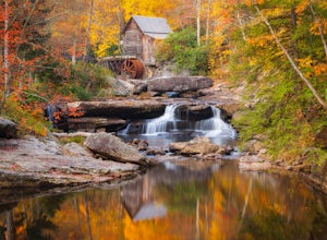
5.0Hidden deep in the Appalachian Mountains near the New River Gorge sits an extremely photogenic grist mill. A recreation of the original mills that dotted West Virginia, Glade Creek Grist Mill was completed in 1976 at Babcock SP. Built fully operational from the parts of 3 other WV mills, it was p...Read more -
Buchanan, Virginia
Hike to Fallingwater Cascades
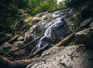
4.5The trailhead for this hike is at the same parking area for the Flat Top Trail. From the Peaks of Otter Visitor Center, travel north up the Blue Ridge Parkway for about 3 miles, where you will come to small parking area. It is quite tiny, and probably holds around 10 vehicles, but there was only ...Read more -
Buchanan, Virginia
Hike Flat Top Mountain
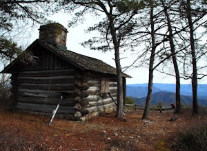
4.5From the Peaks of Otter Visitor Center, travel north up the Blue Ridge Parkway for about 3 miles, where you will come to small parking area for the Flat Top Trailhead. The parking area is quite tiny, and probably holds around 10 vehicles, but there was only one other car there when I went. It's p...Read more -
Danese, West Virginia
Camp at Babcock State Park
5.0Babcock State Park is one of 36 state parks in West Virginia and is located just Southeast of Fayetteville, WV. Babcock State Park has over 4,000 acres, making it a great place to camp while you explore the beautiful area. The campground has 51 campsites for tents and is open from the last week...Read more -
Willis, Virginia
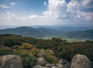
Hike Buffalo Mountain
4.72 mi / 700 ft gainCOVID-19 CLOSURE: Due to Covid-19, this trail will be closed effective April 10, 2020 at 8 PM until June 24, 2020. A short 1.0 mile hike to the summit with 700’ elevation gain, the trail switchbacks steeply up to the exposed rocky summit. To the north you can see Sharp Top and Flat Top at the Pe...Read more -
Buchanan, Virginia
Hike to Apple Orchard Falls
4.05.6 mi / 1000 ft gainThere are a few different ways that you can do this hike. One way is to start at the North Creek campground (37.54244, -79.58531) and do a loop hike that's about 6 miles, which will take you to the falls up along a stream with some swimming holes and nice campsites. I did it the other way, which ...Read more -
Hillsboro, West Virginia
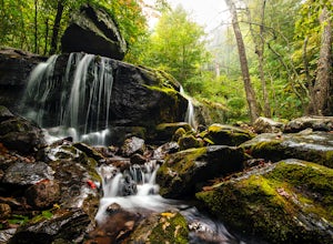
Hike the Falls of Hills Creek, Monongahela NF
5.01.8 mi / 300 ft gainFrom the parking lot, the paved handicap-accessible trail switchbacks to a view of the upper falls (20'). The falls are a bit hard to see from the viewpoint, so it's best to continue down the trail. At the upper falls the trail changes to wooden stairs that descend gradually down. You will cross...Read more

