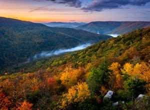
Napier, West Virginia
Top Spots in and near Napier
-
Richwood, West Virginia
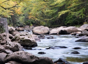
Backcountry Fly Fish on the Cranberry River
The Cranberry Wilderness is one of the largest wilderness areas east of the Mississippi and offers a unique backcountry fly fishing opportunity within West Virginia. One of the best ways to access the Cranberry River to hike, explore, and fish the river is from the Cranberry River Campground. J...Read more -
Marlinton, West Virginia
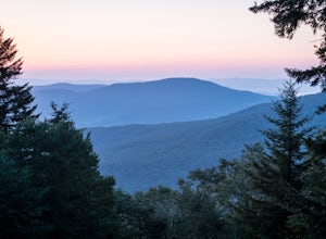
Red Spruce Knob
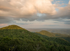
5.01.91 mi / 348 ft gainTo reach Red Spruce Knob trailhead from Marlinton, West Virginia, take HW 219N for about 7 miles then turn left onto HW150. Follow HW150 for about 5 miles, and the parking lot and trailhead will be on the left side of the road. The Red Spruce Knob trail is easy to follow and is well marked with b...Read more -
Marlinton, West Virginia
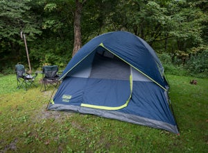
Camp at Day Run Campground
5.0Located in West Virginia’s Monongahela National Forest about half way between Snowshoe and the Cranberry Glades makes this campground an ideal place to set up a base camp while you explore the surrounding area. It is located about five miles from Highland Scenic Highway (HW150), which makes it ju...Read more -
Marlinton, West Virginia
Cranberry Wilderness North South Loop Trail
17.1 mi / 1617 ft gainThe Cranberry Wilderness is lesser known, but if you're looking for a rugged escape, this is it. Be mindful of your water intake, as there are a few stretches upwards of 6-8 miles where there is no access to fresh water. Those areas are well-known in most of the hiking blogs/guides (I'd recommend...Read more -
Summersville, West Virginia
Summersville Lake via Orange Oswald
2.56 mi / 262 ft gainSummersville Lake via Orange Oswald is an out-and-back trail near Summersville, West Virginia. Along the route you'll be following closely to the Gauley River and will get views of the both the river and Summersville Lake. This is a good trail if you're looking to stretch your legs and get a quic...Read more -
Hillsboro, West Virginia
Williams River Overlook
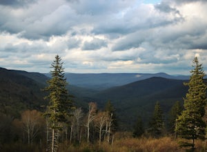
This scenic overlook is along the Highland Scenic Highway. The highway runs through the Monongahela National Forest. The overlook has an amazing view and is a great area to explore. There are two trails that lead off from the overlook and they have a gorgeous spruce forests.Read more -
Hillsboro, West Virginia
Walk Around the Cranberry Glades, Monongahela NF
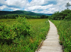
4.80.6 mi / 0 ft gainFrom the parking lot, the boardwalk trail breaks off of the right side of the lot. The boardwalk loop should be done in a clockwise direction and there are signs to direct you. The 1/2 mile boardwalk offers great views of the surrounding bog and mountains. The boardwalk itself is skirted by fe...Read more -
Hillsboro, West Virginia
Hike the Falls of Hills Creek, Monongahela NF
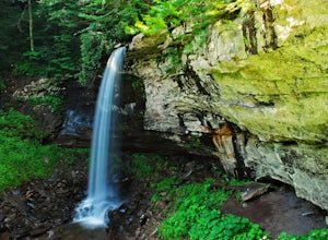
5.01.8 mi / 300 ft gainFrom the parking lot, the paved handicap-accessible trail switchbacks to a view of the upper falls (20'). The falls are a bit hard to see from the viewpoint, so it's best to continue down the trail. At the upper falls the trail changes to wooden stairs that descend gradually down. You will cross...Read more -
Hillsboro, West Virginia
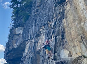
Hike High Rocks
5.03.1 mi / 376 ft gainTo reach High Rocks trailhead, drive about 3.3 miles along West Virginia’s Highland Scenic Highway (HW150) from Cranberry Mountain Nature Center. The parking lot and trailhead will be on the right side of the road. The High Rocks trail is 3.1 miles out and back and is fairly flat as it follows a ...Read more -
Elkins, West Virginia
Hike to High Falls in Monongahela National Forest
5.08.2 mi / 1440 ft gainThough this beautiful hike is a serious workout, it's actually quite easy to follow. It's also listed on Google Maps - I'd highly recommend downloading the map offline just in case something happens. Starting at the trailhead (park at a pull-off along the gravel road just a few hundred feet befor...Read more -
Fairmont, West Virginia
Valley Falls via Rocky and Rhododendron Trail
3.82 mi / 738 ft gainValley Falls via Rocky and Rhododendron Trail is a loop trail that takes you by a waterfall located near Fairmont, West Virginia.Read more -
Fairmont, West Virginia
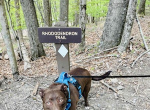
Rhododendron Trail and Rocky Trail Loop
4.33.82 mi / 738 ft gainA former lumber and gristmill community, Valley Falls State Park offers one of the most accessible--and massive--waterfalls in WV. Just a few dozen yards from the parking lot, you'll find the park's namesake (and probably a lot of people, engagement photoshoots, and just general mayhem). But if y...Read more
Top Activities
Camping and Lodging in Napier
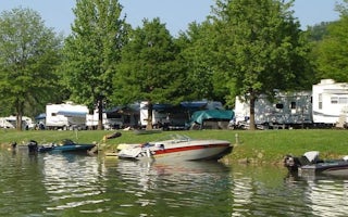
Napier, West Virginia
Bulltown Camp
Overview
Head to Bulltown Campground to experience the scenery and historic significance of this central West Virginia region. The large ...

Sutton, West Virginia
Flatwoods KOA Journey
This KOA is close to the interstate exit, yet a world away. The campground is perfect for an easy-in/easy-out overnight stay. Or extend y...

Sutton, West Virginia
Gerald Freeman Campground
Overview
Gerald Freeman Camp is nestled in the headwaters of Sutton Lake in central West Virginia, 70 miles north of Charleston.
The ar...
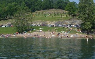
Sutton, West Virginia
Sutton Lake Picnic Shelters
Overview
Sutton Lake Picnic Shelters overlook Sutton Lake and the Elk River in central West Virginia, 70 miles north of Charleston and 60...
Summersville, West Virginia
Battle Run
Overview
Battle Run Campground is conveniently located just south of Summersville, West Virginia, on the shores of the largest lake in th...
Elkins, West Virginia
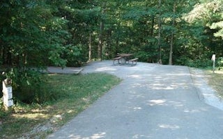
Stuart Recreation Area
Overview
Stuart Recreation Area is set in a mixed forest along the banks of the Shavers Fork River. The river provides excellent fishing ...

