Mathias, West Virginia
Top Spots in and near Mathias
-
Davis, West Virginia
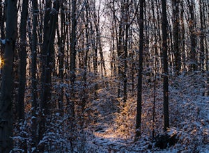
Camp at Red Creek Campground
5.0Beginning your hikes from the Red Creek Campground gives you plenty of good options. For day hikers there is parking at the signed trailheads and for those who want to call the Campground home for a few days the campsites are nice and spaced out so you don't feel like you're sharing your tent spa...Read more -
Johnny's Road, Virginia
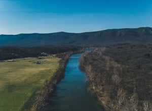
Camp along the South Fork Shenandoah River
3.0From Luray, follow Bixler's Ferry Road until you cross the river. The road will then T, go to the right along South Page Valley Road. Follow this road for about 6.5 miles until you pass Shenandoah River Outfitters. Shortly after this it will turn into a gravel road. Drive along the gravel road fo...Read more -
Davis, West Virginia
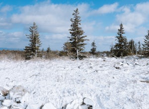
Snowshoe or Cross-Country Ski Dolly Sods
8 mi / 1400 ft gainFrom January to April, the forest roads that provide vehicle access to the Dolly Sods Wilderness in West Virginia are closed. If you're up for a cold weather adventure, park your car (in accordance with the signage and without blocking the road) and hike up the Forest Road 75 near Davis, WV, to B...Read more -
Davis, West Virginia
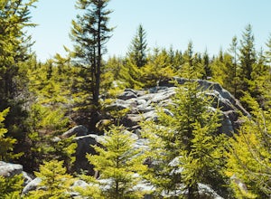
Bear Rocks and Beaver Dam Loop
6.36 mi / 699 ft gainStarting on Bear Rocks Trail, hike down to the Red Creek. Sometimes water levels can be high, but most of the time you can cross the creek without getting any deeper than your knees. Link up with the Raven Ridge Trail and head south. Enjoy the views through this section, as it's a great place to ...Read more -
Maysville, West Virginia
Lions Head Loop
5.020.35 mi / 2195 ft gainWhat used to be an artillery testing site during WWII, Dolly Sods is a great place for backpackers of almost any expertise. Water is easily found throughout the wilderness area and while 21 miles might feel like a lot, it is very manageable over the course of 3 days. Attached (at the bottom) is...Read more -
Davis, West Virginia
Bear Rocks Loop
4.710.54 mi / 1293 ft gainThis particular hike is great as there are multiple camping sites, both established and backcountry, and views for miles around almost every bend. Still not convinced? This high-altitude plateau has characteristics typically found in Canadian landscapes. so you can travel north without leaving y...Read more -
Maysville, West Virginia
Dolly Sods North Loop via Bear Rocks
5.011.69 mi / 1171 ft gainArguably one of the most beautiful hiking areas on the United States' east coast, the Dolly Sods Wilderness inarguably has the most unique trailhead warning sign: Watch out for unexploded ordinance in the area. (The U.S. Army used the area for artillery and mortar training during WWII.) Don't fre...Read more -
Davis, West Virginia
Photograph Bear Rocks Preserve
5.0The Bear Rocks Preserve is a 477 acre land tract maintained and supported by The Nature Conservancy. Offering a diverse range of plant species more commonly seen in the Northeast, visitors will find blueberries, huckleberries, mountain laurel, azalea, and rhododendron among the sandstone outcrop...Read more -
Davis, West Virginia
Hike to Rohrbaugh Cliffs in Dolly Sods
5 miRohrbaugh Cliffs is the social name given to the expansive views found along the Rohrbaugh Plains Trail. This easy hike in the Dolly Sods Wilderness will take you to one of the best overlooks in the area. For a longer or more challenging hike, connect this trail with one of the many others in t...Read more -
Seneca Rocks, West Virginia
Seneca Rocks Trail
4.73.12 mi / 784 ft gainSeneca Rocks is probably one of the best known landmarks in West Virginia. This iconic formation sits 900 feet above the North Fork River. I highly recommend anyone interested in taking a trip to West Virginia take some time to visit Seneca Rocks. These rock formations are really an amazing site....Read more -
Seneca Rocks, West Virginia
Camp at Yokum's Vacationland
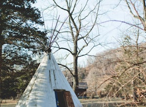
With warm weather, we couldn't wait to go camping so we drove a few miles south of us to Yokum's Vacationland to camp in a teepee. It was THE BEST! It was so cold and we forgot our air mattress pump so we ended up car camping but the whole adventure was so awesome. We were the only people camping...Read more -
Seneca Rocks, West Virginia
Climb Seneca Rocks
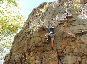
5.02.6 mi / 700 ft gainPark at the Seneca Rocks visitor parking spot located just off Mountaineer Drive. Take the trail directly across from the lot, cross the bridge over the stream, and follow the trail about one mile until you see a rock stair trail on your left side (Seneca Rocks side). Follow this rock stair trail...Read more -
Bentonville, Virginia
Hike the Shenandoah River State Park Loop
5.08 mi / 650 ft gainShenandoah River State Park is located in the heart of the Shenandoah Valley. The park is full of well-maintained trails great for hiking and mountain biking. The trails both parallel the banks of the river as it snakes through the Shenandoah Valley and through the rolling hills, which provides...Read more -
Davis, West Virginia
Dolly Sods Wilderness North Loop via Rocky Ridge Trail
5.012.78 mi / 1378 ft gainThe hike begins at the "Dolly Sods Trailhead Parking" location easily found on Google Maps. The lot is big enough for about 6-8 vehicles. Begin walking at the end of the gravel parking lot/road for about 0.5 miles until you enter the Dolly Sods Wilderness Area in a small grassy field where sever...Read more -
Luray, Virginia
Hike Around Lake Arrowhead Recreation Park
5.01 mi / 10 ft gainA few miles east of the town of Luray and just a couple miles outside of the Thorton Gap entrance to Shenandoah National Park sits Lake Arrowhead Recreation Park. This small lake and park features fishing, swimming, picnic areas, and other recreational park type of activities. Use of the faciliti...Read more -
Rileyville, Virginia
Backpack Jeremy's Run Trail, Shenandoah NP
3.310 miThis hike is best done as a two-day, one-night backpacking trip, however it can be done as a day hike if you don't wish to backpack.Jeremy’s Run is a beautifully forested 10 mile roundtrip hike with numerous stream-crossing. The trailhead starts at the Elkwallow Picnic area, at about mile 24 of S...Read more

