Hinton, West Virginia
Looking for the best photography in Hinton? We've got you covered with the top trails, trips, hiking, backpacking, camping and more around Hinton. The detailed guides, photos, and reviews are all submitted by the Outbound community.
Top Photography Spots in and near Hinton
-
Fayetteville, West Virginia
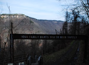
Hike the Kaymoor Miners Trail
5.02 mi / 900 ft gainKaymoor was on old West Virginia coal mining town that thrived in the early 1900's until it was abandoned in the 1950's. Along this trail you will see remnants of the old mine entrance, mining cars, a coal processing plant, and coke ovens, among other structures. This trail, although short, is qu...Read more -
Fayetteville, West Virginia
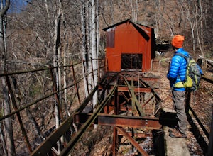
Hike to the Nuttallburg Headhouse
1.4 mi / 400 ft gainFrom Lansing-Edmond road, turn right onto Beauty Mountain Road. Go for 0.1 miles and the road will appear to split into three roads. The main road goes left, but take the middle road here. After another 0.1 miles you will arrive at a gate with a few parking spaces on the left side. Do not block t...Read more -
Edmond, West Virginia
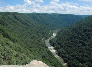
Hike the Endless Wall Trail
4.72 mi / 260 ft gainFrom the Fern Creek Trailhead this is a 2.0 mile out and back hike to Diamond Point. The trail is relatively flat with minimal elevation gain and has a bridge stream crossing. When you arrive at the sign stating "Climber's Access", take a short side trip here to see the views of the gorge. Contin...Read more -
Newport, Virginia
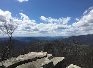
Hike the War Spur Loop
3.52.7 mi / 300 ft gainThis is an awesome hike to do with limited time. It only took about 2 hours total with time to chill at the overlook. There's a map at the beginning of the trailhead which also shows how to connect over to the Appalachian Trail via the War Spur Connector Trail if you have more time in your day.F...Read more -
Pembroke, Virginia
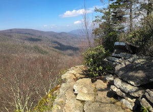
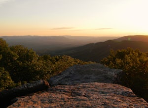
Bald Knob Trail
4.80.93 mi / 387 ft gainUnobstructed views with little hiking effort make Bald Knob one of the best locations to see the sunset in southwestern Virginia. Easy to access from US-460 in Giles County, take Mountain Lake Road (VA-700) for 7 miles and park in the gravel lot on the left by the intersection of VA-613 and Moun...Read more -
Craig County, Virginia
Hike to Kelly's Knob via the Appalachian Trail
4.34 mi / 500 ft gainThis is a great day hike for families or groups looking to get out for a short hike on the Appalachian Trail in Jefferson National Forest.From 460W Take Blue Grass Trail Rd then a left onto Clover Hollow Rd/State Route 601. Continue on this for 6.7 miles until you reaches an intersection with the...Read more -
Newport, Virginia
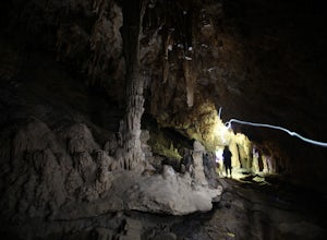
Hike through the New River Cave
4.72 mi / 332 ft gainAfter reaching the parking area, cross the road and continue up the trail for about 0.3 miles. At the kiosk, make sure to register in order to indicate that you are going into the cave. After passing the kiosk and some rocky portions of the trail, you will approach the cave entrance. The cave goe...Read more -
Newport, Virginia
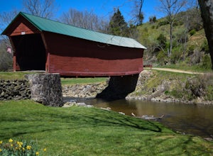
Fish Sinking Creek at Clover Hollow Queens Truss Bridge
5.0Park alongside of the road at the bridge where 2-3 cars can fit. From here you can fish in Sinking Creek with a great view of this historic landmark. The majority of fish are native brook's and can be caught on a smaller 4-5 wt rod using dry flies.The covered bridge was built in 1916 and spans 70...Read more -
Ansted, West Virginia
Turkey Creek Falls in Hawks Nest SP
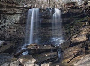
0.99 mi / 26 ft gainPark in the boat ramp lot by Hawks Nest Lake. Note that the road to get down to this parking lot is a one lane (two-way traffic) steep gravel road, but it is passable with low-clearance vehicles. From the parking area take the path towards the Hawks Nest Dam, also labeled the "Fisherman's Trail...Read more -
Ansted, West Virginia
Watch a Sunrise at Hawks Nest Overlook
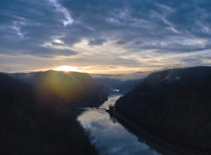
5.0Hawk's Nest State Park is a true gem in the New River Gorge area. It has a roadside overlook that looks out over a horseshoe bend of the New River with views of the Hawk's Nest Dam and of a railroad bridge across the river. From the parking area, simply walk about 200 feet out to the stone overlo...Read more -
Pearisburg, Virginia
Photograph Dismal Falls
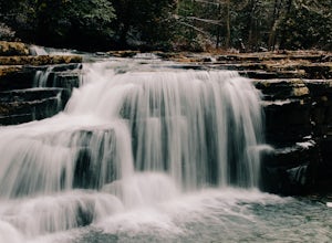
4.50.1 mi / 0 ft gainExplorers in Southwest Virginia run into a common problem: local hikes and waterfalls are often saturated with college students out enjoying a warm day. While it's wonderful to have so many people appreciating the beauty of the Jefferson National Forest, it can be difficult to find a remote, quie...Read more -
Newport, Virginia
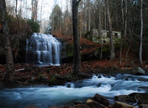
Photograph Sinking Creek Falls
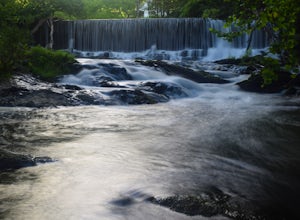
5.0Park at the Clover Hollow Covered Bridge, and walk or bike 1/3 mile along Clover Hollow Rd in the direction of Blue Grass Trail Rd or to the pin dropped in the location below.When you can see the waterfall, carefully walk down the bank where you'll have perfect angles of the waterfall and surrou...Read more -
Ansted, West Virginia
Hike the Hawks Nest Rail Trail
4.33.6 mi / 200 ft gainYou can start walking on this well-graded rail trail either from Ansted or down by the New River at the Hawk's Nest Nature Center. If you start from the top you will lose a couple hundred feet in elevation and have to walk back up to your car (it is an easy walk though). Bikes are also allowed on...Read more -
Blacksburg, Virginia
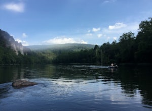
Float New River
5.0Starting at the "falls" below the New River Junction you can enjoy a three day float trip down to Bluff City near Pearisburg. [Tangent Outfitters in Pembroke can rent you kayaks and shuttle you to the start point and pick you up at the end point if you don't have 2 vehicles to leave] Trip can be ...Read more -
Newport, Virginia
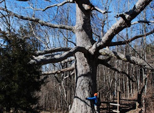
Hike to the Keffer Oak on the Appalachian Trail
4.32.6 mi / 600 ft gainYou can park your car at the small gravel lot where VA-42 and Rt. 629 intersect. Starting from the Appalachian Trail crossing at VA-42, head north on the AT, which winds through some grass meadows. After about 0.8 miles into the hike you will cross Rt. 630 (Northside Road) on a bridge over Sinki...Read more -
Blacksburg, Virginia
Take a Stroll around Pandapas Pond
4.51 miGreat for walking or jogging. There are nice views of the pond and there are also other little areas like one dedicated to horticulture. Fishing is also possible (with a license). Parking is very easy here!Read more

