Circleville, West Virginia
Top Spots in and near Circleville
-
Orkney Springs, Virginia
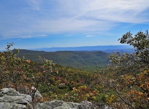
There are two parking spots for this trail. Park at the lower lot if the gate is closed, if the gate is open, continue up the road for another mile until you reach another closed gate. Park here. If the gate is closed you will need to hike a mile up the road to get to the trail head.From the seco...
Read more
-
Quicksburg, Virginia
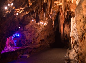
Located west of Washington D.C. off Interstate 81 (exit 269) Shenandoah Caverns is a nice little place tucked away in the Virginia country side. Upon arrival you will be able to park your vehicle for free in the lot right across the street. The building you want to enter is called "The Yellow Bar...
Read more
-
25164 George Washington Highway, West Virginia
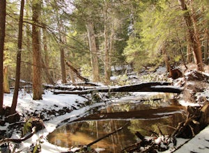
Cathedral Trail is a part of Cathedral State Park located east of Aurora, WV. Cathedral State Park was originally the site of Brookside Resort which attracted visitors from Washington D.C. and Baltimore, MD due to it’s cool clean air and natural beauty. The land was purchased in 1922 by Mr. Brans...
Read more
-
Wardensville, West Virginia
5.0
4.27 mi
/ 997 ft gain
Big Schloss via Wolf Gap Trail is an out-and-back trail that takes you by a river located near Lost City, West Virginia.
Read more
-
Wardensville, West Virginia
5.0
4.2 mi
/ 1000 ft gain
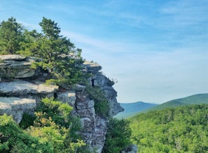
Big Schloss (the German word for “palace”) is a popular hike in the George Washington National Forest. The trailhead is conveniently located at the Wolf Gap Campground. To begin, follow the path behind the restrooms at the parking lot. Cross the paved road where you will find a trail map with ...
Read more
-
Wardensville, West Virginia
5.0
3.17 mi
/ 702 ft gain
Park for free at Wolf Gap Campground and cross the road where you will pass some picnic tables and campsites. Follow the signs to the yellow-blazed Tibbet Knob trail. In half a mile, there is a little path to a summit on your left where you can catch a glimpse of Mill Mountain and Big Schloss. ...
Read more
-
Wardensville, West Virginia
Wolf Gap is a FREE year round campground located just outside of Woodstock, VA. It is a great base camp for several scenic hikes like the Tibbet Knob trail (trailhead is just across the road) and the popular Big Schloss trail (trailhead begins at campsite number 9) -- super convenient if you hav...
Read more
-
Marlinton, West Virginia
Located in West Virginia’s Monongahela National Forest about half way between Snowshoe and the Cranberry Glades makes this campground an ideal place to set up a base camp while you explore the surrounding area. It is located about five miles from Highland Scenic Highway (HW150), which makes it ju...
Read more
-
Stanley, Virginia
Bird Knob trail and aptly-named Emerald Pond are a not-so-well-kept secret worth sharing. Located just two hours away from Washington DC, this hike has everything: bouldering, views, and the perfect swimming hole. Even the drive to reach the hike is scenic and enjoyable with mountain views and f...
Read more
-
Marlinton, West Virginia
The Cranberry Wilderness is lesser known, but if you're looking for a rugged escape, this is it. Be mindful of your water intake, as there are a few stretches upwards of 6-8 miles where there is no access to fresh water. Those areas are well-known in most of the hiking blogs/guides (I'd recommend...
Read more
-
Goshen, Virginia
4.3
5.6 mi
/ 1200 ft gain
The parking for the trailhead is down an unmarked gravel/dirt road about 1.5 miles upriver from the Virginia Wayside rest area on Route 39 West. You'll see the swing bridge out across the river and the road will be immediately after this on your right. The road goes back about 200 yards to the pa...
Read more

