Camp Creek, West Virginia
Looking for the best photography in Camp Creek? We've got you covered with the top trails, trips, hiking, backpacking, camping and more around Camp Creek. The detailed guides, photos, and reviews are all submitted by the Outbound community.
Top Photography Spots in and near Camp Creek
-
Danese, West Virginia
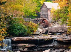
Camp at Babcock State Park
5.0Babcock State Park is one of 36 state parks in West Virginia and is located just Southeast of Fayetteville, WV. Babcock State Park has over 4,000 acres, making it a great place to camp while you explore the beautiful area. The campground has 51 campsites for tents and is open from the last week...Read more -
Newport, Virginia
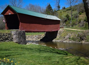
Fish Sinking Creek at Clover Hollow Queens Truss Bridge
5.0Park alongside of the road at the bridge where 2-3 cars can fit. From here you can fish in Sinking Creek with a great view of this historic landmark. The majority of fish are native brook's and can be caught on a smaller 4-5 wt rod using dry flies.The covered bridge was built in 1916 and spans 70...Read more -
Fayetteville, West Virginia
Hike the Long Point Trail
4.83.2 mi / 200 ft gainWith minimal elevation gain, this 3.2 mile hike can be done in a short amount of time. From the parking lot, take the trail to the right of the bathroom. There will be two trail intersections at 0.4 miles and 0.7 miles, both of which are well marked. Stay straight at both intersections to remain ...Read more -
Waiteville, West Virginia
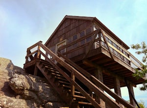
Hanging Rock Raptor Observatory
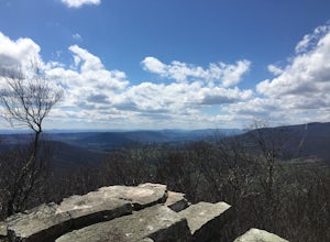
4.81.93 mi / 381 ft gainLocated on Limestone Hill Road north of Waiteville, WV at about 3800 feet above sea level is an old Fire watch tower. The tower, built in 1956 was abandoned in 1972. In 1983 the US Forest Department acquired this area as part of the Jefferson National Forest. Since then the Tower has become know...Read more -
Newport, Virginia
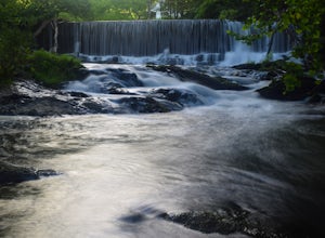
Photograph Sinking Creek Falls
5.0Park at the Clover Hollow Covered Bridge, and walk or bike 1/3 mile along Clover Hollow Rd in the direction of Blue Grass Trail Rd or to the pin dropped in the location below.When you can see the waterfall, carefully walk down the bank where you'll have perfect angles of the waterfall and surrou...Read more -
Fayetteville, West Virginia
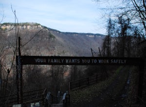
Hike the Kaymoor Miners Trail
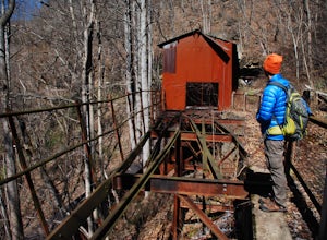
5.02 mi / 900 ft gainKaymoor was on old West Virginia coal mining town that thrived in the early 1900's until it was abandoned in the 1950's. Along this trail you will see remnants of the old mine entrance, mining cars, a coal processing plant, and coke ovens, among other structures. This trail, although short, is qu...Read more -
Edmond, West Virginia
Beauty Mountain Trail
5.01.1 mi / 279 ft gainThe Beauty Mountain Trail Head is located less than 10 miles form Fayetteville, WV. To reach the trail head, you will have to travel down some very narrow roads, and I recommend going old school and printing out the directions because cell service in the area is not the best. Once at the trail ...Read more -
Fayetteville, West Virginia
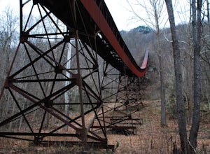
Hike Around the Trails of Nuttallburg
5.03 mi / 200 ft gain**The road to Nuttallburg is part gravel and only wide enough for one car. Take caution driving along this road-you may have to back up some if you meet another car. Nuttallburg is an old coal mining town that once thrived in the early 1900's, but fell into ruin and then was restored by the Natio...Read more -
Craig County, Virginia
Hike to Kelly's Knob via the Appalachian Trail
4.34 mi / 500 ft gainThis is a great day hike for families or groups looking to get out for a short hike on the Appalachian Trail in Jefferson National Forest.From 460W Take Blue Grass Trail Rd then a left onto Clover Hollow Rd/State Route 601. Continue on this for 6.7 miles until you reaches an intersection with the...Read more -
Fayetteville, West Virginia
Hike to the Nuttallburg Headhouse
1.4 mi / 400 ft gainFrom Lansing-Edmond road, turn right onto Beauty Mountain Road. Go for 0.1 miles and the road will appear to split into three roads. The main road goes left, but take the middle road here. After another 0.1 miles you will arrive at a gate with a few parking spaces on the left side. Do not block t...Read more -
Edmond, West Virginia
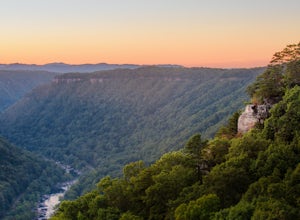
Hike the Endless Wall Trail
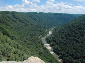
4.72 mi / 260 ft gainFrom the Fern Creek Trailhead this is a 2.0 mile out and back hike to Diamond Point. The trail is relatively flat with minimal elevation gain and has a bridge stream crossing. When you arrive at the sign stating "Climber's Access", take a short side trip here to see the views of the gorge. Contin...Read more -
Blacksburg, Virginia
Take a Stroll around Pandapas Pond
4.51 miGreat for walking or jogging. There are nice views of the pond and there are also other little areas like one dedicated to horticulture. Fishing is also possible (with a license). Parking is very easy here!Read more -
Draper, Virginia
Bike the New River Trail
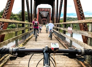
5.057 miThere are several locations to begin your trek on the New River Trail, but our favorite is the Draper Valley area. The pin on the map will take you right to the parking lot. There is a $5 state park fee and a self-pay envelope station. From here we head south, and after about a mile you catch you...Read more -
Newport, Virginia
Hike to the Keffer Oak on the Appalachian Trail
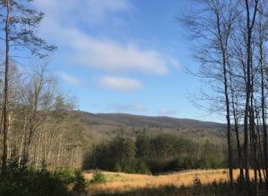
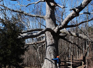
4.32.6 mi / 600 ft gainYou can park your car at the small gravel lot where VA-42 and Rt. 629 intersect. Starting from the Appalachian Trail crossing at VA-42, head north on the AT, which winds through some grass meadows. After about 0.8 miles into the hike you will cross Rt. 630 (Northside Road) on a bridge over Sinki...Read more -
Dublin, Virginia
Camp at Claytor Lake State Park
4.0Claytor Lake is a very well maintained state park in Dublin, VA. There are four campgrounds available. Campgrounds A, B and C are mostly for tent camping with no electric or water hookups, while campground D accommodates RV units with water and electric hookups.Claytor Lake is idea for families l...Read more -
Wytheville, Virginia
Hike the High Rock Trail
3.02.7 mi / 636 ft gainThe hike to High Rocks begins at a gravel parking lot up a long winding road, seems like forever but really is only mile or two past the quarry when your turn onto the road. The out-and-back hike begins by passing through the two large boulders near the back of the parking lot. The trail leads d...Read more

