Brandywine, West Virginia
Looking for the best photography in Brandywine? We've got you covered with the top trails, trips, hiking, backpacking, camping and more around Brandywine. The detailed guides, photos, and reviews are all submitted by the Outbound community.
Top Photography Spots in and near Brandywine
-
Quicksburg, Virginia
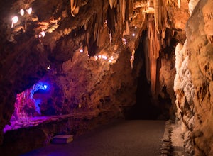
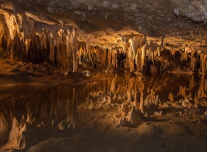
Explore the Shenandoah Caverns
4.5Located west of Washington D.C. off Interstate 81 (exit 269) Shenandoah Caverns is a nice little place tucked away in the Virginia country side. Upon arrival you will be able to park your vehicle for free in the lot right across the street. The building you want to enter is called "The Yellow Bar...Read more -
Parsons, West Virginia
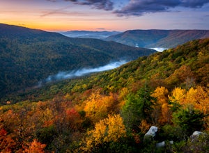
Hike Table Rock
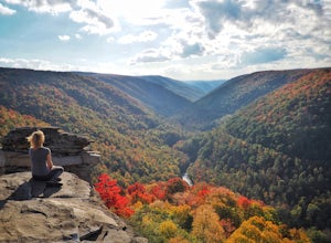
4.71.2 mi / 200 ft gainThis hidden gem is located near Lindy Point and Blackwater Falls State Park. Unlike Lindy Point, which is very popular, hikers are usually able to enjoy the views from Table Rock all by themselves. The Table Rock trail head is located off of Canaan Loop Rd. I highly recommend driving to the tr...Read more -
Davis, West Virginia
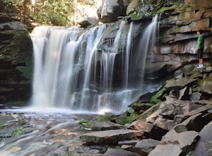
Explore Elakala Falls
3.00.4 mi / 130 ft gainStarting at the Blackwater Falls Lodge, head to the left side of the parking lot, where a trailhead becomes visible. Follow the clearly marked trail down until you reach a bridge which goes over the top of the falls. After the bridge, look for paths to allow you to get to the river level and the ...Read more -
Davis, West Virginia
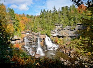
Photograph Blackwater Falls
4.7Blackwater Falls State Park is a lesser known state park in northern West Virginia. The waterfall is easily accessible. From the parking area go to the back of the horseshoe (the parking area is shaped like a horseshoe) and follow the path and steps down into the gorge. If you're planning on visi...Read more -
Thomas, West Virginia
Hike to Lindy Point in Blackwater Falls State Park
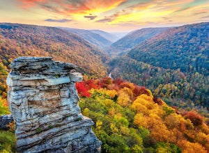
4.80.83 mi / 59 ft gainIf you go to Blackwater Falls State Park for the falls, stay for the overlooks. This one, the most popular in the park, overlooks Blackwater Canyon from 3,000 feet above. Although the parking area at the trailhead is small with room for only 4-5 cars, you can also park along the road or at the ...Read more -
Davis, West Virginia
Camp at Blackwater Falls State Park
5.0Blackwater Falls State Park is one of 36 state parks in West Virginia and is located just north of the Canaan Valley less than two miles from Davis, WV. Blackwater Falls State Park has over 2,000 acres, making it a great place to camp while you explore the beautiful area. The campground has 65 ...Read more -
Davis, West Virginia
Take in the View at Pendleton Point Overlook in Blackwater Falls SP
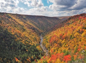
4.5Pendleton Point Overlook in Blackwater Falls State Park provides visitors with expansive views of Blackwater Canyon. The overlook is easily accessed via a short walk from the parking area and marks the widest and deepest point of the canyon. The wooden platform has tower viewers so visitors can...Read more -
Wardensville, West Virginia
Tibbet Knob via Wolf Gap
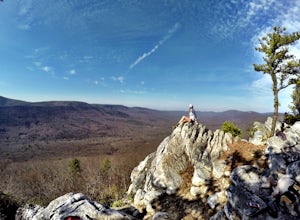
5.03.17 mi / 702 ft gainPark for free at Wolf Gap Campground and cross the road where you will pass some picnic tables and campsites. Follow the signs to the yellow-blazed Tibbet Knob trail. In half a mile, there is a little path to a summit on your left where you can catch a glimpse of Mill Mountain and Big Schloss. ...Read more -
Appalachian Trail, Virginia
Blackrock Summit, Shenandoah NP
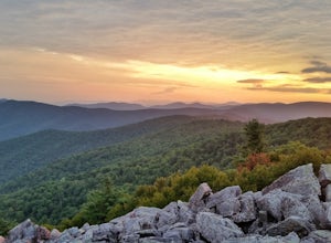
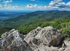
4.71.11 mi / 253 ft gainThere are two route options, both are under 2 miles and are suitable for hikers of all experience levels. The shortest option, a 1-mile circuit, follows the Appalachian Trail from the Blackrock Summit parking area, which is just north of mile marker 85 on Skyline Drive. With only 175-feet of ele...Read more -
Free Union, Virginia
Photograph Brown Mountain Overlook
At mile post 77 off of Skyline Drive, Brown Mountain Overlook offers photographers a western view of the Blue Ridge Mountains, Shenandoah National Park, and the Shenandoah Valley. At 2,840 feet, Brown Mountain Overlook is one of 72 beautiful overlooks that are on Skyline Drive located in the nort...Read more -
Crozet, Virginia
Hike to Doyles Falls
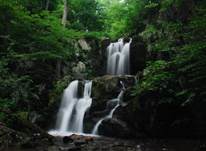
4.93.2 mi / 1190 ft gainFrom the parking lot at MP 81.1 on the Skyline Drive, take the trailhead to the left of the sign with the trail map. Immediately you'll cross over the Appalachian Trail-stay straight on the blue-blazed trail to Doyles Falls. The trail will descend rapidly for 1.3 miles to Upper Doyles Falls (28' ...Read more -
Free Union, Virginia
Hike Frazier Discovery Trail
5.01.3 mi / 950 ft gainThere are two ways to the summit: the first is a 1.3 mile loop that starts at the Loft Mountain Wayside parking lot at mile marker 79.5 off of Skyline Drive in the southern district of Shenandoah National Park. The second way is a 3.7 mile hike out and back from the Loft Mountain Campground, but...Read more -
Grottoes, Virginia
Photograph Moormans River Overlook
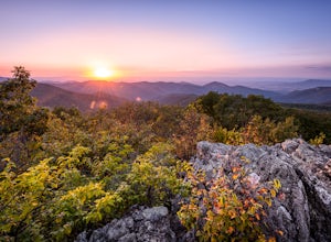
5.0Moormans River Overlook is one of the few eastern facing overlooks in Shenandoah National Park’s Southern District, which makes this a prime location for watching the sun rise when in this part of the park. At mile post 92 off of Skyline Drive, Moormans River Overlook offers photographers a 180 ...Read more -
Luray, Virginia
Explore the Luray Caverns
4.8The caverns are located in the town of Luray, which is in the Shenandoah Valley of northwest Virginia. They can only be explored by tour, and at first I was hesitant to pay the $26 entrance fee, but after an hour-long tour that blew my mind, I had absolutely no regrets. The tour includes about 30...Read more -
Crozet, Virginia
Hike Turk Mountain
4.02.2 mi / 700 ft gainFrom the parking area at Turk Gap (MP 94.1), cross over the Skyline Drive. The Appalachian Trail (AT) intersects right here, and take the AT south by taking the trail on the left. After 0.2 miles you will turn right off of the AT onto the blue-blazed Turk Mountain Trail. The trail junctions me...Read more -
Crozet, Virginia
Hike Moorman's River
4.52.5 miAlong the hike, there are four "official" swimming holes to jump in, but you can make your own at any time. Go in the springtime for a great waterfall at the end the feeds into a swimming hole, and in the fall for a wonderland of foliage. The official name of this hike is Moorman's River, but an...Read more

