Woodland, Washington
Top Spots in and near Woodland
-
West Linn, Oregon
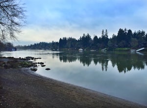
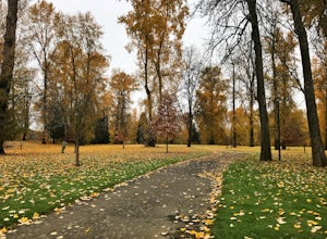
Run Old River Road to George Rogers Park
5.04.8 mi / 100 ft gainPortland and its surrounding suburbs are filled with trails and hidden treasures, including this stretch along the Willamette River. This road is a super popular pedestrian path and can be accessed from West Linn, the Mary's Woods and Marylhurst Development, or from Lake Oswego off of Highway 43....Read more -
Cougar, Washington
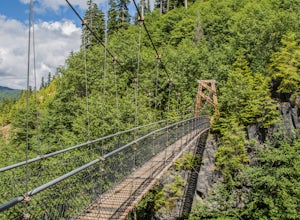
Hike the Lava Canyon
3.06.5 miStarting at the Lava Canyon Trailhead, you will walk on a paved trail down a few switchbacks until you reach the river, where you can go right or left. Either way takes you to the suspension bridge, but I recommend going right if you are following this guide. It will make more sense in a moment.A...Read more -
Corbett, Oregon
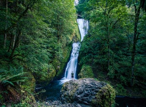
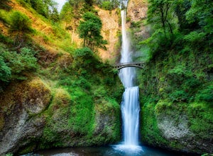
Bridal Veil Falls
4.10.54 mi / 144 ft gainThe trailhead for this short hike is right off of the Columbia River Highway just west of Multnomah Falls. You can't miss the parking lot for it; there is a sign for Bridal Veil and the parking lot is visible from the road. The hike is only 0.6 miles and has hardly any elevation gain (70 feet). ...Read more -
Bridal Veil, Oregon
Angel's Rest
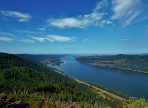
4.34.45 mi / 1568 ft gainThe Columbia River Gorge is absolutely full of incredible hikes - that said, this is one of the best and requires less time and energy than some of the others. Starting at a paved parking lot right off the Historic Columbia River Gorge Highway (note: it's a very popular trail so arrive early or ...Read more -
Bridal Veil, Oregon
Devil's Rest-Wahkeena Falls Loop
4.09.82 mi / 2779 ft gainThis loop takes advantage of the western Columbia River Gorge's vast network of trails - hidden behind the roadside waterfalls - to allow you to visit several popular attractions without fighting traffic along the historic highway. All told, the loop hits 3 named waterfalls (Coopey Falls, Fairy F...Read more -
Skamania County, Washington
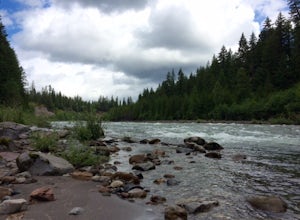
Fly Fish Lewis River, Cougar, WA
2.0An 1.5 hour drive NE from Vancouver, WA this section of the Lewis River makes for a perfect day fishing trip. Heading North on I-5 for approximately 20 miles take the Woodland / HWY 503 exit East and head towards Mt St. Helens. You'll follow the Lewis River along Hwy 503 (Lewis River Road) the ...Read more -
Corbett, Oregon
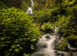
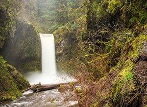
Wahkeena Falls
4.00.48 mi / 427 ft gainThis Waterfall is located along the Colombia River Gorge and is surrounded by many other, much more trafficked waterfalls so it gets a lot fewer visitors. This is a beautiful spot to relax at, take photos, and get away from some of the crowds. The bottom of the falls end right at the parking lot ...Read more -
Corbett, Oregon
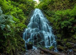
Fairy Falls
4.82.02 mi / 1293 ft gainFairy Falls sits in the heart of the Columbia River Gorge, not much more than a mile from the Wahkeena Trailhead. The parking lot is right off the Old Columbia River Highway and will be packed with cars in the summer. Head up the trail towards Wahkeena Falls, which is not far up the hill. This f...Read more -
Gladstone, Oregon
Run the Clackamette Park Loop
1.2 mi / 10 ft gainClackamette Park is known for its prime destination right off of the freeway and across from Oregon City's most popular shopping area, but it's frequented for its public boat dock, RV facilities, and handicap-accessible picnic benches. While the rest of Portland's parks freeze over or flood, Clac...Read more -
Cascade Locks, Oregon
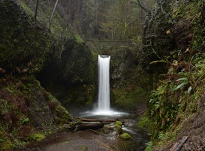
Wiesendanger Falls
3.02 mi / 1591 ft gainYou can get on the trail in about 45 minutes from Portland and 35 minutes from Hood River via I-84. Once you get out of your car in the Multnomah Falls parking lot, head over to the historic Multnomah Falls Lodge. This is a neat place to check out after your hike. Then, follow the crowds to the ...Read more -
Multnomah County, Oregon
Multnomah Falls
4.22.61 mi / 1214 ft gainMultnomah Falls is worth a quick stop anytime you're visiting the Columbia River Gorge National Scenic Area in Oregon. This waterfall is the tallest in Oregon at 620 feet and the third largest in the Pacific Northwest behind Bridal Veil Falls (1,289 feet) and Green Lake Falls (979 feet) and has a...Read more -
Cascade Locks, Oregon
Multnomah-Wahkeena Loop
4.35.11 mi / 2162 ft gainThe Multnomah-Wahkeena loop is a classic hike in the Columbia Gorge. Few hikes take you by as many waterfalls, and the tree cover makes it a great hike in the rain. Starting at the Multnomah Falls Parking Area, head to the main viewing area of Multnomah Falls. If you get there early in the morn...Read more -
Cascade Locks, Oregon
Larch Mountain's Summit
4.013.28 mi / 4629 ft gainDone as a loop or one way shuttle (in summer/fall), the full Larch Mountain experience starts at the large (but still always full) Multnomah Falls parking lot. There you'll have the chance to grab a final snack, use the restroom, and fill water bottles before joining all the "tourist" hikers on t...Read more -
Gaston, Oregon
University Falls
4.00.61 mi / 138 ft gainThe 0.3 mile hike to University Falls seems longer than it is because you'll be stopping to take pictures every step of the way. No, you're not in an enchanted forest, you're in the Tillamook National Forest. The waterfall you're about to find, however, certainly is enchanting. From Portland, he...Read more -
Corbett, Oregon
Hike to Upper Bridal Veil Falls
5.00.5 miAt the parking lot for Angel's Rest, turn left uphill on to Palmer Mill Road. Drive for about a mile, and park right past a tributary stream/small waterfall (pictured above) on your left that flows through a small pipe under the road. You will see a small space to park on the right. Park here and...Read more -
Carson, Washington
Steep Creek Falls
5.0Steep Creek Falls is located about 5 miles from the small town of Stevenson. Take Highway 14 one mile west of Stevenson to Rock Creek Drive and turn north, passing the Skamania Lodge and Resort. Turn left onto Ryan Allen Road and follow it for about a mile, then turn left onto Red Bluff Road. Fo...Read more

