Woodinville, Washington
Looking for the best backpacking in Woodinville? We've got you covered with the top trails, trips, hiking, backpacking, camping and more around Woodinville. The detailed guides, photos, and reviews are all submitted by the Outbound community.
Top Backpacking Spots in and near Woodinville
-
Gold Bar, Washington
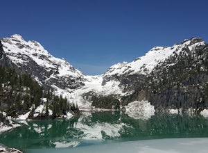
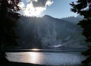
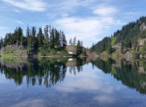
Winter Backpack to Blanca Lake
7.5 mi / 3300 ft gainSince Blanca Lake is a very popular place for folks to explore and with the nice and sunny weekend. I drove out Friday night and slept in my Jeep. Got up at 7:30am when folks first started arriving to the trail head.A couple of things to keep in mind before you start this hike. The 7.5 miles ro...Read more -
Brinnon, Washington
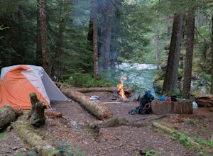
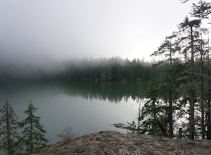
Camp at the Dose Forks
15 mi / 1200 ft gainThe Dose Forks Campground is an overlooked campsite deep within the Olympic National Park, making it a perfect weekend camping destination. A mild, 7.5 mile (one-way) trail delivers you to this enchanting area and is a must for those who love photographing forests. There are no reservation requir...Read more -
Skykomish, Washington
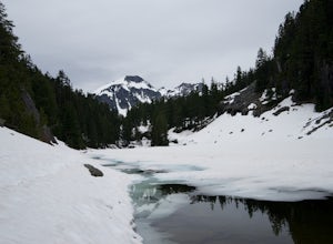
Jade Lake via the Necklace Valley Trail
15.26 mi / 3323 ft gainThis hike is definitely one of our all-time favorites. The first time we did it was in August 2015 and due to the exceptionally mild winter that year, fall was already beginning to show its colors. We wanted to see it again in the springtime when everything was in bloom, so we decided to go again...Read more -
Skykomish, Washington
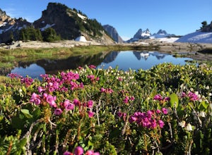
Tank Lakes via Necklace Valley
18.94 mi / 4721 ft gainTucked high in the heart of the Alpine Lakes Wilderness, Tank Lakes has everything you could ask for out of a Washington hike. You start low at the Necklace Valley trailhead just south of Skykomish along Highway 2 and meander five miles to a giant log crossing of the East Fork Foss River. From h...Read more -
Leavenworth, Washington
Evergreen Mountain Lookout
4.52.88 mi / 1522 ft gainThis is a relatively short hike, at only 2.6 miles round trip, that takes you up to the nearly 5600 foot summit. The hike may be short but it is extremely steep, gaining 1300ft in the 1.3 miles to the summit, so be prepared for a good leg workout. On the way to the top you will walk through field...Read more -
Darrington, Washington
Scramble Mount Pugh
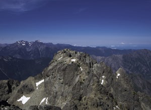
5.011 mi / 5300 ft gainNot for the faint of heart - or those with a fear of heights - Mount Pugh offers some of the most rewarding summit views in the Cascades.Located off the northern end of the Mountain Loop Highway, this is an easy day trip from anywhere in the Puget Sound area. Though finding the trailhead can be t...Read more -
Snoqualmie Pass, Washington
Hike-In and Camp at Alaska Lake
Driving Directions: From Seattle drive east on I-90 to exit 54 (signed "Hyak"). Turn left (north) under the freeway and right on the frontage road marked "Gold Creek." After about 0.5 mile turn left (north) on Gold Creek Road (Forest Road 4832), and in another 0.5 mile reach a junction. To the le...Read more -
Darrington, Washington
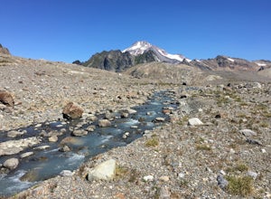
Backpack to Glacier Peak Meadows and White Chuck Glacier
34 mi / 9000 ft gainStarting at the North Fork Sauk Trailhead (NFD 49) off the Mountain Loop Highway, you will travel 5.3 miles and gain a leisurely 1,100 feet of elevation until you reach Mackinaw Shelter. This is where the real work begins. The trail gains a calf-burning 3,000 feet in the next 2.9 miles until you ...Read more -
Darrington, Washington
Climb Sloan Peak via the Corkscrew Route
5.014 mi / 6035 ft gainYou'll start the approach to this climb at the Sloan Peak trailhead at 1800ft elevation. Moving south along the trail, you'll begin with a traverse through some marshlands and several water crossings along the Sauk River and its tributaries for the first mile and before gaining any elevation. It ...Read more -
Snoqualmie Pass, Washington
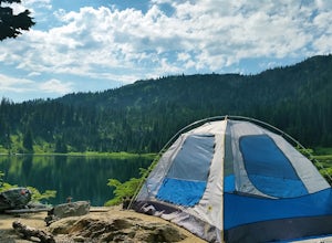
Lillian Lake
5.08.36 mi / 2969 ft gainWe backpacked our way to Lillian Lake and set up camp. There is a trail that lead around the lake and a trail that leads up to Rampart Lakes and Rachael Lake as well. We found a few more camps spots on Lillian Lake, then we noticed that only ONE other camp spot was being used. If you want peace ...Read more -
Mason County, Washington
Climb the Brothers (South Climb)
4.517 mi / 6062 ft gainThe Brothers is a notable peak on the border of Olympic National Park. The dual summits are a distinguishing feature of the Olympic Range, viewed from Seattle. This is a challenging route, testing a climber's route finding skills, physical fitness, and mental fortitude. From the parking lot, you ...Read more -
Mason County, Washington
Lena Lake
4.56.24 mi / 1644 ft gainThe trail climbs gently up and is accessible almost every season, weather permitting. Snowshoes may be needed December-February, so make sure and check with the Hoodsport Ranger Station. Just 45 minutes north of Hoodsport (a darling small town on the shores of Puget Sound), this trailhead has sp...Read more -
Mason County, Washington
Upper Lena Lake
5.012.61 mi / 4239 ft gainThe hike to Upper Lena Lake is a beautiful one. It first takes you past Lena Lake, which is a very popular weekend destination for families. Luckily you're pushing on to Upper Lena Lake that sits in a peaceful alpine meadow with Mt. Lena and Mt. Bretherton towering above. The first part of the t...Read more -
Snoqualmie Pass, Washington
Hike to Rachel Lake
4.88 mi / 1600 ft gainThis hike is 8 miles roundtrip, with 1600 feet of elevation gain. Once you're on the trail, it starts heading uphill to help get your heart rate up on the hike. As you enter the Alpine Lakes Wilderness, the trail starts to level out. You'll cross a few streams and hike through a fair amount of ve...Read more -
Snoqualmie Pass, Washington
Day Hike to Lila Lakes and Alta Pass
4.312 mi / 3000 ft gainGetting There From Seattle, drive Interstate 90 to Exit 62, Signed Kachess Lake/Stampede Pass. Turn left and head north over the interstate; you'll reach Kachess Lake Campground in five miles. Turn left where the pavements ends and drive four miles on Box Canyon Road (FS Road #4930) to the Rachel...Read more -
Snoqualmie Pass, Washington
Take a Hike Up To Rampart Lakes
5.011 mi / 2200 ft gainGetting There: From I-90 East, take exit 62. Take a left, heading over the highway. After 5.2 miles, the road veers left, passing Lake Kachess Campground. Go another 0.3 miles on the gravel road and take a right at a sign for Rachel Lake/Trail 1313. At this point, the road gets a little rough, bu...Read more

