Thorp, Washington
Top Spots in and near Thorp
-
Leavenworth, Washington
Backpack to Lake Caroline in the Enchantments
5.75 mi / 3100 ft gainFrom Leavenworth, WA head down Icicle Creek road and head to the Eightmile Lake Trailhead.The backpack starts at roughly 3270 feet of elevation and the highest point of the hike is 6300 feet. To start you will hike through a very beautiful and forested area for a while before getting into a burn ...Read more -
Leavenworth, Washington
Eightmile Lake
4.06.76 mi / 1496 ft gainBeginning at the trailhead, fill out a self-issued permit allowing you to stay overnight. Start your trek heading upwards at an elevation of 3300 feet. As you become adapted to the trail, you will start to realize it is maintained and well groomed. In addition, The 1300 feet of elevation gained t...Read more -
Leavenworth, Washington
Climb Cashmere Mountain
4.017 mi / 5700 ft gainTo get to Cashmere Mountain, drive east towards Leavenworth on Highway 2 and turn right on Icicle Creek Road. After 8.5 miles, turn left onto Eightmile Road for 3 miles, and park at the Eightmile Lake trailhead. The hike begins at Eightmile Lake Trail. After 2.8 miles, just past Little Eightmile ...Read more -
Easton, Washington
Snowshoe to Amabilis Mountain
9.5 mi / 2100 ft gainTo reach Amabilis Mountain, park at the Cabin Creek Sno Park at Exit 63 off I-90. Take the overpass across the highway to the trailhead and strap on your snowshoes. There's a maze of cross-country ski trails, but you'll want to keep to the right and follow the Berg trail for a quarter mile until ...Read more -
Quincy, Washington
Ancient Lakes Trail
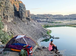
4.74.34 mi / 213 ft gainOn the hunt for a dry, scenic backpack during a weekend of dreary, wet, early September weather in the mountains, we decided to head toward the high desert outside of Quincy, WA. After a short hike in, we found a site seldom seen - waterfalls and lakes in the midst of the desert - an area known a...Read more -
Wenatchee, Washington
Drive Up Burch Mountain
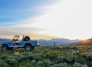
At the north end of the Wenatchee Valley, drive up Burch Mountain Road until it turns into dirt. It is closed in the winter and early spring due to snow, so make sure it's open before you go. Once you start driving, the mountain is your playground. Go all the way up to the trees or stop just h...Read more -
Quincy, Washington
Adventuring in the Frenchman Coulee
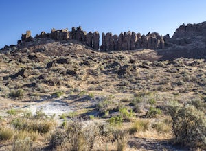
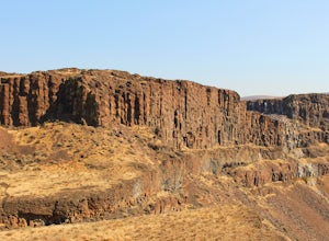
5.0Occupying a cluster of desert canyons and mesas perched atop the cliffs overlooking the eastern bank of the mighty Columbia River, the Frenchman Coulee is a rock climber’s paradise. Featuring dozens of world-class sport and trad routes, both single- and multi-pitch, the climbing around Vantage li...Read more -
Quincy, Washington
Rock Climb 'The Sunshine Wall'
5.00.5 miI had never been outdoor rock climbing before, but when I heard my school was offering a trip out to Vantage, Washington over the weekend I couldn't pass up the opportunity!Vantage, Washington is smack in the middle of Washington's two largest cities, Seattle and Spokane. With its close proximity...Read more -
Quincy, Washington
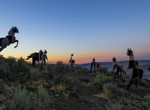
Catch the Sunset at Wild Horse Monument
4.00.4 mi / 150 ft gainIf you're traveling along Hwy 90 in the middle of Washington State, the Wild Horse Monument is a fun and rather quick area to explore. Located 30 miles east of Ellensburg and 60 miles northwest of Yakima, the monument is located just across the Columbia River as you head east. As you drive, there...Read more -
Snoqualmie Pass, Washington
Cooper Lake
The Owhi Campground on Cooper Lake is tucked away in the Okanogan-Wenatchee National Forest near Salmon La Sac. It sits at 2,788 feet and has views of Chikamin Peak (6960') and Lemah Mountain (7480'). The lake is quiet, very photogenic, and easily accessible. The campground is on the north si...Read more -
Snoqualmie Pass, Washington
Spectacle Lake via Pete Lake Trail
5.018.91 mi / 3058 ft gainDepending on when you arrive at the Pete Lake Trailhead, expect to be traveling with company as it is one of the more popular locations on the eastside of Snoqualmie Pass. At an elevation of 2600 feet, the beginning route is a moderate 400 feet of elevation gain. Start on your way through the va...Read more -
Quincy, Washington
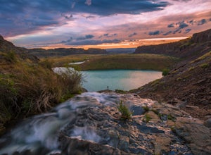
Ancient Lakes via Judith Pool
3.64.44 mi / 558 ft gainAll around you, waterfalls pour over cliffs as you gaze upon colorful lakes. If you're lucky, a coyote scampers by through a patch of wildflowers – it's just another beautiful day in the Ancient Lakes basin, a gem tucked along the Columbia River Gorge in Central Washington. From the parking lot,...Read more -
Leavenworth, Washington
Hike Fourth of July Creek to Icicle Ridge
12 mi / 4800 ft gainMost adventurers travel down Icicle Creek Road to visit Colchuck Lake and the Enchantment Basin. But, if you're looking for an adventure for a cool summer morning without the crowds, continue past the Colchuck/Stuart forest road and explore this trail! Expansive views of the entire Stuart range...Read more -
Snoqualmie Pass, Washington
Chikamin Peak via Mineral Creek Trailhead
15.34 mi / 5771 ft gainThis is a S5 T4 scramble that involves some routefinding past the alpine lakes. We did this as a day trip and we were out and back in about 12 hours. There are multiple routes to get to Chikamin, one from the PCT, which is 24 miles RT and the other is from the Mineral Creek Trailhead (47.4176, -...Read more -
Peshastin, Washington
Hike Sauer’s Mountain
4.06 mi / 2000 ft gainSauer’s Mountain is one of those well defined, moderate, and rewarding hikes that give you just the right amount of views for the effort, but the real treat is catching the wildflower bloom in mid-May. The trailhead is located on private property. Start by parking along the private drive and walk...Read more -
Snoqualmie Pass, Washington
Day Hike to Lila Lakes and Alta Pass
4.312 mi / 3000 ft gainGetting There From Seattle, drive Interstate 90 to Exit 62, Signed Kachess Lake/Stampede Pass. Turn left and head north over the interstate; you'll reach Kachess Lake Campground in five miles. Turn left where the pavements ends and drive four miles on Box Canyon Road (FS Road #4930) to the Rachel...Read more

