Sumas, Washington
Looking for the best photography in Sumas? We've got you covered with the top trails, trips, hiking, backpacking, camping and more around Sumas. The detailed guides, photos, and reviews are all submitted by the Outbound community.
Top Photography Spots in and near Sumas
-
Eastsound, Washington
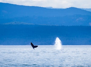
Go Whale Watching from Rosario Harbor
No visit to the San Juan Islands is complete without taking a whale watching tour and Rosario Harbor on Orcas Island is uniquely situation to allow for trips east into the Rosario Straight, south into Lopez Sound, or west into the Haro Straight. Such flexibility is useful when on the looking for ...Read more -
Fraser Valley E, British Columbia
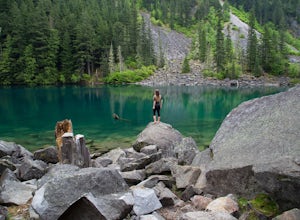
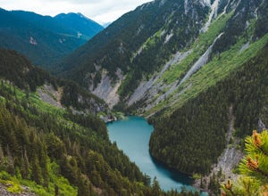
Hike to Lindeman & Greendrop Lakes
4.46.89 mi / 1240 ft gainYou start the trail in a newly created parking lot (outhouses as well). Follow along the trail, and within a short distance from the parking lot you will come to a fork. Take the left trail (right goes to Flora Lake). This part of the trail is fairly flat with some nice scenery. You will follow t...Read more -
Concrete, Washington
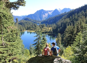
Anderson and Watson Lake
5.68 mi / 1165 ft gainThe drive up to the starting point of the trail to Anderson and Watson Lake was easy, but at the end it gets a little tricky - the service road is sharp gravel and runs for about 10 miles to the trailhead. Some spots are steep and there are large potholes, but slow and steady wins the race. There...Read more -
Olga, Washington
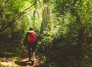
Hike the Sound View Trail
0.4 mi / 50 ft gainObstruction Pass State Park is something of a hidden gem on Orcas Island given that its nearby neighbor, Moran State Park, gets most of the tourist attention. What this means is that you can find solitude and quiet, *and* make a visit to the only publicly owned beach on the island. There are seve...Read more -
Fraser Valley E, British Columbia
Hike to Porcupine Peak
6.8 mi / 4265.1 ft gainPorcupine Peak (also known as Goat Peak) is a little known trail that begins beside the popular Lindeman and Greendrop Lakes trailhead. The hike is tough, going straight uphill for a significant portion, with some ups and downs right before reaching the peak. The trailhead is a bit tricky to fin...Read more -
Olga, Washington
Hike the Highlands Trail
1.5 mi / 200 ft gainObstruction Pass State Park is something of a hidden gem on Orcas Island given that its nearby neighbor, Moran State Park, gets most of the tourist attention. What this means is that you can find solitude and quiet, *and* make a visit to the only publicly owned beach on the island. There are seve...Read more -
Anacortes, Washington
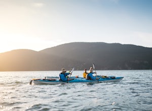
Kayak Camp on Cypress Island
16 miWe set out from the town of Anacortes, WA from Seafarers Memorial Park with a group of 6 people. Two in single kayaks and four in two tandem kayaks. After setting out into the water, keep to the west of Guemes island and follow the shoreline for a shorter trip or follow the east side for a longer...Read more -
Olga, Washington
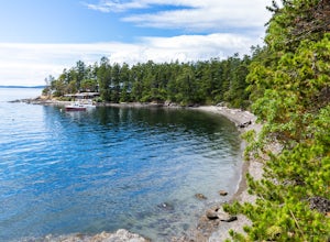
Camp at Obstruction Pass State Park
5.0The nine primitive campsites and one Cascadia Marine Trail campsite of Obstruction Pass State Park are the only first come, first serve campsites available on Orcas Island. The campsites themselves overlook a fantastic (and accessible beach) and Obstruction Pass itself. There are four composting ...Read more -
Blakely Island, Washington
Boat Camp at Blakely Island
From Washington Park in Anacortes, Washington we launched our 19' Beachcraft with a deep hull into Puget Sound on a beautiful blue sky morning. The weather and water was favorable for an overnight adventure to Blakely Island! We made our way across Rosario Straight and toward James Island (20 mi...Read more -
North Vancouver, British Columbia
Hike Quarry Rock
3.82.4 mi / 328.1 ft gainDeep Cove is a cozy little town located at the base of Mt. Seymour, lying on the shores of the Indian Arm which is a branch of the Burrard Inlet in North Vancouver. In autumn, the tree-lined streets glow orange in the sunlight and the sailboats, kayakers and paddleboarders fill the harbour with ...Read more -
Delta, British Columbia
Take a Sunset Ride on the Tsawwassen-Swartz Bay Ferry
4.0You can walk on or take your car on the ferry. Either way gets you to the same views. Make sure you sit on the right side of the boat (and it sometimes turns around once leaving the dock). Set up on the upper deck, and prepare yourself for an unbelievable show. Make sure you check out the onboard...Read more -
North Vancouver, British Columbia
Hike Mount Seymour to First Peak
4.0The elevation gain to first peak is approximately 451m and is about 9km.There are several ways to get to the top, each trail is marked well. One way is to follow the ski run up to brockton point and then take the turn off to Mount Seymour. Do not follow the Elsay Lake trail as it's signifciantly ...Read more -
North Vancouver, British Columbia
Hike and Camp on Mt. Seymour
From the end of the parking lot next to the BC Parks sign board, walk towards the ski run and follow it uphill to a green sign on the left. The first trail goes to Dog Mountain, another scenic and shorter hike then Mount Seymour. Instead, follow the trail that heads uphill and parallel to the ski...Read more -
North Vancouver, British Columbia
Snowshoe Dog Mountain
2.7 mi / 328.1 ft gainA perfect way to get outside before or after work. Dog mountain is an easily accessible snowshoe trail that takes you up to the short peak from the Mt. Seymour parking lot. This is a perfect spot for sunrise or sunset photography, and you can catch great 360 views from the top. Start at the BC Pa...Read more -
North Vancouver, British Columbia
Hike to Mystery Lake
4.03.1 mi / 492.1 ft gainFrom the Mt. Seymour ski area parking lot, head towards the Mystery Peak Express. Once you have passed the base of the Mystery Peak Express, you will continue up the trail to your left (right goes to dog mountain, straight to the 3 peaks of Seymour). Follow the trail all the way up to the lake. T...Read more -
Mount Vernon, Washington
Explore the Flower Fields of Skagit Valley
4.3Skagit Valley is an important agricultural region of Washington State, but the prettiest time of year to attend is during the spring when flower season takes hold. Daffodils first, then tulips, and then irises bloom and cover fields as far as the eye can see. The Skagit Tulip Festival is held eve...Read more

