Stanwood, Washington
Looking for the best hiking in Stanwood? We've got you covered with the top trails, trips, hiking, backpacking, camping and more around Stanwood. The detailed guides, photos, and reviews are all submitted by the Outbound community.
Top Hiking Spots in and near Stanwood
-
Concrete, Washington
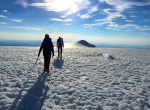
Climb Mt. Baker via the Easton Glacier Route
16 mi / 7600 ft gainThe Easton Glacier route is one of the mountain’s most popular and likewise, most crowded. Check out Mt. Baker’s Squak Glacier route or Coleman Deming Glacier route for an alternative climb with similar difficulty.You’ll start out at Schreibers Meadow Trailhead (3,200 ft.). To get there, exit off...Read more -
Concrete, Washington
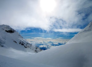
Climb Mt. Baker via Squak Glacier
10 mi / 7500 ft gainNOTE: THIS ROUTE REQUIRES GLACIER TRAVEL SKILLSMt Baker, or Kulshan, is a remarkable mountain in northwest Washington. Whether you're in Anacortes, Bellingham, Vancouver or on the San Juan Islands you can see Mt Baker standing as a citadel over the Northwest. Unlike the more popular routes like t...Read more -
Gold Bar, Washington
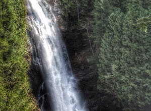
Wallace Falls
4.65.01 mi / 1404 ft gainThe trailhead is located at the far end of the parking lot, next to the info kiosk and bathrooms. It starts out in a wide-open area that shortly leads to stunning views of Mt. Index and Baring Mountain. The trail turns to the left and you're greeted by a beautiful Wordsworth quote carved into a t...Read more -
Gold Bar, Washington
Hike to Wallace Lake via Greg Ball Trail
4.58.2 mi / 1500 ft gainAn alluring State Park for its massive waterfall display, Wallace Falls is a high traffic destination along Highway 2, but don't overlook Wallace Lake as the falls steal the limelight. Head East on Highway 2, once you enter the town of Gold Bar keep on the lookout for the State Park signs and tu...Read more -
Granite Falls, Washington
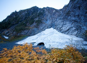
Big Four Ice Caves
4.32.38 mi / 289 ft gainDisclaimer: Hiking into the caves is extremely dangerous as there is potential for the ice to fall. We do not recommend hiking inside of them and if you choose to do so, you're doing it at your own risk. This is a short hike at just 2.3 miles roundtrip with little elevation change. The hike take...Read more -
Seattle, Washington
Washington Park Arboretum Loop Trail
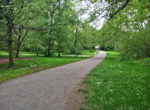
5.02.4 mi / 197 ft gainThe Washington Park Arboretum is the perfect place to swing through if you're looking for a short and gentle trail run without leaving the city. This expansive park includes the UW Botanic Gardens, Japanese Gardens, entire length of the Arboretum Creek - all landmarks you'll pass on this trail. ...Read more -
Brinnon, Washington
Hike Lower Big Quilcene River
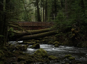
13 mi / 1800 ft gainWhile this hike does not provide any sort of fantastic views, its does provide an easy ~13 mile roundtrip hike from the trailhead to a parking lot for the Upper Big Quilcene Trail which leads to Marmot Pass. Along the way you will cross several bridges, some large and wide, other simple log bridg...Read more -
Ferndale, Washington
Take a Stroll through Hovander Homestead Park
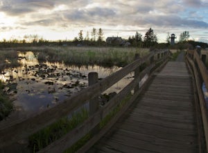
5.01.4 mi / 0 ft gainDriving up to the park entrance: take a right to drive towards the barnyards, playgrounds, covered picnic areas, historic house and community gardens, and access to the Snoqualmie River. Or, drive straight and park outside of the fragrance gardens and historic house/ museum, and take a walk to a...Read more -
Quilcene, Washington
Buckhorn Mountain
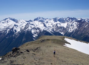
12.26 mi / 4429 ft gainThe climb to Buckhorn Mountain above Marmot Pass is a must see for every PNW adventurer with the endurance to tackle nearly 14 miles and 4,400 feet of gain. Listen to the rushing waters of the Big Quilcene River as the trail gently traverses up 5.5 miles to Marmot Pass. Be sure to filter water ...Read more -
Quilcene, Washington
Backpack to Marmot and Constance Passes
24 mi / 5200 ft gainThe secret to this trip: Marmot Pass and Boulder Shelter, where you can camp on National Forest Service land. Multiple excellent, large backpacking sites sit just on the edge of the National Park, giving you great access to Mt. Constance and Mt. Deception, two of the tallest peaks in the Olympics...Read more -
Concrete, Washington
Hike the East Bank of Baker Lake
4.39.2 mi / 978 ft gainAccess the hike from a 26.5-mile drive down Baker Lake Rd to the Baker Lake Trailhead. Note that the last 6 miles are unpaved and rather rough. The trail starts at low elevation so there's rarely snow or condition concerns, even in early spring. The trail runs alongside and then crosses the Bake...Read more -
Granite Falls, Washington
Hike to Perry Creek Falls & Mount Forgotten Meadows
11.5 mi / 3700 ft gainMost visitors park at this trailhead to hike Dickerman Mountain. Until this spring, so did I. However, don't overlook this stunning valley hike to Perry Creek, Mount Forgotten Meadows, and the scramble up Mount Forgotten!Begin this hike on the Perry Creek trail, which begins on the far left sid...Read more -
Granite Falls, Washington
Mt. Dickerman Summit
7.93 mi / 3675 ft gainIn general, this is a strenuous hike or snowshoe at approximately 8 miles round trip with nearly 4000 elevation gain. Be aware of current snow conditions and avalanche risk if heading up in the winter. Do not attempt a winter trip without proper knowledge, skill, and gear. Some previous winter tr...Read more -
Friday Harbor, Washington
Hike to Young Hill
4.01.2 mi / 650 ft gainFrom the main parking lot at English camp, follow the wide path east and cross West Valley road to the trailhead of Young Hill. The trail switchbacks several times and leads you past the English Camp cemetery. Continue left on the main trail through the forest of Pacific Madrone trees until you r...Read more -
Sequim, Washington
Hike to Royal Basin
4.715.76 mi / 3409 ft gainIf you're looking for a long day hike or multi-night backpacking trip in the Olympics, add Royal Lake and Royal Basin to your adventure list! The first mile of trail along the Dungeness River gains a gentle 300 feet. When you reach the bridge, do not cross it (the trail across the bridge goes...Read more -
Granite Falls, Washington
Vesper Peak Trail
4.06.59 mi / 3927 ft gainThis hike is very strenuous, but nothing unconquerable! The views at sunset were once in a lifetime and something I will remember for the rest of my life. The first half mile or so of the trail begins in a wooded area then opens up to views of the lower valley. After hiking for about another ½ t...Read more

