Snoqualmie, Washington
Top Spots in and near Snoqualmie
-
Seattle, Washington
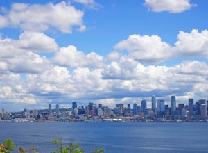
Visit Alki Beach
5.01 miThere is parking for about a mile along Alki Ave. SW, however it quickly fills up quickly so get there early. The beach is about a mile long and since there is little parking there is a good chance you will need to walk a fair distance. There are many things to do at this beach. There are kayak,...Read more -
Snoqualmie Pass, Washington
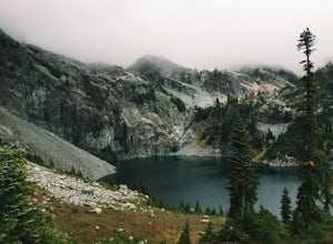
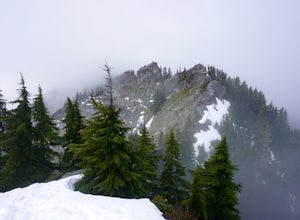
Chikamin Peak via Mineral Creek Trailhead
15.34 mi / 5771 ft gainThis is a S5 T4 scramble that involves some routefinding past the alpine lakes. We did this as a day trip and we were out and back in about 12 hours. There are multiple routes to get to Chikamin, one from the PCT, which is 24 miles RT and the other is from the Mineral Creek Trailhead (47.4176, -...Read more -
Seattle, Washington
Loop Trail - Discovery Park
3.5 mi / 200 ft gainThe Loop Trail in Discovery Park offers a nice respite from the city, with views of the Puget Sound, open fields and forest. Given it's a loop, there are a couple of different options to begin the hike. The most common is to park at the East Visitor Center Parking lot and take a short connector t...Read more -
Seattle, Washington
Lighthouse and Discovery Park Loop
5.04.27 mi / 384 ft gainThis Beautiful park in Seattle offers up gorgeous views of Puget Sound. The park has an easy to follow loop, which is about 4.5 miles. There are easy offshoots of the loop if you're looking to get a little extra distance. Keep an eye out for Hidden Valley Trail and North Beach Trail if you're up ...Read more -
Seattle, Washington
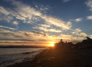
Discovery Park Beach
4.32.39 mi / 535 ft gainDiscovery Park and its beach area great for walking, running, photography, and taking in a sunset. If you want to put your feet in the sand, head down to the western most part of the park. This beach is a sand beach with an iconic lighthouse at the end. Dirftwood also washes up on the beach provi...Read more -
Seattle, Washington
Golden Gardens Park
4.5Golden Gardens Park is a beautiful, sandy gem that’s perfect for spending a sunny summer day lounging on the beach, exploring the shore, stand up paddling, or even playing beach volleyball. This park also features some of my favorite views in Seattle. As day turns to night, enjoy a beautiful suns...Read more -
Mountlake Terrace, Washington
Kayak Lake Ballinger
4.0Getting Here: Heading North on I5 from Seattle Center, take exit 178 for 236th Street SW and Lakeveiw Dr. Take a left on Lakeview Dr. and follow along for a half a mile before you see the Lake Ballinger Boat Ramp parking area on the left. There is a community park and rental facility on the noir ...Read more -
Skykomish, Washington
Beckler Peak
7.55 mi / 2139 ft gainLooking for a gradual forest hike up to a peak with 360° views of the Cascades? Beckler Peak trail winds through old growth, past rushing waterfalls, and up to a granite summit. From the top, you can see mountains in the Cascades such as Glacier Peak, Mount Baring, Mount Index, Evergreen Mounta...Read more -
Easton, Washington
Snowshoe to Amabilis Mountain
9.5 mi / 2100 ft gainTo reach Amabilis Mountain, park at the Cabin Creek Sno Park at Exit 63 off I-90. Take the overpass across the highway to the trailhead and strap on your snowshoes. There's a maze of cross-country ski trails, but you'll want to keep to the right and follow the Berg trail for a quarter mile until ...Read more -
Enumclaw, Washington
Hike to Kelly Butte
3.4 mi / 1100 ft gainAfter a rough drive to the trailhead you’ll have little time to catch your breath as the trail laces up the mountain side, but with Rainier to distract you, it won’t be long until you’re at the top with a view that is more than enough reward for your efforts. Pay very close attention to the drivi...Read more -
Snoqualmie Pass, Washington
Spectacle Lake via Pete Lake Trail
5.018.91 mi / 3058 ft gainDepending on when you arrive at the Pete Lake Trailhead, expect to be traveling with company as it is one of the more popular locations on the eastside of Snoqualmie Pass. At an elevation of 2600 feet, the beginning route is a moderate 400 feet of elevation gain. Start on your way through the va...Read more -
Skykomish, Washington
Hike Mount Sawyer
8 mi / 1200 ft gainThis trail starts off going through the forest of fir and hemlock for the first mile. Once you reach the top of the first hill, you will get a glimpse of all the views you will have the opportunity to enjoy later on. As you descend, the trees will start to thin out. The trail follows the ridge l...Read more -
Snoqualmie Pass, Washington
Cooper Lake
The Owhi Campground on Cooper Lake is tucked away in the Okanogan-Wenatchee National Forest near Salmon La Sac. It sits at 2,788 feet and has views of Chikamin Peak (6960') and Lemah Mountain (7480'). The lake is quiet, very photogenic, and easily accessible. The campground is on the north si...Read more -
Port Orchard, Washington
Crabbing Puget Sound
Did you know that Dungeness Crabs are named after the port of Dungeness, Washington where they were first commercially fished? Big, meaty and delicious these crabs are plentiful in the Puget Sound region as their under appreciated cousins the Red Rock Crab. The Washington State Department of Fi...Read more -
Snoqualmie Pass, Washington
Thorp Mountain Lookout via Knox Creek Trail
4.34 mi / 1677 ft gainThis trail features beautiful wildflower meadows during the summer season and is relativity low trafficked. Bring your hammock for breathtaking views from the lookout and catch an incredible sunset. The summit has no established camping spots, so if staying overnight prepare to sleep on uneven gr...Read more -
Edmonds, Washington
Hike to Meadowdale Beach
5.0If you plan to hike to this beach on the weekend, arrive early because the parking lot fills up fast. From the trailhead, hike down through an old forest along a stream to reach Meadowdale Beach Park. Take in the sounds of birds, wildlife, and the stream adjacent to the trail. At one mile you wil...Read more

