Snoqualmie Pass, Washington
Top Spots in and near Snoqualmie Pass
-
Leavenworth, Washington
4.0
6.76 mi
/ 1496 ft gain
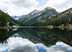
Beginning at the trailhead, fill out a self-issued permit allowing you to stay overnight. Start your trek heading upwards at an elevation of 3300 feet. As you become adapted to the trail, you will start to realize it is maintained and well groomed. In addition, The 1300 feet of elevation gained t...
Read more
-
Leavenworth, Washington
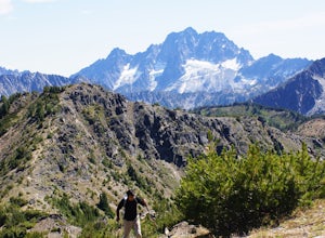
To get to Cashmere Mountain, drive east towards Leavenworth on Highway 2 and turn right on Icicle Creek Road. After 8.5 miles, turn left onto Eightmile Road for 3 miles, and park at the Eightmile Lake trailhead. The hike begins at Eightmile Lake Trail. After 2.8 miles, just past Little Eightmile ...
Read more
-
Snohomish County, Washington
From Skykomish, WA drive east on SR 2 roughly 1 mile and turn left on the Beckler River Road, FS RD 65. Drive north on this road approximately 7 miles taking a sharp right at the pavement's end just before crossing the Rapid River. You are now on FS RD 6520. Continue on this road bearing left a...
Read more
-
Issaquah, Washington
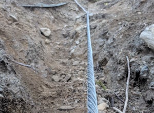
If you're looking for something with low-grade steepness, you're not going to find it here. Gaining over 2,000' in under 2 miles to the summit, this isn't for the faint of heart.
The trail exists because of a buried cable, which has since been exposed and which you can see near the top of the t...
Read more
-
Enumclaw, Washington
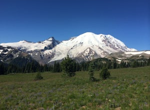
Prepare in advance to hold your jaw from dropping. Stunning views of Mt. Rainier await visitors of Grand Park. A quick jaunt through the forest via the trailhead leads first to Lake Eleanor. Well groomed campsites are available for overnight stays.Head past Lake Eleanor and you're on the way to G...
Read more
-
Gold Bar, Washington
Note: Please be careful when exploring the falls. We recommend not walking on the surfaces directly next to the falls as the water is moving very quickly and can pick you up quickly. The falls are home to several very sad losses.
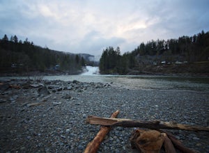
Sunset Falls is the largest and the final of the three major wate...
Read more
-
Gold Bar, Washington
4.7
2.47 mi
/ 984 ft gain
To the trailhead, drive east on highway 2 from Everett. Just past milepost 37 you will see a gravel parking area on the left side of the highway.
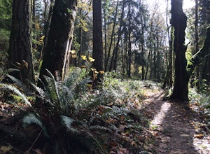
Wander through a mossy forest that reminds me of Olympic National Park and traverse up 1.3 miles of switch backs to ascend heybrook lookout! Dogs ar...
Read more
-
Gold Bar, Washington
4.8
7.74 mi
/ 2569 ft gain
Consider this a must-do if you are in Seattle and feel like knocking out two amazing hikes AND getting to see a hidden lake all along US 2.
The trail starts out on an old road with the typical amazing forest surrounding you. After roughly 2 miles the road will end and you can go right (signage i...
Read more
-
Issaquah, Washington
4.0
7.51 mi
/ 1125 ft gain
The trail system in the 1,300 acre Grand Ridge Park can currently can be accessed from two lots: High Point and Central Park, with a new lot at Duthie Hill still under construction.
To get to the High Point lot take exit 20 off of I-90 (coming from Seattle), take a left and pass under the freewa...
Read more
-
Gold Bar, Washington
There isn’t a clearly designated trail to start this scramble/hike. Look for the trail that more resembles a boot path. The trail won’t be well marked, but there might be some orange tape or markers to help you find your way.During the first mile of the hike, you’ll see the most elevation gain, s...
Read more
-
Issaquah, Washington
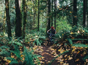
Duthie Hill is a premier and beautifully designed mountain bike park set in lush douglas firs and western hemlock forests . Created and maintained by the Evergreen Mountain Bike Alliance (evergreenmtb.org) with the help of King County and volunteers, Duthie Hill although open to hikers, is 100% s...
Read more
-
Sultan, Washington
Although short, this new trail is a great warm-up to the many other trails this area has to offer. Starting immediately across the North Fork Skyhomish River at the new trailhead, you will make your way up this moderately steep hike to the Heybrook Ridge. once you reach the top of the trail, you ...
Read more
-
Leavenworth, Washington
4.5
2.88 mi
/ 1522 ft gain
This is a relatively short hike, at only 2.6 miles round trip, that takes you up to the nearly 5600 foot summit. The hike may be short but it is extremely steep, gaining 1300ft in the 1.3 miles to the summit, so be prepared for a good leg workout. On the way to the top you will walk through field...
Read more
-
Leavenworth, Washington
Most adventurers travel down Icicle Creek Road to visit Colchuck Lake and the Enchantment Basin. But, if you're looking for an adventure for a cool summer morning without the crowds, continue past the Colchuck/Stuart forest road and explore this trail! Expansive views of the entire Stuart range...
Read more
-
Leavenworth, Washington
The Smith Brook trail starts off with several switchbacks, then continues up to Union Gap where it meets the Pacific Crest Trail. Turn south (left) at Union Gap and continue hiking until you reach the gap between Mount Lichtenberg and McCausland, where you get a first glimpse of Lake Valhalla.Jus...
Read more
-
Issaquah, Washington
4.4
6.57 mi
/ 1880 ft gain
The Poo Poo Point trail is a great option for beautiful forest and great views only about 20 minutes outside of Seattle. The longer and less steep of the two routes to Poo Poo Point, this trail leaves from the Issaquah High School (the shorter and steeper Chirico Trail leaves from the paragliding...
Read more

