Renton, Washington
Looking for the best hiking in Renton? We've got you covered with the top trails, trips, hiking, backpacking, camping and more around Renton. The detailed guides, photos, and reviews are all submitted by the Outbound community.
Top Hiking Spots in and near Renton
-
Quilcene, Washington
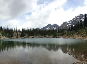
Backpack to Marmot and Constance Passes
24 mi / 5200 ft gainThe secret to this trip: Marmot Pass and Boulder Shelter, where you can camp on National Forest Service land. Multiple excellent, large backpacking sites sit just on the edge of the National Park, giving you great access to Mt. Constance and Mt. Deception, two of the tallest peaks in the Olympics...Read more -
Easton, Washington
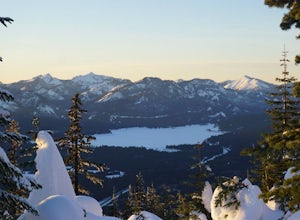
Snowshoe to Amabilis Mountain
9.5 mi / 2100 ft gainTo reach Amabilis Mountain, park at the Cabin Creek Sno Park at Exit 63 off I-90. Take the overpass across the highway to the trailhead and strap on your snowshoes. There's a maze of cross-country ski trails, but you'll want to keep to the right and follow the Berg trail for a quarter mile until ...Read more -
Granite Falls, Washington
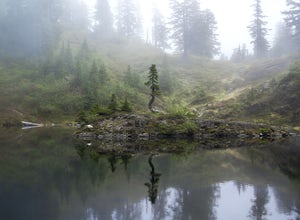
Cutthroat Lakes via Walt Bailey Trail
4.06.21 mi / 1978 ft gainAlong the Mountain Loop Highway, past the crowds crawling over Mt. Pilchuck, lies the muddy, unkempt Walt Bailey Trail into a verdant subalpine basin speckled with tiny tarns. The Cutthroat Lakes are a delightful location to spend the night with optional day hikes up to exposed ridgelines and cra...Read more -
Snoqualmie Pass, Washington
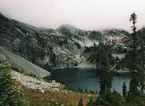
Chikamin Peak via Mineral Creek Trailhead
15.34 mi / 5771 ft gainThis is a S5 T4 scramble that involves some routefinding past the alpine lakes. We did this as a day trip and we were out and back in about 12 hours. There are multiple routes to get to Chikamin, one from the PCT, which is 24 miles RT and the other is from the Mineral Creek Trailhead (47.4176, -...Read more -
Quilcene, Washington
Mount Townsend
8.59 mi / 2949 ft gainThere are four trailheads that guide you to the top of Mount Townsend, but the most popular choice is to begin at the Upper Trailhead Trail #839 (snow permitting). The trail gradually climbs while traversing through forested area. While walking through the fir and hemlock trees, you pass three ...Read more -
Granite Falls, Washington
Heather Lake Trail
4.34.33 mi / 1165 ft gainThe trail takes you on a gradual climb up to Heather Lake with beautiful second growth to admire along the way. The trail can be very wet and muddy with many tree roots to catch your toes, so make sure to wear a sturdy pair of tennis shoes or hiking shoes. Dogs are permitted on this trail on-leas...Read more -
Hoodsport, Washington
Climb Mt. Washington
3.5Follow the driving directions, pass the upper Mt Eleanor parking area and continue until the road dead-ends due to a landslide. Try to leave room for cars to turn around when you park.Follow the trail which starts just near the lake boulder near the parking area. The trail through the lower slope...Read more -
Hoodsport, Washington
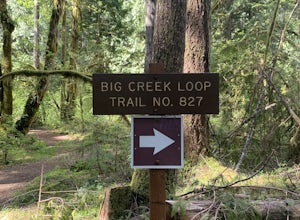
Upper Big Creek Loop Trail
4.76 mi / 1142 ft gainUpper Big Creek Loop Trail is a loop trail that takes you by a river located near Lilliwaup, Washington.Read more -
Granite Falls, Washington
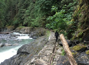
Old Robe Canyon Trail
3.69 mi / 771 ft gainNOTE: The trail is currently closed about 1 mile in due to landslides. This trail starts right off the Mountain Loop Highway outside of Granite Falls. Look out for a brick sign with the trail name, as it's easy to miss otherwise. There's parking next to the highway, but since there is a history...Read more -
Granite Falls, Washington
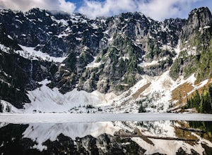
Lake 22
4.65.98 mi / 1434 ft gainIf you're looking for a taste of the Mountain Loop Highway area, but don't have it in you for a longer, steeper journey, look no further than Lake 22. The trail starts out as flat and well-maintained, from the parking lot, before becoming a true mountain rainforest trail. Water and dampness are f...Read more -
Skykomish, Washington
Beckler Peak
7.55 mi / 2139 ft gainLooking for a gradual forest hike up to a peak with 360° views of the Cascades? Beckler Peak trail winds through old growth, past rushing waterfalls, and up to a granite summit. From the top, you can see mountains in the Cascades such as Glacier Peak, Mount Baring, Mount Index, Evergreen Mounta...Read more -
Hoodsport, Washington
Snowshoe Mt. Ellinor's Winter Route
5 mi / 4500 ft gainYou can stat this adventure at one of two trailheads. I suggest using the lower of the two. The start of the trail ascends through a forest of old growth pines with periodic views of Mt Washington. Eventually, at a fork in the trail, you will see a sign marking the start of the winter route. You ...Read more -
Ashford, Washington
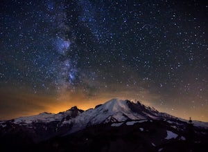
See the Milky Way over Mt. Rainier
4.82.52 mi / 322 ft gainThe Milky Way and Mount Rainier is a beautiful combination. In order to get a photo of the Milky Way over Mount Rainier you need to be in the right spot at the right time of year. The spot seen in the photographs is a great spot in that it isn't too far of a hike and provides an unobstructed view...Read more -
Ashford, Washington
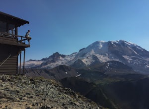
Mt. Fremont Fire Lookout Trail
4.65.78 mi / 787 ft gainEscape the crowds at Paradise and come enjoy the best views in the park! Start from the visitor's center parking lot and head up the Sourdough Ridge Trail and hike the 1.3 miles to Frozen Lake. Along the way (depending on the season) you'll hike up snow, through glorious fields of wild flowers, ...Read more -
Ashford, Washington
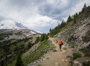
Hike Sunrise Trails at Mount Rainier
5.06 mi / 1200 ft gainI grew up in Washington, but didn't get out to Mount Rainier until I came home for a visit years later. We took advantage of the nonexistent snowpack and headed up in mid-June, which is normally a terrible time to visit (think late summer). There are two main areas in the park, Sunrise and Paradi...Read more -
Ashford, Washington
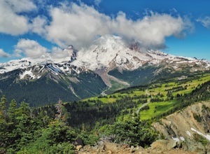
Hike Dege Peak in Mount Rainier National Park
5.03.5 mi / 600 ft gainWhile most hikers who park at the Sunrise Visitor Center head west to get closer to the peak of Mount Rainier, heading east will take you away from the crowds while still providing incredible views. Starting from the parking lot, head north up a set of stairs. When you reach the split in the tra...Read more

