Quinault, Washington
Looking for the best hiking in Quinault? We've got you covered with the top trails, trips, hiking, backpacking, camping and more around Quinault. The detailed guides, photos, and reviews are all submitted by the Outbound community.
Top Hiking Spots in and near Quinault
-
Port Angeles, Washington
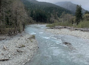
West Elwha River Trail
5.06.11 mi / 1198 ft gainWest Elwha River Trail is an out-and-back trail that takes you by a river located near Port Angeles, Washington.Read more -
Port Angeles, Washington
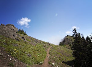
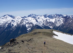
Klahhane Ridge (Switchback Route)
4.05 mi / 1700 ft gainHiking to Klahhane Ridge is a rewarding experience that provides you with sweeping views of the Olympic Mountains. Further access to overnight opportunities is possible if you venture beyond the summit trail. Here’s the scoop: Get an early start. There is a decent amount of parking available at ...Read more -
National Forest Development Road 2530, Washington
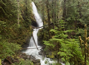
Hike to Murhut Falls
1.37 mi / 371 ft gainThe trailhead to Murhut Falls is located about 7.5 miles off US-101 S but the last couple of miles are on NF-2530 which can be potholed and rutted. I made it up the road in my 2WD sedan but it took quite some time to dodge all of the potholes. This hike is nice and quick! It starts with a small ...Read more -
Port Angeles, Washington
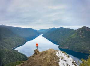
Mount Storm King
4.73.91 mi / 2251 ft gainThe trailhead is located right next to the Storm King ranger station adjacent to Lake Crescent right off Hwy 101 just past Port Angeles if heading West. It shares the same trail as, and breaks off left from the Marymere Falls trail (also worth seeing) about a quarter mile in (look for signage). ...Read more -
Port Angeles, Washington
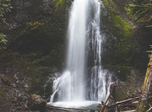
Marymere Falls
4.31.93 mi / 531 ft gainMarymere Falls (90 ft.) is located in Olympic National Park, near Lake Crescent. The falls can be accessed by a short, well-maintained dirt trail through old-growth lowland forest consisting of fir, cedar, hemlock, and alder trees. The creek descends from Aurora Ridge and tumbles over Marymere Fa...Read more -
Port Angeles, Washington
Olympic Hot Springs
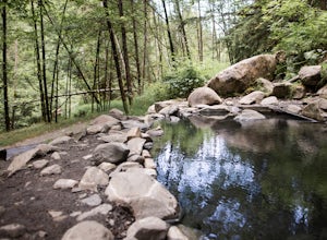
3.721.52 mi / 3556 ft gainA local favorite, this moderate day hike winds its way uphill from the Appleton Pass trailhead through old growth stands of fir, hemlock and cedar for 2.2 miles to a cluster of hot springs interspersed among the trees. Note: This route is now closed due to a washed out road. The current route is ...Read more -
Brinnon, Washington
Camp at the Dose Forks
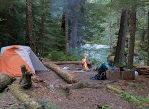
15 mi / 1200 ft gainThe Dose Forks Campground is an overlooked campsite deep within the Olympic National Park, making it a perfect weekend camping destination. A mild, 7.5 mile (one-way) trail delivers you to this enchanting area and is a must for those who love photographing forests. There are no reservation requir...Read more -
Port Angeles, Washington
Camp at Fairholme Campground
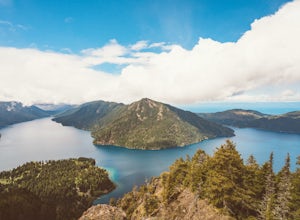
3.0The campground is right at the very north end of Lake Crescent. It has bathroom and potable water, and for just $20 a night I think it is well worth it. Each campsite is equipped with a table and firepit (bring firewood). Open between May and October; first come first serve. As for activities, t...Read more -
Port Angeles, Washington
Backpack 1000 Acre Meadows
45.1 mi / 10750 ft gainThere are many different ways to reach 1000 Acre Meadows, but this guide will get you there starting at the Deer Park trailhead (5,400').Day 1: 14 miles You will start out by descending 2,400' and 4.3 miles to reach the Graywolf Camp. This is where the loop meets up with itself later on. Our goal...Read more -
Port Angeles, Washington
Camp at Deer Park Campground
5.0Deer Park Campground is really a hidden gem. With an elevation of 5,400 feet, the campground has amazing views of Olympic National Park, making you feel like you are camping above the clouds.There are also several hiking trails in the area that lead to even more spectacular views. Deer Park is on...Read more -
Port Angeles, Washington
Spruce Railroad Trail
3.011.36 mi / 1138 ft gainThis versatile trail can adapt to your needs. It's can be an out-and-back hike, so you can make it as long as you like. If you do full distance, you are looking at an 8 mile day... OR, if you have two cars, you can park a car at either end of the trail and make it a 4 mile one-way hike. This des...Read more -
Sequim, Washington
Hike to Royal Basin
4.715.76 mi / 3409 ft gainIf you're looking for a long day hike or multi-night backpacking trip in the Olympics, add Royal Lake and Royal Basin to your adventure list! The first mile of trail along the Dungeness River gains a gentle 300 feet. When you reach the bridge, do not cross it (the trail across the bridge goes...Read more -
Port Angeles, Washington
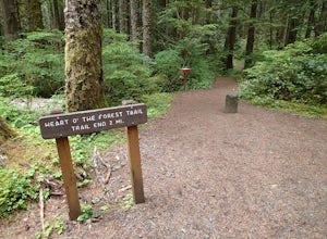
Hike the Heart O' the Forest Trail
5.04.52 mi / 840 ft gainThis hike is a short, 4.0 mile round trip, half-day or less hike, located just past the Hurricane Ridge entrance into Olympic National Park. Being relatively level and the trail head just off loop E of the Heart O' the Hills Campground, the Heart O' the Forest hike offers those looking for a tast...Read more -
Port Angeles, Washington
Backpack to Lake Angeles
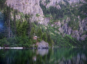
5.07.12 mi / 2503 ft gainLake Angeles is, rightfully, a popular day hike and overnight backpacking option, as its one of the larger, more accessible lakes in Olympic National Park. It can be done either as a moderate day hike with a refreshing swim and picnic lunch or a relaxing overnight with gorgeous views and reliable...Read more -
Seabeck, Washington
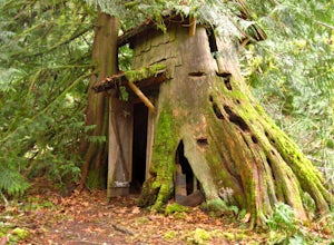
Hike to Guillemont Cove Stump House
4.52.5 miHave you ever been inside a stump house? This is your chance! Just outside of Seabeck, Washington lies a hobbit stump house tucked into a mossy forest on the shores of Guillemont Cove. Drive to Seabeck, turn right onto Miami Beach Road, bear left onto Stavis Bay road and continue for 4.5 miles...Read more -
Quilcene, Washington
Buckhorn Mountain
12.26 mi / 4429 ft gainThe climb to Buckhorn Mountain above Marmot Pass is a must see for every PNW adventurer with the endurance to tackle nearly 14 miles and 4,400 feet of gain. Listen to the rushing waters of the Big Quilcene River as the trail gently traverses up 5.5 miles to Marmot Pass. Be sure to filter water ...Read more

