Port Townsend, Washington
Top Spots in and near Port Townsend
-
Langford, British Columbia
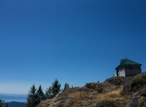
Mount Finlayson in Goldstream Provincial Park is 19 km north of Victoria on Hwy 1. The trail takes you up to a scenic lookout of Victoria. For the majority, this trail is quite easy, however, it gets slightly more challenging toward the end when the terrain gets steeper.Park at Goldstream Provinc...
Read more
-
Arlington, Washington
4.3
8.12 mi
/ 1424 ft gain
Boulder River is a great outing for those days when you feel like you just need a good hike through the forest. This makes for a nice long day hike, but because both of the large waterfalls are within the first half of the trail, you can still see the falls without going the whole way. One of the...
Read more
-
Eastsound, Washington
It may be daunting to figure out how to kayak in the San Juan Islands.If you're a beginner/intermediate kayaker, this is the trip for you.First, you'll want to plan ahead and reserve a kayak for Sucia Island. We used Outer Island Expeditions which was nice because they make it pretty easy for you...
Read more
-
Victoria, British Columbia
4.0
5.75 mi
/ 1499 ft gain
Gowlland Tod is a beautiful park, running along the Finlayson Arm fjord. Jocelyn hill is in the middle of the park, and can be accessed from the Caleb Pike access at the South end (along the Ridge trail) or from the McKenzie Bight access at the North end (along the Timberman trail). With planning...
Read more
-
Granite Falls, Washington
4.3
4.33 mi
/ 1165 ft gain
The trail takes you on a gradual climb up to Heather Lake with beautiful second growth to admire along the way. The trail can be very wet and muddy with many tree roots to catch your toes, so make sure to wear a sturdy pair of tennis shoes or hiking shoes. Dogs are permitted on this trail on-leas...
Read more
-
Arlington, Washington
4.5
14.31 mi
/ 4357 ft gain
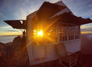
Approximately 11 miles east of Granite Falls, WA, on the Mt. Loop Highway, turn onto Forest Service road 41 and follow this road for 18.0 miles to the trailhead. The road is quite rough and it is recommended you have a four-wheel drive vehicle. There is a washout about halfway along the road, an...
Read more
-
Hoodsport, Washington
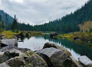
Follow the driving directions, pass the upper Mt Eleanor parking area and continue until the road dead-ends due to a landslide. Try to leave room for cars to turn around when you park.Follow the trail which starts just near the lake boulder near the parking area. The trail through the lower slope...
Read more
-
Bellingham, Washington
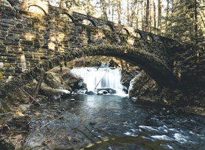
Whatcom Falls is easily accessible within Whatcom Falls Park. It is less than a 2 minute walk from the parking lot to the bridge overlooking Whatcom Falls.
This is a nice place to checkout with good company if you don't have a lot of time to enjoy the fresh air.
Read more
-
Bellingham, Washington
2.0
0.45 mi
/ 125 ft gain
Pixie Falls can be accessed during any season; however it’s most enjoyable during the spring and summer months. This waterfall and swimming hole combo is the perfect way to escape the heat and the crowds. On any given day, there will typically be less than 10 people who access the falls. Pixie is...
Read more
-
Granite Falls, Washington
4.6
5.98 mi
/ 1434 ft gain
If you're looking for a taste of the Mountain Loop Highway area, but don't have it in you for a longer, steeper journey, look no further than Lake 22. The trail starts out as flat and well-maintained, from the parking lot, before becoming a true mountain rainforest trail. Water and dampness are f...
Read more
-
Sooke, British Columbia
The Sooke Hills is a geographic region of low hills with elevations between 350m (Mt. Wells) to a high of 682m (Mt. Empress), located in the area bounded on three sides by Highway 1 to the east, Highway 14 to the south and the Sooke River to the west. Though heavily logged 100+ years ago, in the ...
Read more
-
Sooke, British Columbia
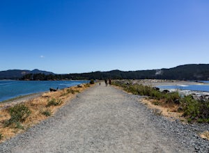
Located in Sooke, between the Sooke Harbour and the Juan de Fuca Strait is Whiffin Spit Park. An easy 2.4km out and back trail with minimal elevation gain that you can walk to the end and back in about an hour.
The dog-friendly gravel trail takes you down the spit to the end where you will find a...
Read more
-
Port Angeles, Washington
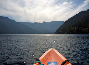
From the Log Cabin Resort located on the east shore of Lake Crescent, rent a kayak and spend the day on the water! My husband and I rented a kayak on our honeymoon for a day and explored half of the lake staying close to the east shore.You can see the bridge for the Spruce Railroad trail on the ...
Read more
-
Hoodsport, Washington
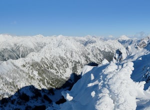
You can stat this adventure at one of two trailheads. I suggest using the lower of the two. The start of the trail ascends through a forest of old growth pines with periodic views of Mt Washington. Eventually, at a fork in the trail, you will see a sign marking the start of the winter route. You ...
Read more
-
Port Angeles, Washington
4.7
3.91 mi
/ 2251 ft gain
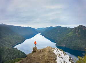
The trailhead is located right next to the Storm King ranger station adjacent to Lake Crescent right off Hwy 101 just past Port Angeles if heading West.
It shares the same trail as, and breaks off left from the Marymere Falls trail (also worth seeing) about a quarter mile in (look for signage). ...
Read more
-
Port Angeles, Washington
4.3
1.93 mi
/ 531 ft gain
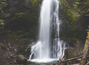
Marymere Falls (90 ft.) is located in Olympic National Park, near Lake Crescent. The falls can be accessed by a short, well-maintained dirt trail through old-growth lowland forest consisting of fir, cedar, hemlock, and alder trees. The creek descends from Aurora Ridge and tumbles over Marymere Fa...
Read more

