Port Townsend, Washington
Looking for the best hiking in Port Townsend? We've got you covered with the top trails, trips, hiking, backpacking, camping and more around Port Townsend. The detailed guides, photos, and reviews are all submitted by the Outbound community.
Top Hiking Spots in and near Port Townsend
-
Mason County, Washington
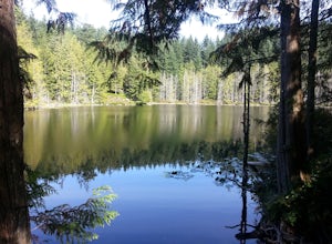
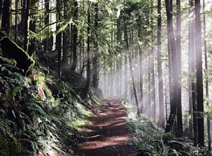
Lena Lake
4.56.24 mi / 1644 ft gainThe trail climbs gently up and is accessible almost every season, weather permitting. Snowshoes may be needed December-February, so make sure and check with the Hoodsport Ranger Station. Just 45 minutes north of Hoodsport (a darling small town on the shores of Puget Sound), this trailhead has sp...Read more -
Mason County, Washington
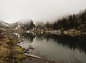
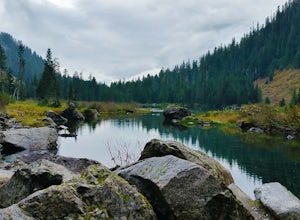
Upper Lena Lake
5.012.61 mi / 4239 ft gainThe hike to Upper Lena Lake is a beautiful one. It first takes you past Lena Lake, which is a very popular weekend destination for families. Luckily you're pushing on to Upper Lena Lake that sits in a peaceful alpine meadow with Mt. Lena and Mt. Bretherton towering above. The first part of the t...Read more -
Seattle, Washington
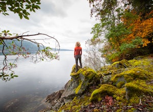
Camp on Blake Island
There are 2 ways to get to Blake Island: private boat or via the Argosy Cruises tour boat (or if you're ambitious, I guess you can swim there!). If traveling by private boat, there is a marina with limited dock space as well as buoy moorings around the island for a moorage fee. Blake Island is ...Read more -
Victoria, British Columbia
Hike around Thetis Lake
4.51.9 mi / 196.9 ft gainTake Highway 1 west from Victoria. Turn onto Exit 10 (View Royal/Colwood) and continue on the Island Highway. Turn right at Six Mile Road, which leads straight to Thetis Lake Regional Park.Note that this park is also accessible by bike via the Galloping Goose Trail.With minimal elevation (~60m) a...Read more -
Granite Falls, Washington
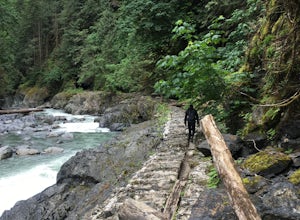
Old Robe Canyon Trail
3.69 mi / 771 ft gainNOTE: The trail is currently closed about 1 mile in due to landslides. This trail starts right off the Mountain Loop Highway outside of Granite Falls. Look out for a brick sign with the trail name, as it's easy to miss otherwise. There's parking next to the highway, but since there is a history...Read more -
Bellingham, Washington
Hike to Pine & Cedar Lakes
5.05 mi / 1400 ft gainThese two quaint lakes in the Chuckanuts are a must-do for people looking for a day hike, short camping trip or steep trail run in the Bellingham area. Starting at the trailhead off of Old Samish Road, one begins the 2 mile ascent to the two lakes. The first 1,400ft climb has its fair share of up...Read more -
Sooke, British Columbia
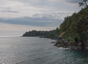
Hike East Sooke Park
Sitting very close to the southernmost point of Vancouver Island, facing west towards the mouth of the Strait of Juan de Fuca and the open Pacific Ocean, East Sooke Park is a unique and magical place for a hike or trail run. Your first visit will spark the desire to keep returning, to keep explor...Read more -
Mason County, Washington
Hike to Lake of the Angels
5.06.75 mi / 3599 ft gainThe trail up to Lake of the Angels, known as the Putvin Trail, starts out pretty mellow with a gradual uphill climb. Your first marker will be an old roadbed at around 1.4 miles, but you'll need to cross two ravines before making it there. It's thick forest with gorgeous views in the clearings, s...Read more -
Friday Harbor, Washington
Hike to Lovers Leap on Stuart Island
5 mi / 200 ft gainThis hike is only doable if you are already on Stuart Island! There is no public transportation to Stuart Island, so you must already be there or have a plan to be there in order to complete this hike.I frequent this island during the summer months and it is one of my favorites. I always stay in ...Read more -
Granite Falls, Washington
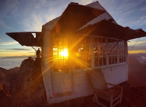
Mount Pilchuck Lookout
4.85.22 mi / 2113 ft gainHike the well-maintained Mount Pilchuck Lookout trail through a variety of terrain: old-growth forest and granite boulder fields. At the top, you'll reach a lookout tower perched on Mount Pilchuck. Pilchuck sits on the western edge of the Cascades, which offers up amazing panoramic views once you...Read more -
Langford, British Columbia
Hiking the Goldmine Trail
4.52.2 mi / 295.3 ft gainGoldstream Provincial Park is just a short drive from Victoria. Within 20 minutes of leaving the city center, you can be immersed in an old growth temperate rain forest.From Victoria, take the Trans-Canada highway to the start of the Malahat. The Goldstream day use area is well marked. Stop here ...Read more -
Langford, British Columbia
Hiking Mt. Finlayson
4.0Mount Finlayson in Goldstream Provincial Park is 19 km north of Victoria on Hwy 1. The trail takes you up to a scenic lookout of Victoria. For the majority, this trail is quite easy, however, it gets slightly more challenging toward the end when the terrain gets steeper.Park at Goldstream Provinc...Read more -
Arlington, Washington
Boulder River Trail
4.38.12 mi / 1424 ft gainBoulder River is a great outing for those days when you feel like you just need a good hike through the forest. This makes for a nice long day hike, but because both of the large waterfalls are within the first half of the trail, you can still see the falls without going the whole way. One of the...Read more -
Victoria, British Columbia
Hike to Jocelyn Hill
4.05.75 mi / 1499 ft gainGowlland Tod is a beautiful park, running along the Finlayson Arm fjord. Jocelyn hill is in the middle of the park, and can be accessed from the Caleb Pike access at the South end (along the Ridge trail) or from the McKenzie Bight access at the North end (along the Timberman trail). With planning...Read more -
Granite Falls, Washington
Heather Lake Trail
4.34.33 mi / 1165 ft gainThe trail takes you on a gradual climb up to Heather Lake with beautiful second growth to admire along the way. The trail can be very wet and muddy with many tree roots to catch your toes, so make sure to wear a sturdy pair of tennis shoes or hiking shoes. Dogs are permitted on this trail on-leas...Read more -
Arlington, Washington
Three Fingers Lookout
4.514.31 mi / 4357 ft gainApproximately 11 miles east of Granite Falls, WA, on the Mt. Loop Highway, turn onto Forest Service road 41 and follow this road for 18.0 miles to the trailhead. The road is quite rough and it is recommended you have a four-wheel drive vehicle. There is a washout about halfway along the road, an...Read more

