Port Orchard, Washington
Looking for the best photography in Port Orchard? We've got you covered with the top trails, trips, hiking, backpacking, camping and more around Port Orchard. The detailed guides, photos, and reviews are all submitted by the Outbound community.
Top Photography Spots in and near Port Orchard
-
North Bend, Washington
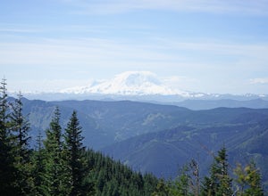
Hike Mount Washington
4.32.89 mi / 3058 ft gainYou start out at an elevation of about 1200 feet and you gradually make your way up to the top at 4450 feet. You are hiking through forest land the whole time with peaks of a beautiful view to the north every so often. Along the way there are many rock walls which you can climb at, however on our...Read more -
Port Angeles, Washington
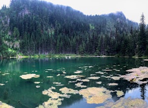
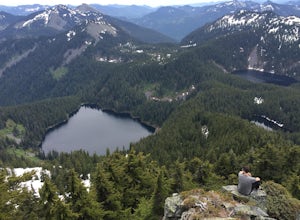
Hike to PJ Lake, Olympic National Park
1.63 mi / 692 ft gainA short and scenic trail of tranquility that leads to the secluded Lake PJ, hidden on Hurricane Ridge. Nothing but nature stirs here. The trail, while well-traveled, is far quieter than others in the surrounding area of Olympic. You might see one other hiker. It is lined with wildflowers and in t...Read more -
Carbonado, Washington
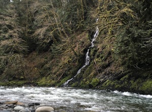
Hike the Upper Foothills Trail along the Carbon River
10 mi / 30 ft gainThe upper Foothills Trail from the Fairfax Bridge to Manley Moore can be hiked starting from either end as an "out and back" hike or a "point to point" by shuttling with two vehicles. Starting from the upper end of the trail you begin by walking under the Kolisch Rd. Bridge, which has the Manley...Read more -
Sequim, Washington
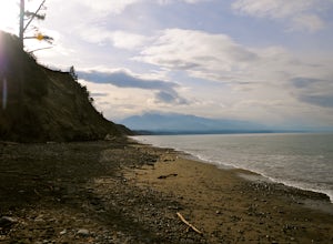
Hike Dungeness Spit
3.511 mi / 130 ft gainPark at a the north side of the Dungeness Spit Recreation Area, in the Refuge parking lot. There is a kiosk at the Refuge where you can pay an entrance fee ($3) and check the Tide Table. Only attempt the hike at low tide or the sand spit becomes narrow and you have to climb over logs.Follow the R...Read more -
Port Angeles, Washington
Klahhane Ridge (Switchback Route)
4.05 mi / 1700 ft gainHiking to Klahhane Ridge is a rewarding experience that provides you with sweeping views of the Olympic Mountains. Further access to overnight opportunities is possible if you venture beyond the summit trail. Here’s the scoop: Get an early start. There is a decent amount of parking available at ...Read more -
North Bend, Washington
Hike Pratt Balcony
2.2 miThis one can be a bit tricky to find. The trailhead is unmarked and is a bit hidden around a curve of Middle Fork Road so it is easy to miss. At about 9.80 miles from the junction of 468th St. and Middle Fork Road, look for two signs on the right warning of upcoming gravel patches (probably will ...Read more -
North Bend, Washington
McClellan Butte
5.010.61 mi / 3629 ft gainStarting at the McClellan's Butte Trailhead, right off of I-90 exit 47, head out on the main (only) trail at the trailhad. The first half mile of the trail is quite easy as it meanders through the forest, but don't be fooled or worried, it will get harder. This first half mile has a crossing of a...Read more -
Port Angeles, Washington
Klahhane Ridge Trail
13.2 mi / 4016 ft gainThe winding roads and drop-off cliffs provide an outstanding journey to the trailheads on a clear day. If you have to bear through the fog, your reward at the top is worth every second of what you missed. The first image above is your view from the Hurricane Ridge Visitor Center, so even if you a...Read more -
North Bend, Washington
Summit Mt. Defiance
5.011 mi / 3300 ft gainThis hike offers some of the best views one can see in the area. On a clear day, you'll get amazing views of Mt. Rainier. The best part is that as you start heading uphill in the first half mile, you'll get great views of McClellan Butte. Once you reach the summit of Defiance at 5584 feet, you'll...Read more -
North Bend, Washington
Bandera Mountain
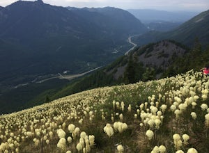
4.47.8 mi / 3176 ft gainThis hike has unreal views of Mount Rainier. On a great clear spring day, the mountain is out. It's right in your face. It's incredible. If you tackle this hike in the spring the bear grass and wildflowers are alive and blooming towards the top and it makes for some fantastic picture-taking. Once...Read more -
Gold Bar, Washington
Wallace Falls
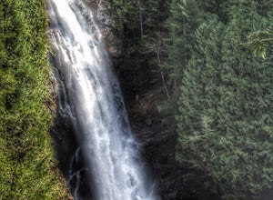
4.65.01 mi / 1404 ft gainThe trailhead is located at the far end of the parking lot, next to the info kiosk and bathrooms. It starts out in a wide-open area that shortly leads to stunning views of Mt. Index and Baring Mountain. The trail turns to the left and you're greeted by a beautiful Wordsworth quote carved into a t...Read more -
Gold Bar, Washington
Hike to Wallace Lake via Greg Ball Trail
4.58.2 mi / 1500 ft gainAn alluring State Park for its massive waterfall display, Wallace Falls is a high traffic destination along Highway 2, but don't overlook Wallace Lake as the falls steal the limelight. Head East on Highway 2, once you enter the town of Gold Bar keep on the lookout for the State Park signs and tu...Read more

