Washington
Looking for the best photography in Washington? We've got you covered with the top trails, trips, hiking, backpacking, camping and more around Washington. The detailed guides, photos, and reviews are all submitted by the Outbound community.
Top Photography Spots in and near Washington
-
Twisp, Washington
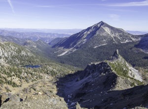
Backpack to West Oval Lake
14 mi / 4100 ft gainThe trail to West Oval Lake begins at the Eagle Creek Trailhead, outside of Twisp, Washington. Follow the Eagle Creek trail for 1.9 miles until the trail splits. Take the left fork for Oval Creek and Oval Lakes. The trail continues winding through thick forest for approximately 4 more miles befor...Read more -
North Bend, Washington
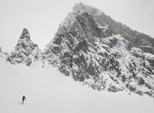
Ski or Snowshoe to Pineapple Pass
3.04.5 mi / 2000 ft gainSkiers or snowshoers looking to explore this route should park in the uppermost parking area at the Alpental ski area. This lot is past the main parking lot for the ski area. After getting your gear on, you can proceed down the groomed access run heading northwest out of the parking area. This ru...Read more -
Rockport, Washington
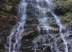
Photograph Ketchum Falls
0.2 mi / 1388 ft gain...After spending my 3 days exploring and capturing the partial lunar eclipse at North Cascades National Park in Washington, I was eager to find another adventure that I haven't done yet or others didn't know much about. As I was driving East leaving Gorge Creek Falls, .9 miles on my left I spott...Read more -
Friday Harbor, Washington
Hike through the American Camp
3 miFor what was once a highly contested and disputed piece of land in the Pacific Ocean, now lays home to one of the most peaceful, tranquil, and historic hikes in the island chain. Start the hike at the parking lot of the San Juan Island National Historic Site American Camp Visitor Center. Proceed ...Read more -
Winthrop, Washington
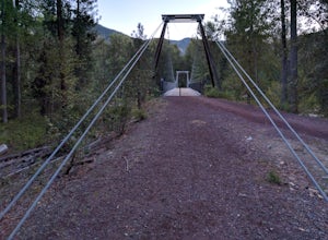
Hike to the Tawlks Foster Suspension Bridge
2 mi / 70 ft gainThe pin above is a small gravel parking lot which is clearly marked as "Trail Head" from the road. Once you park you are within eye shot of an information station and the trail is marked as "Suspension Bridge Access." Walk past this sign and continue on the well-groomed trail eastward for just sh...Read more -
North Bend, Washington
Middle Fork Snoqualmie River Trail
27.57 mi / 3609 ft gainThis beautiful tucked-away trail offers runners, hikers, and backpackers a new view of their favorite neighboring peaks - like Mailbox Peak and Mt. Si - from one of the most scenic river trails in the Seattle area. Often overlooked in favor of more rigorous hikes, the Middle Fork is a gently gra...Read more -
Ashford, Washington
Scramble to Tamanos Mountain
10 mi / 3000 ft gainSoon after entering Mt. Rainier National Park via the White River Entrance, pull into the Owyhigh Lakes Trail parking area. From the parking lot, walk across Sunrise Road to the Owyhigh Lakes Trailhead to begin an exceptional hike to the summit of Tamanos Mountain.Start by hiking 3.5 miles on the...Read more -
Loomis, Washington
Backpack the Pasayten Wilderness via Horseshoe Basin
5.020 mi / 3500 ft gainPlease consult with the Forest Service for current road and trail conditions, especially of your are planning a trip on the fringes of the season, i.e. early spring and late fall, as conditions may change without notice and this trail is a long ways from anywhere. When planning a trip to Horsesho...Read more -
Stehekin, Washington
Hike to Agnes Gorge in Stehekin Valley
5 mi / 300 ft gainIf you find yourself in Washington State's remote Stehekin Valley, which is situated at the head of Lake Chelan in the heart of the North Cascades, and is accessible by ferry, float plane, or hiking trail, Agnes Gorge is a must-do day hike from the High Bridge area. By hiking or by Stekekin Valle...Read more -
Bow, Washington
North Butte via Chuckanut Trail
1.07.71 mi / 2047 ft gainThe HikeThe hike there isn't short, has several steep sections, and ends at the top of the mountain. There are cliff warnings at the top, so be careful as you explore the view! The steepest portions are at the beginning and right at the end. The trail is very well maintained (because it is so pop...Read more -
Forks, Washington
Backpack the Hoh River to Tom's Creek Campground
6 miOlympic National Park plays host to some incredible things, including the Hoh Rainforest. Known for its long hanging moss and crystal clear waters, it's easy to see why this is a popular destination. Spring is the perfect time of the year to visit, the weather is mild and the park is almost empty...Read more -
Ashford, Washington
Snowshoe to Longmire Lookout
4.1 mi / 800 ft gainStarting at the Longmire Trailhead, cross the road and begin snowshoeing counter-clockwise on the Trail of Shadows. This first 0.5 miles begins the hike as a nice warm up where you can make sure your snowshoes are adjusted properly and stop from time to time to learn some facts from the interpre...Read more -
Leavenworth, Washington
Winter Camping in Leavenworth
It's an easy day hike to the Ridge of only 2.5 miles. On the ridge you can relax and enjoy the view of the surrounding mountains and a view of Leavenworth. I went into the Rangers office to ask for a good spot to take night time photos and this is one of the areas they suggested. Make sure you ge...Read more -
Snoqualmie Pass, Washington
Cooper Lake
The Owhi Campground on Cooper Lake is tucked away in the Okanogan-Wenatchee National Forest near Salmon La Sac. It sits at 2,788 feet and has views of Chikamin Peak (6960') and Lemah Mountain (7480'). The lake is quiet, very photogenic, and easily accessible. The campground is on the north si...Read more -
Mountlake Terrace, Washington
Kayak Lake Ballinger
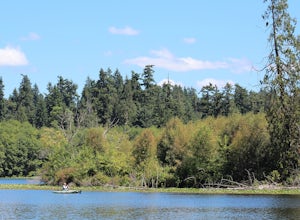
4.0Getting Here: Heading North on I5 from Seattle Center, take exit 178 for 236th Street SW and Lakeveiw Dr. Take a left on Lakeview Dr. and follow along for a half a mile before you see the Lake Ballinger Boat Ramp parking area on the left. There is a community park and rental facility on the noir ...Read more -
Darrington, Washington
Climb Sloan Peak via the Corkscrew Route
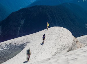
5.014 mi / 6035 ft gainYou'll start the approach to this climb at the Sloan Peak trailhead at 1800ft elevation. Moving south along the trail, you'll begin with a traverse through some marshlands and several water crossings along the Sauk River and its tributaries for the first mile and before gaining any elevation. It ...Read more

