Olympic, Washington
Looking for the best photography in Olympic? We've got you covered with the top trails, trips, hiking, backpacking, camping and more around Olympic. The detailed guides, photos, and reviews are all submitted by the Outbound community.
Top Photography Spots in and near Olympic
-
18113 Upper Hoh Road, Washington
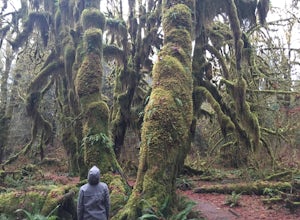
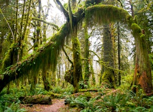
Hoh Rainforest and Hall Of Mosses
4.51.04 mi / 203 ft gainStarting at the Hoh Rainforest Visitor Center, take the only trail out into the forest itself. After a few hundred yards there will be a sign pointing you in the direction of the Hall Of Mosses. Follow signs and a very well-maintained trail over crystal clear creeks and fallen trees until you r...Read more -
Forks, Washington
Backpack the Hoh River Trail
5.035.69 mi / 5948 ft gainGrab a permit on your way in at the Wilderness Information Center (WIC) in Port Angeles or at the Quinault USFS/NFS Recreation Information center before parking at the Hoh Rain Forest Visitor Center and use the wash station and rest room before you head out on the trail. The first five miles of...Read more -
Forks, Washington
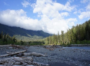
Hike the Hoh River Trail to Five Mile Island
10.6 mi / 300 ft gainOlympic National Park was established to preserve “the finest example of primeval forest” and so the Hoh Valley remains much like it has for thousands of years. This is the best trail to experience the magic of Hoh Valley, the grandeur of its old growth trees, lush understory and iridescent glaci...Read more -
Forks, Washington
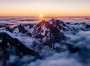
Climb Mount Olympus, Olympic NP
45 mi / 8000 ft gainGetting to the summit is no easy task. The approach is long, you must cross a glacier, and once you are to the summit block the easiest way up is on loose 4th class rock, however a short pitch of 5.4 rock is recommended instead. Getting there On your way to the trail-head you will need to stop a...Read more -
Forks, Washington
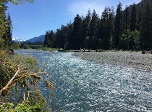
Backpack the Hoh River to Tom's Creek Campground
6 miOlympic National Park plays host to some incredible things, including the Hoh Rainforest. Known for its long hanging moss and crystal clear waters, it's easy to see why this is a popular destination. Spring is the perfect time of the year to visit, the weather is mild and the park is almost empty...Read more -
Sequim, Washington
Hike to Royal Basin
4.715.76 mi / 3409 ft gainIf you're looking for a long day hike or multi-night backpacking trip in the Olympics, add Royal Lake and Royal Basin to your adventure list! The first mile of trail along the Dungeness River gains a gentle 300 feet. When you reach the bridge, do not cross it (the trail across the bridge goes...Read more -
Montesano, Washington
Hike to Wynoochee Falls
0.4 mi / 100 ft gainLocated along FR-2270 (Google Maps calls it FR-2312) in Olympic National Forest, the trailhead is marked by a pullout and a pair of signposts but no sign. This area was formerly the Wynoochee Falls Campground. The trailhead is at the North end of the parking lot. This easy hike involves navigatin...Read more -
Mason County, Washington
Upper Lena Lake
5.012.61 mi / 4239 ft gainThe hike to Upper Lena Lake is a beautiful one. It first takes you past Lena Lake, which is a very popular weekend destination for families. Luckily you're pushing on to Upper Lena Lake that sits in a peaceful alpine meadow with Mt. Lena and Mt. Bretherton towering above. The first part of the t...Read more -
Hoodsport, Washington
Summit Mount Ellinor
4.83.08 mi / 2467 ft gainHikers who reach the summit of Mount Ellinor are treated to a rarer view of Olympic National Park, one that is notably more immersive, rugged and dynamic than the common vista from Hurricane Ridge. Ellinor’s profile is, no doubt, familiar to most Seattleites, as it’s the Olympics’ southernmost p...Read more -
Brinnon, Washington
Camp at the Dose Forks
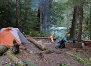
15 mi / 1200 ft gainThe Dose Forks Campground is an overlooked campsite deep within the Olympic National Park, making it a perfect weekend camping destination. A mild, 7.5 mile (one-way) trail delivers you to this enchanting area and is a must for those who love photographing forests. There are no reservation requir...Read more -
Port Angeles, Washington
Mount Storm King
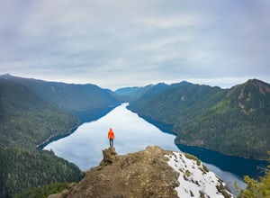
4.73.91 mi / 2251 ft gainThe trailhead is located right next to the Storm King ranger station adjacent to Lake Crescent right off Hwy 101 just past Port Angeles if heading West. It shares the same trail as, and breaks off left from the Marymere Falls trail (also worth seeing) about a quarter mile in (look for signage). ...Read more -
Port Angeles, Washington
Marymere Falls
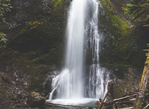
4.31.93 mi / 531 ft gainMarymere Falls (90 ft.) is located in Olympic National Park, near Lake Crescent. The falls can be accessed by a short, well-maintained dirt trail through old-growth lowland forest consisting of fir, cedar, hemlock, and alder trees. The creek descends from Aurora Ridge and tumbles over Marymere Fa...Read more -
Amanda Park, Washington
Walk along the Maple Glade Rain Forest Trail
0.49 mi / 56 ft gainThe Quinault Valley receives an average of 12 feet of rain per year which maintains the temperate rain forest ecosystem. The Quinault Rain Forest is located within the Olympic National Park and is located on the N. Shore Road about 6 miles off of HWY 101. Once you arrive to the ranger station y...Read more -
Hoodsport, Washington
Climb Mt. Washington
3.5Follow the driving directions, pass the upper Mt Eleanor parking area and continue until the road dead-ends due to a landslide. Try to leave room for cars to turn around when you park.Follow the trail which starts just near the lake boulder near the parking area. The trail through the lower slope...Read more -
Quilcene, Washington
Buckhorn Mountain
12.26 mi / 4429 ft gainThe climb to Buckhorn Mountain above Marmot Pass is a must see for every PNW adventurer with the endurance to tackle nearly 14 miles and 4,400 feet of gain. Listen to the rushing waters of the Big Quilcene River as the trail gently traverses up 5.5 miles to Marmot Pass. Be sure to filter water ...Read more -
Hoodsport, Washington
Snowshoe Mt. Ellinor's Winter Route
5 mi / 4500 ft gainYou can stat this adventure at one of two trailheads. I suggest using the lower of the two. The start of the trail ascends through a forest of old growth pines with periodic views of Mt Washington. Eventually, at a fork in the trail, you will see a sign marking the start of the winter route. You ...Read more

