Olympic Peninsula, Washington
Top Spots in and near Olympic Peninsula
-
Mason County, Washington
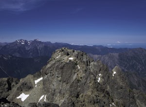
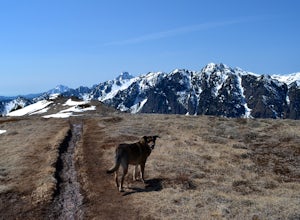
The Brothers is a notable peak on the border of Olympic National Park. The dual summits are a distinguishing feature of the Olympic Range, viewed from Seattle. This is a challenging route, testing a climber's route finding skills, physical fitness, and mental fortitude. From the parking lot, you ...
Read more
-
Forks, Washington
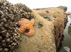
Parking at Kalaloch Beach 4 provides an easy walk to Olympic National Park's infamous tidal pools. With the correct tide schedule you will be able to explore and see ocean life such as starfish and sea anemones up close and personal. Kalaloch Beach 4 isn't the only place to explore tidal pools. Y...
Read more
-
-
Forks, Washington
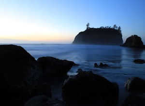
If you’re looking for a mellow day at the beach, this is a great spot! There’s an easy path from the parking area down to the beach that’s less than 0.25 miles, so it’s not too difficult to the things you may want or need. Just north of the parking area, there’s a series of tide pools to explore....
Read more
-
Brinnon, Washington
The Dose Forks Campground is an overlooked campsite deep within the Olympic National Park, making it a perfect weekend camping destination. A mild, 7.5 mile (one-way) trail delivers you to this enchanting area and is a must for those who love photographing forests. There are no reservation requir...
Read more
-
Quilcene, Washington
5.0
10.5 mi
/ 3481 ft gain
This trail has a nice, steady climb that's perfect for beginner or intermediate backpackers. The first 2.5 miles follow a forest trail along the Big Quilcene River. For the next 3 miles, the trail flows in and out of shaded trees, over a small talus field, and through a meadow before the final ac...
Read more
-
Quilcene, Washington
The climb to Buckhorn Mountain above Marmot Pass is a must see for every PNW adventurer with the endurance to tackle nearly 14 miles and 4,400 feet of gain. Listen to the rushing waters of the Big Quilcene River as the trail gently traverses up 5.5 miles to Marmot Pass. Be sure to filter water ...
Read more
-
Quilcene, Washington
The secret to this trip: Marmot Pass and Boulder Shelter, where you can camp on National Forest Service land. Multiple excellent, large backpacking sites sit just on the edge of the National Park, giving you great access to Mt. Constance and Mt. Deception, two of the tallest peaks in the Olympics...
Read more
-
National Forest Development Road 2530, Washington
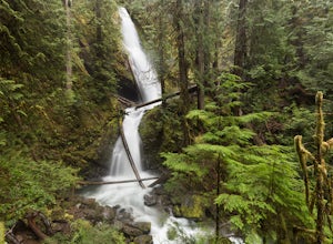
The trailhead to Murhut Falls is located about 7.5 miles off US-101 S but the last couple of miles are on NF-2530 which can be potholed and rutted. I made it up the road in my 2WD sedan but it took quite some time to dodge all of the potholes.
This hike is nice and quick! It starts with a small ...
Read more
-
Quilcene, Washington
There are four trailheads that guide you to the top of Mount Townsend, but the most popular choice is to begin at the Upper Trailhead Trail #839 (snow permitting).
The trail gradually climbs while traversing through forested area. While walking through the fir and hemlock trees, you pass three ...
Read more
-
Mason County, Washington
Located about 20 minutes outside of Shelton, Washington on US Forest Service Road NF-2340. To get there, head North on Highway 101 and exit onto W Skokomish Valley Rd. about 12 miles (or 20 minutes) after passing Shelton.
W Skokomish Valley Road will take you through a beautiful area of farml...
Read more
-
Lilliwaup, Washington
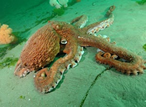
Located in Washington State on the west shore of the Hood Canal, Mike's Beach Resort is a unique family run establishment offering waterfront cabins and rooms. Perfectly placed between the popular shore dives to the south like Octopus Hole, and Jorsted Creek, and the dynamic boat dives to the nor...
Read more
-
Brinnon, Washington
While this hike does not provide any sort of fantastic views, its does provide an easy ~13 mile roundtrip hike from the trailhead to a parking lot for the Upper Big Quilcene Trail which leads to Marmot Pass. Along the way you will cross several bridges, some large and wide, other simple log bridg...
Read more
-
Sequim, Washington
Park at a the north side of the Dungeness Spit Recreation Area, in the Refuge parking lot. There is a kiosk at the Refuge where you can pay an entrance fee ($3) and check the Tide Table. Only attempt the hike at low tide or the sand spit becomes narrow and you have to climb over logs.Follow the R...
Read more
-
Brinnon, Washington
4.8
0.25 mi
/ 141 ft gain
To find the falls, head north up Hwy. 101 past Brinnon, Washington and hang a left at Dosewallips Rd. Keep an eye on the mile markers. Right after mile three and crossing a small bridge, there's a parking area on the left side enough for about 6 cars.
The hike to Rocky Brook Falls is a short on...
Read more
-
27662-27664 Olympic Highway, Washington
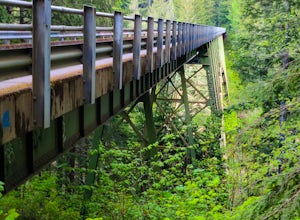
This hike is located immediately off of Highway 101 in the Falls View Campground. If the campground is closed you can park right outside of the gate (but don't block it) and hike in. Inside the gate you will see 3 paths in front of you, take a left and after about a quarter mile you will reach th...
Read more

