North Cascades, Washington
Top Spots in and near North Cascades
-
Deming, Washington
Arrive at the upper ski resort parking lot (approx. 4300 feet elev.) and snowshoe, skin, or split board up. Make your way toward Artist Point and halt at Austin Pass, gaining approximately 1200 feet of elevation over approximately 2 miles (one way). From Austin Pass, turn left (south) to take the...
Read more
-
Deming, Washington
Set within the Mount Baker hiking wonderland, the Fire & Ice Trail may be the easiest and most family friendly hike set within the park. About ½ mile beyond the Heather Meadows Ski Area and about a mile before Artists Point, you’ll encounter the sign for the Austin Pass Picnic Area. It’s a ra...
Read more
-
Deming, Washington
Set within the Mount Baker hiking wonderland, the Bagley Lakes trail is an easy, family-friendly hike with alpine lakes, copious amounts of wildflowers, and striking views of Table Mountain. Compared to the notoriety of many of the other hikes within the area, this is a hidden gem. There are actu...
Read more
-
Deming, Washington
This hike starts out at Artist Point, where already you can see jaw-dropping scenery of Mt. Shuksan, Baker, Coleman, and many other peaks of the North Cascades. No matter what time of year you visit, you are bound to get unbelievable views and photos.Artist Point is the furthest destination along...
Read more
-
Deming, Washington
The hike takes off from the Artist Point parking lot at an elevation of 5,220 feett.The trail slowly meanders up for a while until reaching the final steep switchbacks where you'll have a sheer cliff to your side—don't let it distract you, and keep focused on the trail in front of you!Once you've...
Read more
-
Deming, Washington
Directions are from Bellingham. Drive Sr 542(Mt Baker Highway) approximately 60 miles to the parking area at Artist Point, elev. 5140 ft. Try to park towards the southwest corner of the lot as this is where our trail begins. Toilets are available.The trail starts from the southwest corner of t...
Read more
-
Deming, Washington
Note that Artist Point is only accessible by car during the summer - it is closed off from cars as of First Snowfall (end of September) through June.The parking lot of Artist Point is only about an hour and fifteen minute drive from the city of Bellingham, WA. The beautiful and peaceful road that...
Read more
-
Deming, Washington
5.0
5.5 mi
/ 1200 ft gain
From the south end of the ski area, snowshoe past an old ski lodge along an old access road parallel to the ski hill. Then, ascend Austin Pass (2 miles) following the broad switchbacks. Once at the top of the ridge, follow the road to the left 1/4 mile and take in the views of Artist Point, Mou...
Read more
-
Deming, Washington
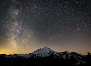
A couple things must coincide for you to have a great time watching the milky way at Artist Point. The road up to Artist is only open during the summer and early Autumn months but it's always good to check on the Washington State Department of Transportation website to see current road conditions...
Read more
-
Concrete, Washington
The drive up to the starting point of the trail to Anderson and Watson Lake was easy, but at the end it gets a little tricky - the service road is sharp gravel and runs for about 10 miles to the trailhead. Some spots are steep and there are large potholes, but slow and steady wins the race. There...
Read more
-
Rockport, Washington
5.0
9.34 mi
/ 5046 ft gain
Going east from Newhalem on highway 20, turn off towards the small town of Diablo. There are signs from there on where to park.
This hike is very difficult. It is very steep and gains elevation very quickly and right from the start. Once you get above tree line though you are greeted with great ...
Read more
-
Concrete, Washington
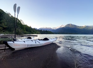
Just over 2 hours northeast of Seattle, Baker Lake is an often overlooked gem of the North Cascades. With 8+ miles of turquoise green water to explore, Baker Lake makes for a great day trip or overnight trip, with plenty of backcountry boat-in campsites and sandy beaches along the shore.
You can...
Read more
-
Rockport, Washington
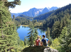
Day hike with moderate elevation gain, 2.1 miles one way. You will be going up, up, up until you get to the top where you will find the lake. Take your time going up - take breaks and stop to check out the forest around you. There were a few times where we found it difficult to follow the trail (...
Read more
-
Concrete, Washington
The Trail
From the parking area proceed back towards the road and hang a right up an abandoned road bed. The trail follows this road bed for a about 0.2 miles before the real trail becomes evident. The first 0.5 - 1.0 miles of this trail can be difficult. Deadfall, wet, steep, and root covere...
Read more
-
Concrete, Washington
Turn left off of the Grandy-Baker Lake Road onto FS RD 1130 just past the Boulder Creek Campground. Stay right at the first fork in the road. At 3.9 miles go right towards Rainbow Falls. The falls are located at a large bend in the road at approximately 4.5 miles. I have never found a good safe...
Read more
-
Whatcom County, Washington
4.8
3.28 mi
/ 1335 ft gain
Winchester Mountain is said to have the greatest reward for least amount of effort in all the North Cascades. One of the last fire-lookouts in the region stands on the summit. Views from the summit of Winchester Mountain are beautiful and dramatic to say the least. Being one of the easiest hikes...
Read more

