North Bend, Washington
Top Spots in and near North Bend
-
Enumclaw, Washington
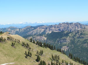
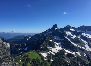
Crystal Peak Trail
7.49 mi / 2966 ft gainMake sure you are going out on a clear day to catch the best views of the mountains, and bring your camera! From the summit, it’s possible to see six volcanoes spanning two states. Baker, Glacier, Adams, Rainier, St. Helens and Hood wait patiently for you to climb the more-than-moderately steep p...Read more -
Granite Falls, Washington
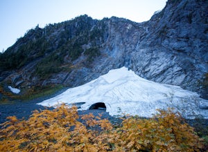
Big Four Ice Caves
4.32.38 mi / 289 ft gainDisclaimer: Hiking into the caves is extremely dangerous as there is potential for the ice to fall. We do not recommend hiking inside of them and if you choose to do so, you're doing it at your own risk. This is a short hike at just 2.3 miles roundtrip with little elevation change. The hike take...Read more -
Granite Falls, Washington
Snowshoe to Coal Lake
13 mi / 1600 ft gainhttps://www.theoutbound.com/wa...Starting out at the Deer Creek gate of Mountain Loop Highway the road is flat and uneventful for the first 2 miles or so, though it does offer some great views of the Big Four as well as a few other peaks and the babbling south fork of the Stillaguamish river. The...Read more -
Ashford, Washington
Summit Mount Ruth, Mt. Rainier NP
10.8 mi / 5090 ft gainMount Ruth presented a challenge as it was a very hot day to be exposed on a ridge for the entire day. The trek begins in White River Campground parking lot and travels along the White River until you exit at Glacier Basin. Crossing the creek you ascend up to the ridge that leads up and up and up...Read more -
Ashford, Washington
Camp at White River in Mount Rainier NP
Getting There From Seattle: Head East on I90 to 405 South, Take the exit for 169 heading towards Enumclaw. I recommend stopping for a bite at the down home, family restaurant called Kitchen in downtown. The food was great with lots of local flavors! Continue on 169 where you will jump on Highway ...Read more -
Leavenworth, Washington
Hike to Minotaur Lake
5.0This short, steep hike offers rewarding views that is well worth the vertical challenge. Round trip this hike is only 3.5 miles but you will gain 1400 feet elevation in the first mile.The trail starts off with switchbacks that head straight up the hill then about 200 feet from the wilderness boun...Read more -
Granite Falls, Washington
Dispersed Camp near Beaver Creek Group Camp, Mt. Baker Snoqualmie NF
This campsite is located along the Mountain Loop Highway. There are various options for dispersed camping around the area, as well as some you can reserve ahead of time such as the Coal Creek Campground and the Beaver Creek Group Campground. This campsite is located just before Beaver Creek grou...Read more -
Darrington, Washington
Camp at Goat Lake
4.310.4 mi / 1400 ft gainIf you just loved your day hike to Goat Lake so much that you want to return and spend some more time, you're in luck - the lake offers a camping area that holds at least 15 campsites and even comes with a pit latrine. This is a great overnight option if you aren't looking for a difficult hike in...Read more -
Darrington, Washington
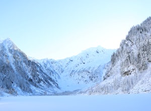
Winter Hike to Goat Lake
4.010.4 mi / 1400 ft gainThis trail is a perfect winter hike for the average outdoorsmen. Be warned that the most difficult part of this hike is getting to the trailhead in winter. The Mountain-loop highway can be a dangerous drive with black ice, snow, and serious potholes along the way. Take proper precautions like cha...Read more -
Darrington, Washington
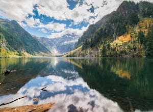
Hike to Goat Lake
4.510.4 mi / 1400 ft gainThe trail starts by lazily winding through beautiful forest. Fairly quickly, you'll reach a fork for the Upper and Lower Elliot Creek Trails. Both will take you to Goat Lake in about the same distance (~3 miles), but each offers a different take on the area. The lower trail winds along as it foll...Read more -
Granite Falls, Washington
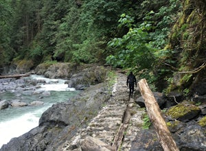
Old Robe Canyon Trail
3.69 mi / 771 ft gainNOTE: The trail is currently closed about 1 mile in due to landslides. This trail starts right off the Mountain Loop Highway outside of Granite Falls. Look out for a brick sign with the trail name, as it's easy to miss otherwise. There's parking next to the highway, but since there is a history...Read more -
Ashford, Washington
Scramble to Tamanos Mountain
10 mi / 3000 ft gainSoon after entering Mt. Rainier National Park via the White River Entrance, pull into the Owyhigh Lakes Trail parking area. From the parking lot, walk across Sunrise Road to the Owyhigh Lakes Trailhead to begin an exceptional hike to the summit of Tamanos Mountain.Start by hiking 3.5 miles on the...Read more -
Ashford, Washington
Summerland Trail
5.08.62 mi / 2359 ft gainThe Summerland trail is by far the easiest trail that I ever experienced. The trail is well maintained and for the first 3 miles you are surrounded by trees and the sound of waterfalls and rivers, and it's green everywhere. The last 1.3 miles, you encounter switchbacks and you can get some view...Read more -
Ashford, Washington
Hike to Mount Rainier's Panhandle Gap
5.012 mi / 3000 ft gainThe trail is 12 mi round trip but don’t let the distance for an out and back turn you off - this hike is fantastic and even better with a beer at the top. The trail winds its way through an old growth forest and shortly joins the Wonderland Trail. After crossing a crick the trail steepens and beg...Read more -
Ashford, Washington
Climb Little Tahoma/East Shoulder
17 mi / 7450 ft gainStart from the Summer Land Trail Head at the Fryingpan Creek parking lot just West of the White River Ranger Station in Mount Rainier National Park. Beginning at an elevation of 3,800 feet, you'll head southeast along the Summer Land Trail for 4.5 miles, tracing the Fryingpan Creek. There are a f...Read more -
Leavenworth, Washington
Hike to the Summit of Rock Mountain, WA
5.011 mi / 4175 ft gainThe trail starts out poorly, following a jeep road under high-tension wires. Shortly, though, the trail begins to switchback up the south face of Rock Mountain and the views, as well as the wildflowers, are remarkable.After switchbacking up the mountain, follow a ridge-line towards the upper basi...Read more

