Newcastle, Washington
Top Spots in and near Newcastle
-
Edmonds, Washington
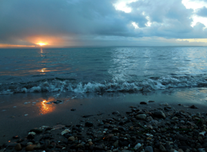
Hike to Meadowdale Beach
5.0If you plan to hike to this beach on the weekend, arrive early because the parking lot fills up fast. From the trailhead, hike down through an old forest along a stream to reach Meadowdale Beach Park. Take in the sounds of birds, wildlife, and the stream adjacent to the trail. At one mile you wil...Read more -
Gig Harbor, Washington
Run through Point Defiance Park
5.04.3 miPoint Defiance Park is the largest urban park in Pierce County and it provides a variety of amenities. Located at the very northwest tip of Tacoma, the park provides residents with a much needed retreat from the bustle of everyday life. Point Defiance Park is the place to go if you need a quick d...Read more -
North Bend, Washington
Hike Mount Washington
4.32.89 mi / 3058 ft gainYou start out at an elevation of about 1200 feet and you gradually make your way up to the top at 4450 feet. You are hiking through forest land the whole time with peaks of a beautiful view to the north every so often. Along the way there are many rock walls which you can climb at, however on our...Read more -
North Bend, Washington
Sport Climbing at Exit 38, Deception Crags Area
4.0Sport Climbing at Exit 38, the Deception Crags Area, is an amazing area to climb within 1/2 hour drive of downtown Seattle. It is an amazing resource for climbers living in Seattle, as during the spring, summer, and fall, it can be reached quickly afterwork, with minimal traffic.There are 5 disti...Read more -
Gig Harbor, Washington
Kayak Gig Harbor
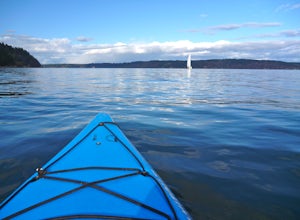
3.0Just over the Tacoma Narrows Bridge is a small, quiet, and tranquil town of Gig Harbor. The best way to experience the town is from the water.Tucked beneath Anthony's restaurant is Gig Harbor Rent-a-Boat, a small rental company that will outfit you for your afternoon on the water. Most days the ...Read more -
North Bend, Washington
Swim in the South Fork of the Snoqualmie River
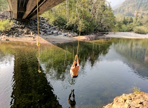
5.0You can reach this area off I-90. Take exit 38. If you are coming from the west (Seattle) take a right after exiting the highway and continue for about 2 miles. You will drive under I-90 and then come to a parking area. This is it! If you are coming from the east it's even easier, turn right...Read more -
North Bend, Washington
Hike Pratt Balcony
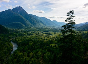
2.2 miThis one can be a bit tricky to find. The trailhead is unmarked and is a bit hidden around a curve of Middle Fork Road so it is easy to miss. At about 9.80 miles from the junction of 468th St. and Middle Fork Road, look for two signs on the right warning of upcoming gravel patches (probably will ...Read more -
North Bend, Washington
McClellan Butte
5.010.61 mi / 3629 ft gainStarting at the McClellan's Butte Trailhead, right off of I-90 exit 47, head out on the main (only) trail at the trailhad. The first half mile of the trail is quite easy as it meanders through the forest, but don't be fooled or worried, it will get harder. This first half mile has a crossing of a...Read more -
North Bend, Washington
Summit Mt. Defiance
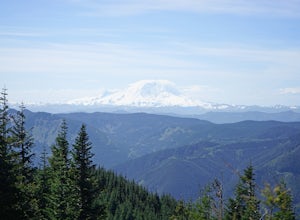
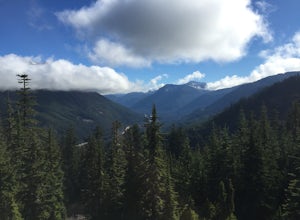
5.011 mi / 3300 ft gainThis hike offers some of the best views one can see in the area. On a clear day, you'll get amazing views of Mt. Rainier. The best part is that as you start heading uphill in the first half mile, you'll get great views of McClellan Butte. Once you reach the summit of Defiance at 5584 feet, you'll...Read more -
North Bend, Washington
Bandera Mountain
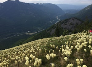
4.47.8 mi / 3176 ft gainThis hike has unreal views of Mount Rainier. On a great clear spring day, the mountain is out. It's right in your face. It's incredible. If you tackle this hike in the spring the bear grass and wildflowers are alive and blooming towards the top and it makes for some fantastic picture-taking. Once...Read more -
North Bend, Washington
Mason Lake via Ira Spring
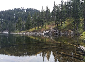
4.26.88 mi / 2316 ft gainIra Spring trail offers up great views prior to reaching the ridge that you go over to reach Mason Lake. The lake itself is an amazing sight—beautiful water with rocks and trees along the shores, making this 6.5-mile roundtrip hike well worth it. The trail to Mason Lake, the Ira Spring trail, pr...Read more -
North Bend, Washington
Camp and Trail Run from Rainbow Lake
I backpacked to and setup basecamp at Rainbow Lake and then I ran over to Island Lake. After enjoying the peace and quite I ran up to the top of Bandera Mountain and enjoyed the views. Then, I ran back to basecamp and spent the night. The following morning I ran up to the top of Mount Defiance a...Read more -
North Bend, Washington
Middle Fork Snoqualmie River Trail
27.57 mi / 3609 ft gainThis beautiful tucked-away trail offers runners, hikers, and backpackers a new view of their favorite neighboring peaks - like Mailbox Peak and Mt. Si - from one of the most scenic river trails in the Seattle area. Often overlooked in favor of more rigorous hikes, the Middle Fork is a gently gra...Read more -
North Bend, Washington
Otter Falls
4.08.37 mi / 853 ft gainThe hike begins at Snoqualmie Lake Trailhead, but you'll actually have to start your hike about a half mile down the road from the trailhead as some cement barricades are up. There is plenty of room to park below the barricades, and the walk up to the trial head is easy and quick. Once at the tr...Read more -
North Bend, Washington
Rainy Lake Trail
4.09 mi / 3205 ft gainThis is an abandoned trail that heads south along Rainy Creek, off of the downstream section of the Middle Fork Snoqualmie Trail, and up to Rainy Lake. The lake is popular among fisherman, since it is home to lots of trout, but be warned -- route-finding skills are a must on this trip. I do my be...Read more -
Gold Bar, Washington
Scramble up Mt. Persis
4 mi / 2658 ft gainThere isn’t a clearly designated trail to start this scramble/hike. Look for the trail that more resembles a boot path. The trail won’t be well marked, but there might be some orange tape or markers to help you find your way.During the first mile of the hike, you’ll see the most elevation gain, s...Read more

