Neah Bay, Washington
Top Spots in and near Neah Bay
-
Port Angeles, Washington
Ancient Groves
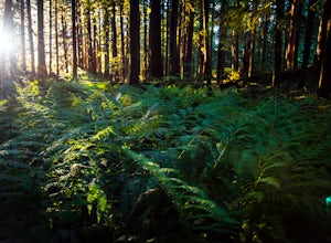
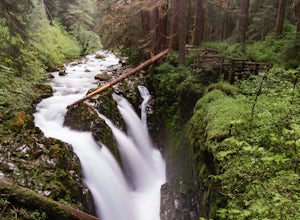
5.00.49 mi / 105 ft gainGreat little hike to explore while in the Sol Duc area. I would strongly recommend doing this hike near sunset as the sun will stream through the trees and light everything up in a beautiful glow. The hike will take you to a cliff edge to walk along and get views of the Sol Duc river below. Ver...Read more -
Sooke, British Columbia
Hike and Swim at Sooke Potholes
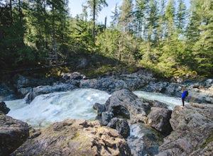
4.2The Sooke Potholes seem to have something for everyone. Those seeking quick and easy beach access can enjoy short, well-groomed trails that lead straight to the pebble beaches from each of this spot’s multiple parking lots. There are also a number of paths leading to viewpoints overlooking the ri...Read more -
Port Angeles, Washington
Spruce Railroad Trail
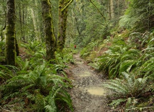
3.011.36 mi / 1138 ft gainThis versatile trail can adapt to your needs. It's can be an out-and-back hike, so you can make it as long as you like. If you do full distance, you are looking at an 8 mile day... OR, if you have two cars, you can park a car at either end of the trail and make it a 4 mile one-way hike. This des...Read more -
Port Angeles, Washington
Kayak Lake Crescent
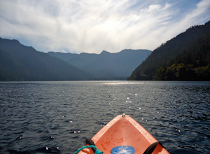
4.0From the Log Cabin Resort located on the east shore of Lake Crescent, rent a kayak and spend the day on the water! My husband and I rented a kayak on our honeymoon for a day and explored half of the lake staying close to the east shore.You can see the bridge for the Spruce Railroad trail on the ...Read more -
Sooke, British Columbia
Hike Mount Manuel Quimper
The Sooke Hills is a geographic region of low hills with elevations between 350m (Mt. Wells) to a high of 682m (Mt. Empress), located in the area bounded on three sides by Highway 1 to the east, Highway 14 to the south and the Sooke River to the west. Though heavily logged 100+ years ago, in the ...Read more -
Port Angeles, Washington
Mount Storm King
4.73.91 mi / 2251 ft gainThe trailhead is located right next to the Storm King ranger station adjacent to Lake Crescent right off Hwy 101 just past Port Angeles if heading West. It shares the same trail as, and breaks off left from the Marymere Falls trail (also worth seeing) about a quarter mile in (look for signage). ...Read more -
Port Angeles, Washington
Marymere Falls
4.31.93 mi / 531 ft gainMarymere Falls (90 ft.) is located in Olympic National Park, near Lake Crescent. The falls can be accessed by a short, well-maintained dirt trail through old-growth lowland forest consisting of fir, cedar, hemlock, and alder trees. The creek descends from Aurora Ridge and tumbles over Marymere Fa...Read more -
Port Angeles, Washington
Camp at Salt Creek
4.0This county park is great for day use or overnight camping. Half the campsites are about 20 feet from the water, so you can hear waves crashing on the rocks as you sleep.A short walk from all the sites going east, you will end up at a large field with picnic tables and a playground for kids (visi...Read more -
Sooke, British Columbia
Hike East Sooke Park
Sitting very close to the southernmost point of Vancouver Island, facing west towards the mouth of the Strait of Juan de Fuca and the open Pacific Ocean, East Sooke Park is a unique and magical place for a hike or trail run. Your first visit will spark the desire to keep returning, to keep explor...Read more -
Port Angeles, Washington
Sol Duc Falls and Deer Lake
4.67.17 mi / 1729 ft gainThe hike to Sol Duc Falls is a simple 0.8 mile walk to a roaring falls on the Sol Duc River. If you’re up for more of a hike, continue on the trail to Deer Lake from Sol Duc Falls. At the fork in the trail, turn left and hike up away from the Lover's Lane Trail. The trail steepens and the rocky ...Read more -
Port Angeles, Washington
High Divide and 7 Lakes Basin
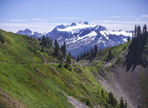
5.019.93 mi / 5056 ft gainA day spent plying the trails of the High Divide in Olympic National Park changes an outdoorsman. This moderate to strenuous loop boasts the best views on the peninsula, a chance to see foraging black bears and abundant deer, stunning waterfalls and marvelous old growth forests. By the time you f...Read more -
Forks, Washington
Explore Ruby Beach
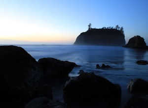
5.0If you’re looking for a mellow day at the beach, this is a great spot! There’s an easy path from the parking area down to the beach that’s less than 0.25 miles, so it’s not too difficult to the things you may want or need. Just north of the parking area, there’s a series of tide pools to explore....Read more -
Forks, Washington
Backpack the Hoh River Trail
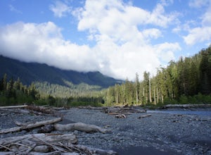
5.035.69 mi / 5948 ft gainGrab a permit on your way in at the Wilderness Information Center (WIC) in Port Angeles or at the Quinault USFS/NFS Recreation Information center before parking at the Hoh Rain Forest Visitor Center and use the wash station and rest room before you head out on the trail. The first five miles of...Read more -
Forks, Washington
Hike the Hoh River Trail to Five Mile Island
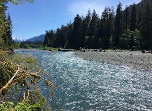
10.6 mi / 300 ft gainOlympic National Park was established to preserve “the finest example of primeval forest” and so the Hoh Valley remains much like it has for thousands of years. This is the best trail to experience the magic of Hoh Valley, the grandeur of its old growth trees, lush understory and iridescent glaci...Read more -
Forks, Washington
Climb Mount Olympus, Olympic NP
45 mi / 8000 ft gainGetting to the summit is no easy task. The approach is long, you must cross a glacier, and once you are to the summit block the easiest way up is on loose 4th class rock, however a short pitch of 5.4 rock is recommended instead. Getting there On your way to the trail-head you will need to stop a...Read more -
Forks, Washington
Backpack the Hoh River Trail to Blue Glacier
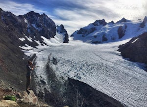
5.035.68 mi / 5948 ft gainThe well trodden and well marked trail begins in the rainforest, and is flat and follows the river for the first few miles. There are many marked camp sites along the way, as well as dispersed camping on the sand bars in the river bed. Follow the trail until the first major intersection, at the O...Read more

