Mountlake Terrace, Washington
Looking for the best hiking in Mountlake Terrace? We've got you covered with the top trails, trips, hiking, backpacking, camping and more around Mountlake Terrace. The detailed guides, photos, and reviews are all submitted by the Outbound community.
Top Hiking Spots in and near Mountlake Terrace
-
North Bend, Washington
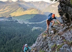
Scramble Guye Peak
4.5 mi / 2200 ft gainThere are quite a few ways up Guye Peak ranging from a simple walk up to multiple pitches of technical rock climbing. Both of the routes described here start from the PCT parking lot north of exit 52 of I-90 at Snoqualmie Pass. Some of the scrambling described would be treacherous in wet or sno...Read more -
North Bend, Washington
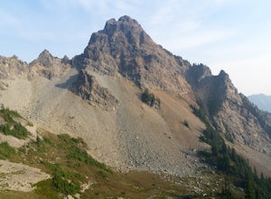
Climb Mount Thomson
16 mi / 4500 ft gainThe West Ridge of Thomson is rated 5.6 and is 4-5 pitches depending on how you break it up. The East Ridge is some spicy 4th class and although people do scramble it, it is recommend to use a rope on the descent. The Approach Starting at the PCT trail-head you have two options. You can take the ...Read more -
Skykomish, Washington
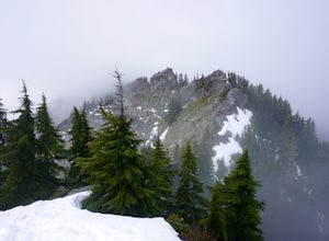
Beckler Peak
7.55 mi / 2139 ft gainLooking for a gradual forest hike up to a peak with 360° views of the Cascades? Beckler Peak trail winds through old growth, past rushing waterfalls, and up to a granite summit. From the top, you can see mountains in the Cascades such as Glacier Peak, Mount Baring, Mount Index, Evergreen Mounta...Read more -
Anacortes, Washington
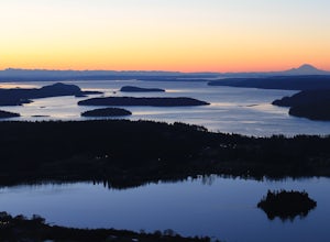
Hike to the Summit of Mt. Erie
4.05 mi / 900 ft gainTo start this hike, jump on trail 215 for a short distance of about a 1/4 mile. From here, continue until you cross trail 320 and head left onto it. Stay on 320 until you come across trail 230.Take 230 uphill (resembles an old fire road) toward the ravine just above a creek. From here, head onto ...Read more -
Snoqualmie Pass, Washington
Hike Mount Catherine
5.03 mi / 1300 ft gainStart off on the extremely rough Forest Service 9070 road. Follow this for just over 4 miles until you see a sign for trail #1348 on the right. There is only enough room for a couple cars at the trailhead.You start off climbing right away, covering 800 feet of elevation in the first 0.80 miles of...Read more -
Snohomish County, Washington
Hike Johnson Ridge to Scorpion Mountain
9 mi / 2650 ft gainFrom Skykomish, WA drive east on SR 2 roughly 1 mile and turn left on the Beckler River Road, FS RD 65. Drive north on this road approximately 7 miles taking a sharp right at the pavement's end just before crossing the Rapid River. You are now on FS RD 6520. Continue on this road bearing left a...Read more

