Lyle, Washington
Top Spots in and near Lyle
-
Mount Hood, Oregon
McNeil Point via Top Spur Trailhead
4.97.17 mi / 2428 ft gainThe hike to McNeil Point begins at Top Spur Trailhead, in the Mt. Hood National Wilderness. Follow signs for McNeil Point along the Pacific Crest and Timberline Trails heading north. Though there are numerous camping opportunities along the way (most of the route follows the PCT), an old stone s...Read more -
Mount Hood, Oregon
Hike to Sandy Glacier Caves
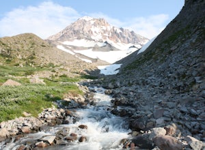
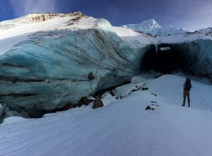
4.512.5 mi / 2800 ft gainThe hike to the caves begins at Top Spur Trailhead. The hike to McNeil Point is 5.4 miles one way, and 2200 feet of elevation gain. The trail starts in the forest, but will eventually open up to views of Mt Hood, as well as St. Helens, Adams and Rainier on a clear day.There is a shortcut up to Mc...Read more -
Mount Hood, Oregon
Timberline Loop Trail via the Top Spur Trail
4.02.26 mi / 627 ft gainStarting at the parking area, cross the dirt road to start hiking up from the Top Spur Trailhead. In 0.4 miles you will reach the Pacific Crest Trail intersection, take a right onto the Pacific Crest Trail. In a couple hundred feet you will reach a larger intersection of a bunch of different trai...Read more -
National Forest Development Road 3550, Oregon
Snowshoe/Ski Bennett Pass Sno Park
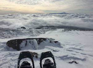
5.1 mi / 900 ft gainWith easy parking right off Hwy 35 on the east side of Mt Hood, Bennett Pass is a perfect destination for a straightforward lap on cross country skis, snowshoes or accessing easy backcountry terrain for skiers and boarders. Bennett Pass Road is a well-graded 5.1 mile out-and-back with several tr...Read more -
Yakima County, Washington
Mount Adams Circumambulation
35.1 mi / 8881 ft gain***Before you go on this trek, give the Yakama Nation a call and talk to a Ranger to make sure the trail is open to backpackers or hikers.*** 1-509-865-5121 or 1-509-395-3402 There are a few places you can start this adventure, but starting from the South Climb Trail Head and Cold Spring Campgrou...Read more -
Government Camp, Oregon
Climb the Mt. Hood Summit
4.87 mi / 5239 ft gainStarting at 6,000 ft of elevation at Timberline Lodge, start your climb up the south side of Mt. Hood. If you head out at noon, in 6 hours you can make it about an hour past the last ski lift, called Palmer, where you can set up camp for the night. You may need to dig out a flat spot for your ten...Read more -
Government Camp, Oregon
Hike Paradise Park
5.012 mi / 2300 ft gainThe hike begins at Timberline Lodge, which sits on Mount Hood at 6,000 feet of elevation. Find the Timberline trail behind the lodge by following any of the maze of trails heading east and you will be on your way! After 1.2 miles, you reach Little Zigzag Canyon where you will descend approximatel...Read more -
Government Camp, Oregon
Climb to Mt. Hood's Illumination Rock
5.06 mi / 3600 ft gainThe Pacific Northwest has an abundance of beautiful, technical and fun Alpine ascents. For those looking to feel the rush of mountaineering but not wanting to push for a summit attempt, Illumination Rock on the southwest ridge of Mt Hood, offers a beautiful way to spend an afternoon or potential...Read more -
Government Camp, Oregon
Snowshoe to the top of Mount Hood's Palmer Ski Lift
4 mi / 2560 ft gainEnding just a few thousand feet shy of the mountain top, Palmer Lift doesn't start operating until most ski resorts are nearing their close. This leaves most of the mountain nearly uninhabited and ideal for exploring with close up views of the complex summit above and well into Oregon down below....Read more -
Government Camp, Oregon
Photograph the Wildflowers at Timberline Lodge
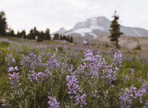
4.0From the mount hood scenic byway in Government Camp, Oregon turn on the road that heads up to the Timberline Lodge. Follow that road to the end and park in the lot all the way at the top. In the ski season you need a pass to park there, but if you go in June, July, Or August (aka when the wildflo...Read more -
Maupin, Oregon
White River Falls
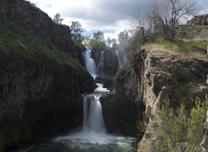
4.40.78 mi / 177 ft gainWhite River Falls is perfect for those looking for an easy hike with great rewards. From the parking lot, it is a brisk walk to a view point, where you can immediately take in the gorgeous falls! To get down to the bottom of the falls, turn left and begin walking down the trail. You will cross a...Read more -
Maupin, Oregon
Explore White River Falls State Park
White River Falls is located 35 miles south of The Dalles and 4.5 miles east of Tygh Valley. With only a short walk from the parking area to the viewing area and trails leading down to the water.White River Falls, which is the furthest upstream, drops about 75 feet with multiple channels, and at ...Read more -
Cascade Locks, Oregon
Wahclella Falls
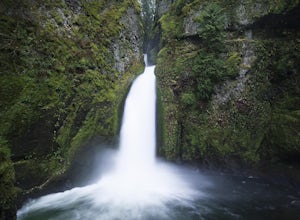
4.71.74 mi / 410 ft gainThis is a very short and fairly easy, 1 mile in – 1 mile out, hike with a little bit of elevation gain. I took my time hiking and enjoying the scenery with the intention of this being a photo heavy trip. When I got to the end I spent at least an hour shooting from every angle I saw fit. Once you ...Read more -
Cascade Locks, Oregon
Munra Point
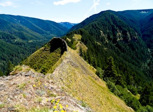
4.94.12 mi / 1870 ft gainThis trail is temporarily closed. Please visit the Forest Service website for updates to trails in the Columbia River Gorge. This hike starts at the Wahclella Falls trailhead, but does not use that trail. Instead, walk back towards the freeway and take a left onto the Columbia River Highway Tr...Read more -
Cascade Locks, Oregon
Snow Hike to Wahclella Falls
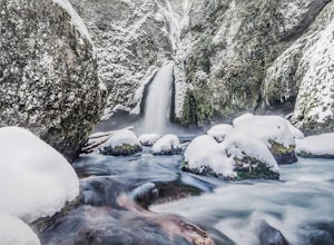
4.02 miThe wooden bridges, Munra Falls, beautiful canyon walls, and the mossy grotto at the end of the canyon itself would be enough of a draw for this hike, but you round the last corner and 65 foot Wahclella Falls comes in full view.The big snow covered river rocks looked like giant marshmallows, and ...Read more -
White River West Sno-Park, Oregon
Snowshoe Pacific Crest Trail at White River West
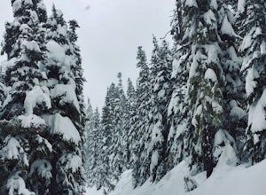
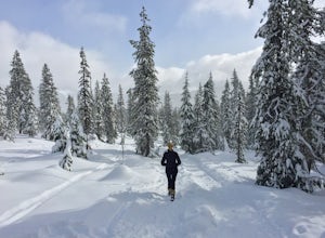
3.4 mi / 800 ft gainPark at White River West Sno-Park. Walk to the north end of the parking lot. Start a very brief way up the White River Trail. After 100-200 feet, step off the main trail, to your left, and head into the woods for some solitude. To get to the Pacific Crest Trail, look for the blue diamond trail ma...Read more

