Lopez Island, Washington
Looking for the best hiking in Lopez Island? We've got you covered with the top trails, trips, hiking, backpacking, camping and more around Lopez Island. The detailed guides, photos, and reviews are all submitted by the Outbound community.
Top Hiking Spots in and near Lopez Island
-
Duncan, British Columbia
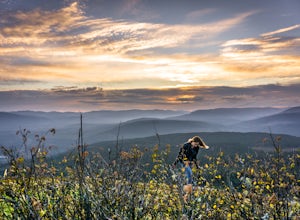
Hike Mount Prevost
3.06.5 mi / 2473.8 ft gainMt Prevost is a local favourite for hikers, mountain bikers and if you can believe even hang gliders. Most people know it for the large war memorial tower that is perched on the cliff edge, standing guard over the valley below.The big draw of Mt Prevost is easy access to a significant distance an...Read more -
Delta, British Columbia
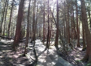
Hiking through Burns Bog Delta Nature Reserve
1.9 miAs you begin your journey into Burns Bog Delta Nature Reserve from the parking lot and small trail coming off of Westview Drive, notice the gravel trail ahead of you and across the train tracks that will take you into the bog itself and take a left. After spending a few minutes on the straight tr...Read more -
Port Angeles, Washington
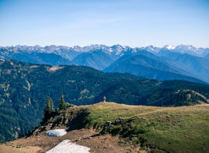
Hurricane Hill
4.83.13 mi / 689 ft gainTo get to this hike you drive up to Hurricane Ridge in Olympic National Park. The drive up to Hurricane Ridge is on a winding road with amazing views of the mountains. Once you reach the visitors center at Hurricane Ridge you can fill up water bottles or use the restroom. The trailhead for Hurric...Read more -
Port Angeles, Washington
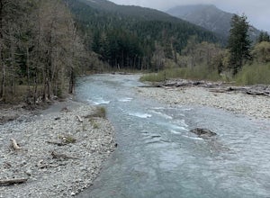
West Elwha River Trail
5.06.11 mi / 1198 ft gainWest Elwha River Trail is an out-and-back trail that takes you by a river located near Port Angeles, Washington.Read more -
Quilcene, Washington
Buckhorn Mountain
12.26 mi / 4429 ft gainThe climb to Buckhorn Mountain above Marmot Pass is a must see for every PNW adventurer with the endurance to tackle nearly 14 miles and 4,400 feet of gain. Listen to the rushing waters of the Big Quilcene River as the trail gently traverses up 5.5 miles to Marmot Pass. Be sure to filter water ...Read more -
Quilcene, Washington
Backpack to Marmot and Constance Passes
24 mi / 5200 ft gainThe secret to this trip: Marmot Pass and Boulder Shelter, where you can camp on National Forest Service land. Multiple excellent, large backpacking sites sit just on the edge of the National Park, giving you great access to Mt. Constance and Mt. Deception, two of the tallest peaks in the Olympics...Read more -
Port Angeles, Washington
Wolf Creek Trail
8.12 mi / 3970 ft gainTo tackle the Wolf Creek Trail, you start by winding up Whiskey Bend Road just outside of Port Angeles, falling the curves and hills of Elwha River. The peaks of the Olympic Mountains stand in the distance.Once you approach a clearing and small parking area, you grab the gear and hit the trail. T...Read more -
Port Angeles, Washington
Humes Ranch and Goblin Gates
6.4 mi / 994 ft gainThe Elwha River Trail cuts south into the heart of Olympic National Park along a densely forested valley, following the same route taken by some of the earliest explorers of the Olympic Peninsula at the end of the 19th century. Past Port Angeles, at a hard curve in US-101, take Olympic Hot Sprin...Read more -
27662-27664 Olympic Highway, Washington
Hike Falls View Canyon
1.5 mi / 300 ft gainThis hike is located immediately off of Highway 101 in the Falls View Campground. If the campground is closed you can park right outside of the gate (but don't block it) and hike in. Inside the gate you will see 3 paths in front of you, take a left and after about a quarter mile you will reach th...Read more -
Brinnon, Washington
Hike Lower Big Quilcene River
13 mi / 1800 ft gainWhile this hike does not provide any sort of fantastic views, its does provide an easy ~13 mile roundtrip hike from the trailhead to a parking lot for the Upper Big Quilcene Trail which leads to Marmot Pass. Along the way you will cross several bridges, some large and wide, other simple log bridg...Read more -
Brinnon, Washington
Hike to Mt. Walker North & South Viewpoints
3.04 mi / 2000 ft gainDirections: From the Quilcene Ranger Station drive 4.6 miles south on US 101. Watch for the signs for Mount Walker View Point. Turn left onto Mount Walker Road. The trail head is about a quarter mile up the road with pull over parking on the left side of the road. In the winter and early spring, ...Read more -
Port Angeles, Washington
Spruce Railroad Trail
3.011.36 mi / 1138 ft gainThis versatile trail can adapt to your needs. It's can be an out-and-back hike, so you can make it as long as you like. If you do full distance, you are looking at an 8 mile day... OR, if you have two cars, you can park a car at either end of the trail and make it a 4 mile one-way hike. This des...Read more

