Lakewood, Washington
Looking for the best photography in Lakewood? We've got you covered with the top trails, trips, hiking, backpacking, camping and more around Lakewood. The detailed guides, photos, and reviews are all submitted by the Outbound community.
Top Photography Spots in and near Lakewood
-
Hoodsport, Washington
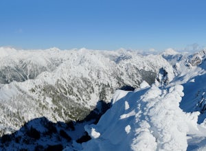
Snowshoe Mt. Ellinor's Winter Route
5 mi / 4500 ft gainYou can stat this adventure at one of two trailheads. I suggest using the lower of the two. The start of the trail ascends through a forest of old growth pines with periodic views of Mt Washington. Eventually, at a fork in the trail, you will see a sign marking the start of the winter route. You ...Read more -
Snoqualmie, Washington
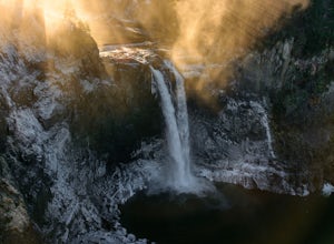
Snoqualmie Falls
4.21.4 mi / 509 ft gainSnoqualmie Falls is one of the most popular waterfalls in Washington. The waterfall is almost 270 feet tall and ranges in width all the way up to 150 feet when the water is really running. On sunny, warm days, it can be a little overrun with tourists. Figure out where you want to get your photo ...Read more -
Hoodsport, Washington
Summit Mount Ellinor
4.83.08 mi / 2467 ft gainHikers who reach the summit of Mount Ellinor are treated to a rarer view of Olympic National Park, one that is notably more immersive, rugged and dynamic than the common vista from Hurricane Ridge. Ellinor’s profile is, no doubt, familiar to most Seattleites, as it’s the Olympics’ southernmost p...Read more -
Mason County, Washington
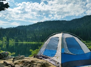
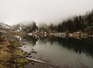
Upper Lena Lake
5.012.61 mi / 4239 ft gainThe hike to Upper Lena Lake is a beautiful one. It first takes you past Lena Lake, which is a very popular weekend destination for families. Luckily you're pushing on to Upper Lena Lake that sits in a peaceful alpine meadow with Mt. Lena and Mt. Bretherton towering above. The first part of the t...Read more -
Brinnon, Washington
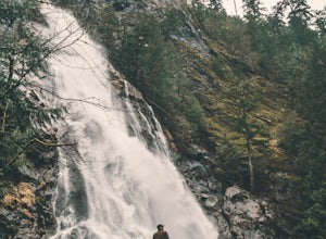
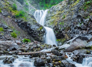
Rocky Brook Falls
4.80.25 mi / 141 ft gainTo find the falls, head north up Hwy. 101 past Brinnon, Washington and hang a left at Dosewallips Rd. Keep an eye on the mile markers. Right after mile three and crossing a small bridge, there's a parking area on the left side enough for about 6 cars. The hike to Rocky Brook Falls is a short on...Read more -
North Bend, Washington
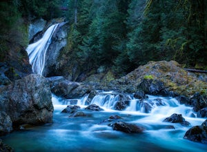
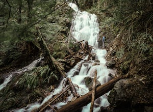
Twin Falls
3.32.51 mi / 778 ft gainFor a portion of this 3-mile hike, you'll trek next to the South Fork Snoqualmie River, so take in the peaceful sound of the river running. Along the trail runs a river, where massive boulders create wading pools of icy water for warm summer days. At 1.5 miles, you'll reach a viewpoint bridge, wh...Read more -
North Bend, Washington
Drive Along the Middle Fork Snoqualmie River
5.0Some days you don't need to tackle a grueling summit or long mileage loop, just getting outside the city is enough. Driving forest roads is always an adventure and pays its dividend in seclusion, viewpoints, and peacefulness. The Middle Fork Snoqualmie (FR56) offers a photo enthusiast numerous pi...Read more -
Mountlake Terrace, Washington
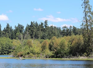
Kayak Lake Ballinger
4.0Getting Here: Heading North on I5 from Seattle Center, take exit 178 for 236th Street SW and Lakeveiw Dr. Take a left on Lakeview Dr. and follow along for a half a mile before you see the Lake Ballinger Boat Ramp parking area on the left. There is a community park and rental facility on the noir ...Read more -
Ashford, Washington
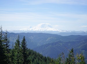
Hike Kautz Creek to Indian Henry's Hunting Ground
11 mi / 2520 ft gainNamed after the Native American who lived here prior to Mt. Rainier becoming a national park, So-To-Lick's was dubbed "Indian Henry" by the postman who unfortunately did not learn his name. When heading out on this hike, keep an eye on the weather in Mt. Rainier National Park. If hiking this trai...Read more -
King County, Washington
Teneriffe Falls (Kamikaze Falls)
4.55.64 mi / 1732 ft gainThe lesser known Mt Si Rd trail starts off as a relatively flat road. This continues for two miles until you reach the Teneriffe Falls sign. Upon turning right at this junction, the terrain takes a shift and the incline steepens. This is where most of the elevation is gained. The rest of the way...Read more -
North Bend, Washington
Hike Mount Washington
4.32.89 mi / 3058 ft gainYou start out at an elevation of about 1200 feet and you gradually make your way up to the top at 4450 feet. You are hiking through forest land the whole time with peaks of a beautiful view to the north every so often. Along the way there are many rock walls which you can climb at, however on our...Read more -
Mason County, Washington
Hike to Lake of the Angels
5.06.75 mi / 3599 ft gainThe trail up to Lake of the Angels, known as the Putvin Trail, starts out pretty mellow with a gradual uphill climb. Your first marker will be an old roadbed at around 1.4 miles, but you'll need to cross two ravines before making it there. It's thick forest with gorgeous views in the clearings, s...Read more -
Ashford, Washington
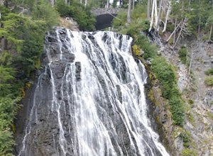
Hike to Comet Falls
5.0Located on Paradise Road along the south side of Mount Rainier, the Comet Falls Trail follows Van Trump Creek up to the magnificent Comet Falls. The hike is 3.8 miles round trip with 1250' of elevation gain.The trail starts off at 3650' and soon crosses over a bridge above Christine Falls. It qui...Read more -
Ashford, Washington
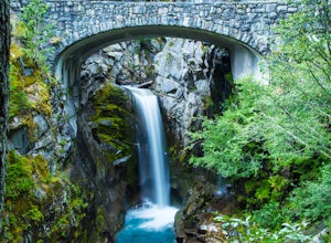
Explore Rainier's Christine and Narada Falls
3.7Driving along Paradise Road on the south side of Mount Rainier, provides a couple of opportunities to view gorgeous waterfalls with a short hike. From the West, the first stop is Christine Falls. There is parking on either side side of the bridge, but the east side is closest to the trail. Desce...Read more -
Ashford, Washington
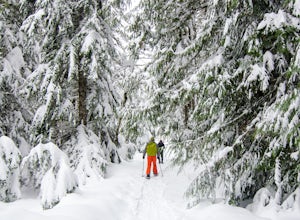
Snowshoe to Longmire Lookout
4.1 mi / 800 ft gainStarting at the Longmire Trailhead, cross the road and begin snowshoeing counter-clockwise on the Trail of Shadows. This first 0.5 miles begins the hike as a nice warm up where you can make sure your snowshoes are adjusted properly and stop from time to time to learn some facts from the interpre...Read more -
Packwood, Washington
Carter & Narada Falls
3.05.81 mi / 1434 ft gainThis hike starts off with a bang! The first thing you do is walk out into a rocky riverbed and get an amazing view of Mt. Rainier. From there, you'll cross a long log bridge to get over the river and head into the woods. After 1.1 miles, you'll come across Carter Falls, and about 100 feet down t...Read more

