Lake Stevens, Washington
Looking for the best photography in Lake Stevens? We've got you covered with the top trails, trips, hiking, backpacking, camping and more around Lake Stevens. The detailed guides, photos, and reviews are all submitted by the Outbound community.
Top Photography Spots in and near Lake Stevens
-
Skykomish, Washington
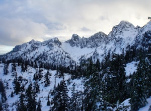
Snowshoe Lake Valhalla
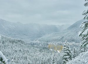
11.6 mi / 1500 ft gainYou start out at Stevens Pass just across the street from the lodge. The trailhead is slightly hidden but it is located to the left of the substation. Parking is plenty before ski-season. Once you are all geared up, you wanna hit the trail running cause this is a long one to snowshoe. With short...Read more -
North Bend, Washington
Ski or Snowshoe to Pineapple Pass
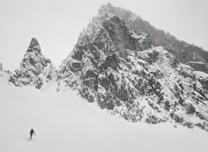
3.04.5 mi / 2000 ft gainSkiers or snowshoers looking to explore this route should park in the uppermost parking area at the Alpental ski area. This lot is past the main parking lot for the ski area. After getting your gear on, you can proceed down the groomed access run heading northwest out of the parking area. This ru...Read more -
Concrete, Washington
Park Butte Lookout
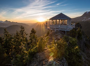
4.57.64 mi / 2100 ft gainThis place is really the stuff of fairy tales. Where else can you find a tiny cabin with 360-degree views of stunning mountain scenery? To the west, you can see all the way to Bellingham and the Puget Sound. To the south and east lie the jagged North Cascades. And the entire northern horizon is ...Read more -
Concrete, Washington
Backpack the Easton Glacier Railroad Grade
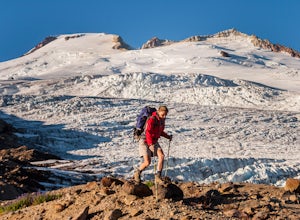
10 mi / 3000 ft gainBegin at the Park Butte trailhead, trail 603. Hike past the first Scott Paul trail sign a few hundred feet from the trailhead. Continue on and cross appropriately name Rocky Creek heading up on the Park Butte Trail. Continue up the Park Butte trail passing the Scott Paul trail again at about 4,50...Read more -
North Bend, Washington
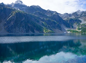
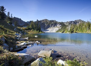
Snow Lake
4.06.24 mi / 1699 ft gainThis hike gets crowded fairly quickly so get there early. The parking lot is very large so parking is not really a problem. There are bathrooms at the very beginning of the trail so I highly suggest using them. However at the top there is also a designated restroom area. Starting at 2600 ft, thi...Read more -
North Bend, Washington
Gem Lake, WA
4.710.4 mi / 2923 ft gainThis hike shares the trailhead for Snow lake at the Alpental Ski area in Snoqualmie Pass. You'll start out with a great warm up, walking through dense green underbrush and a brief wooded area. Before too long the trail increases in inclination slightly and begins to offer up some small rocky sect...Read more -
North Bend, Washington
Snoqualmie Mountain
4.32.87 mi / 3054 ft gainFor this hike, you park at the same parking lot as the Snow Lake hike. The trailhead to Snoqualmie Mountain is an unmarked trail just 30 feet or so before the Snow Lake trail. This is a tough hike even though its only a ~4 mile out and back trip because you gain 3100 feet to reach the summit. Th...Read more -
North Bend, Washington
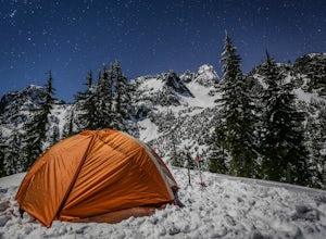
Winter Backpack Below Chair Peak
6 mi / 1500 ft gainHike or snowshoe to the ridge below Chair Peak and above Snow Lake and camp among numerous Snoqualmie Pass peaks.Drive to Snoqualmie Pass WA via I-90 and park at the Alpental parking lot (exit 52). Take the Snow Lake trail, which initially climbs 200 feet with wooden steps and eventually evens ou...Read more -
North Bend, Washington
Winter Camping at Snow Lake
7.2 mi / 1800 ft gainStarting at the Snow Lake Trail Head you climb up the boot pack or ski track of those before you (hopefully) from ~3120 ft. to ~4400 ft. at the ridge line where Snow Lake becomes visible. If there are no tracks, follow the South Fork Snoqualmie River NE and aim just east of the lowest point of t...Read more -
Brinnon, Washington
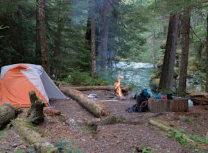
Camp at the Dose Forks
15 mi / 1200 ft gainThe Dose Forks Campground is an overlooked campsite deep within the Olympic National Park, making it a perfect weekend camping destination. A mild, 7.5 mile (one-way) trail delivers you to this enchanting area and is a must for those who love photographing forests. There are no reservation requir...Read more -
Leavenworth, Washington
Hike to Minotaur Lake
5.0This short, steep hike offers rewarding views that is well worth the vertical challenge. Round trip this hike is only 3.5 miles but you will gain 1400 feet elevation in the first mile.The trail starts off with switchbacks that head straight up the hill then about 200 feet from the wilderness boun...Read more -
Black Diamond, Washington
Hike Franklin Ghost Town
Visited here in August and the water was possibly the coldest I've ever swam in. A great half-day trip as the hikes are easy and the spots are quick to get to. The falls are located just to side of the road with a couple of different places to park. There's a $5 or $10 entrance/parking fee. A gre...Read more -
33317 Southeast Green River Gorge Road, Washington
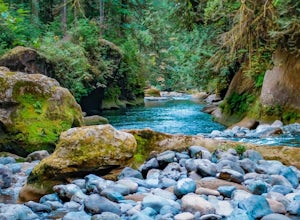
Explore the Green River Gorge
3.5The Franklin Ghost Town trailhead is just a large muddy lot, surrounded by no trespassing signs. When you pull in you will see signs for a $5 day use fee, just fill out the form and drop it in the box. There are two trails that leave the lot, one heads down to the river and is probably a mile rou...Read more -
Leavenworth, Washington
Hike to the Summit of Mt. McCausland
8 mi / 1800 ft gainBegin by driving a fairly smooth Forest Road 6700 for 2.5 miles to the Smith Brook Trailhead and park in the space on the left. Much of the signage has been taken down along the trail, so it may be helpful to bring some written directions with you. The hike begins by keeping close to the road, me...Read more

