Kirkland, Washington
Looking for the best photography in Kirkland? We've got you covered with the top trails, trips, hiking, backpacking, camping and more around Kirkland. The detailed guides, photos, and reviews are all submitted by the Outbound community.
Top Photography Spots in and near Kirkland
-
Gold Bar, Washington
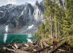
Lake Serene and Bridal Veil Falls
4.87.74 mi / 2569 ft gainConsider this a must-do if you are in Seattle and feel like knocking out two amazing hikes AND getting to see a hidden lake all along US 2. The trail starts out on an old road with the typical amazing forest surrounding you. After roughly 2 miles the road will end and you can go right (signage i...Read more -
North Bend, Washington
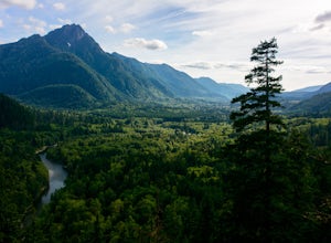
Hike Pratt Balcony
2.2 miThis one can be a bit tricky to find. The trailhead is unmarked and is a bit hidden around a curve of Middle Fork Road so it is easy to miss. At about 9.80 miles from the junction of 468th St. and Middle Fork Road, look for two signs on the right warning of upcoming gravel patches (probably will ...Read more -
Gold Bar, Washington
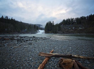
Sunset Falls
1.0Note: Please be careful when exploring the falls. We recommend not walking on the surfaces directly next to the falls as the water is moving very quickly and can pick you up quickly. The falls are home to several very sad losses. Sunset Falls is the largest and the final of the three major wate...Read more -
Granite Falls, Washington
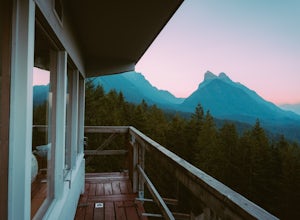
Mount Pilchuck Lookout
4.85.22 mi / 2113 ft gainHike the well-maintained Mount Pilchuck Lookout trail through a variety of terrain: old-growth forest and granite boulder fields. At the top, you'll reach a lookout tower perched on Mount Pilchuck. Pilchuck sits on the western edge of the Cascades, which offers up amazing panoramic views once you...Read more -
Gold Bar, Washington
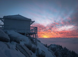
Heybrook Lookout
4.72.47 mi / 984 ft gainTo the trailhead, drive east on highway 2 from Everett. Just past milepost 37 you will see a gravel parking area on the left side of the highway. Wander through a mossy forest that reminds me of Olympic National Park and traverse up 1.3 miles of switch backs to ascend heybrook lookout! Dogs ar...Read more -
North Bend, Washington
Rainy Lake Trail
4.09 mi / 3205 ft gainThis is an abandoned trail that heads south along Rainy Creek, off of the downstream section of the Middle Fork Snoqualmie Trail, and up to Rainy Lake. The lake is popular among fisherman, since it is home to lots of trout, but be warned -- route-finding skills are a must on this trip. I do my be...Read more -
North Bend, Washington
Middle Fork Snoqualmie River Trail
27.57 mi / 3609 ft gainThis beautiful tucked-away trail offers runners, hikers, and backpackers a new view of their favorite neighboring peaks - like Mailbox Peak and Mt. Si - from one of the most scenic river trails in the Seattle area. Often overlooked in favor of more rigorous hikes, the Middle Fork is a gently gra...Read more -
Seabeck, Washington
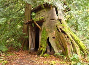
Hike to Guillemont Cove Stump House
4.52.5 miHave you ever been inside a stump house? This is your chance! Just outside of Seabeck, Washington lies a hobbit stump house tucked into a mossy forest on the shores of Guillemont Cove. Drive to Seabeck, turn right onto Miami Beach Road, bear left onto Stavis Bay road and continue for 4.5 miles...Read more -
Brinnon, Washington
Hike to Mt. Walker North & South Viewpoints
3.04 mi / 2000 ft gainDirections: From the Quilcene Ranger Station drive 4.6 miles south on US 101. Watch for the signs for Mount Walker View Point. Turn left onto Mount Walker Road. The trail head is about a quarter mile up the road with pull over parking on the left side of the road. In the winter and early spring, ...Read more -
Granite Falls, Washington
Old Robe Canyon Trail
3.69 mi / 771 ft gainNOTE: The trail is currently closed about 1 mile in due to landslides. This trail starts right off the Mountain Loop Highway outside of Granite Falls. Look out for a brick sign with the trail name, as it's easy to miss otherwise. There's parking next to the highway, but since there is a history...Read more -
North Bend, Washington
Summit Mt. Defiance
5.011 mi / 3300 ft gainThis hike offers some of the best views one can see in the area. On a clear day, you'll get amazing views of Mt. Rainier. The best part is that as you start heading uphill in the first half mile, you'll get great views of McClellan Butte. Once you reach the summit of Defiance at 5584 feet, you'll...Read more -
North Bend, Washington
Bandera Mountain
4.47.8 mi / 3176 ft gainThis hike has unreal views of Mount Rainier. On a great clear spring day, the mountain is out. It's right in your face. It's incredible. If you tackle this hike in the spring the bear grass and wildflowers are alive and blooming towards the top and it makes for some fantastic picture-taking. Once...Read more -
Brinnon, Washington
Rocky Brook Falls
4.80.25 mi / 141 ft gainTo find the falls, head north up Hwy. 101 past Brinnon, Washington and hang a left at Dosewallips Rd. Keep an eye on the mile markers. Right after mile three and crossing a small bridge, there's a parking area on the left side enough for about 6 cars. The hike to Rocky Brook Falls is a short on...Read more -
North Bend, Washington
McClellan Butte
5.010.61 mi / 3629 ft gainStarting at the McClellan's Butte Trailhead, right off of I-90 exit 47, head out on the main (only) trail at the trailhad. The first half mile of the trail is quite easy as it meanders through the forest, but don't be fooled or worried, it will get harder. This first half mile has a crossing of a...Read more -
Granite Falls, Washington
Lake 22
4.65.98 mi / 1434 ft gainIf you're looking for a taste of the Mountain Loop Highway area, but don't have it in you for a longer, steeper journey, look no further than Lake 22. The trail starts out as flat and well-maintained, from the parking lot, before becoming a true mountain rainforest trail. Water and dampness are f...Read more -
Granite Falls, Washington
Cutthroat Lakes via Walt Bailey Trail
4.06.21 mi / 1978 ft gainAlong the Mountain Loop Highway, past the crowds crawling over Mt. Pilchuck, lies the muddy, unkempt Walt Bailey Trail into a verdant subalpine basin speckled with tiny tarns. The Cutthroat Lakes are a delightful location to spend the night with optional day hikes up to exposed ridgelines and cra...Read more

