Kent, Washington
Looking for the best chillin in Kent? We've got you covered with the top trails, trips, hiking, backpacking, camping and more around Kent. The detailed guides, photos, and reviews are all submitted by the Outbound community.
Top Chillin Spots in and near Kent
-
Mountlake Terrace, Washington
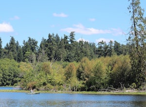
Kayak Lake Ballinger
4.0Getting Here: Heading North on I5 from Seattle Center, take exit 178 for 236th Street SW and Lakeveiw Dr. Take a left on Lakeview Dr. and follow along for a half a mile before you see the Lake Ballinger Boat Ramp parking area on the left. There is a community park and rental facility on the noir ...Read more -
Carbonado, Washington
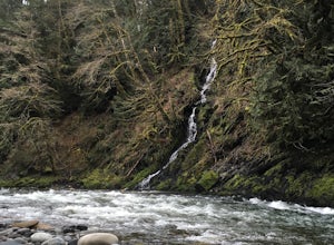
Hike the Upper Foothills Trail along the Carbon River
10 mi / 30 ft gainThe upper Foothills Trail from the Fairfax Bridge to Manley Moore can be hiked starting from either end as an "out and back" hike or a "point to point" by shuttling with two vehicles. Starting from the upper end of the trail you begin by walking under the Kolisch Rd. Bridge, which has the Manley...Read more -
North Bend, Washington
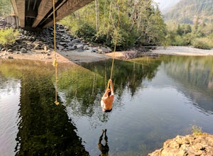
Swim in the South Fork of the Snoqualmie River
5.0You can reach this area off I-90. Take exit 38. If you are coming from the west (Seattle) take a right after exiting the highway and continue for about 2 miles. You will drive under I-90 and then come to a parking area. This is it! If you are coming from the east it's even easier, turn right...Read more -
Carbonado, Washington
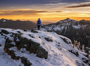
Summit Lake
4.56.13 mi / 1499 ft gainSummit Lake, nestled in a small basin just north of Mt. Rainier National Park in the Clearwater Wilderness, has everything a hiker could want in a day-hike or easy overnight backpack. The views, the well-maintained trail, and a perfect distance make this hike a must-do for anybody in the Pacific ...Read more -
Ashford, Washington
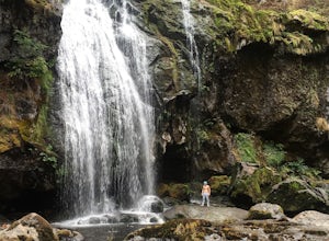
Hike to Rainier NP's Ranger Falls
4.57 miWhen heading to the adventure, stopped at the ranger station in Carbon to get your day pass ($5.00) and then continue on to the trailhead. Park on the road next to the Carbon river around. Start the hike down an old paved road that eventually leads through some trails and then to a gravel road. T...Read more -
Edmonds, Washington
Hike to Meadowdale Beach
5.0If you plan to hike to this beach on the weekend, arrive early because the parking lot fills up fast. From the trailhead, hike down through an old forest along a stream to reach Meadowdale Beach Park. Take in the sounds of birds, wildlife, and the stream adjacent to the trail. At one mile you wil...Read more -
North Bend, Washington
Middle Fork Snoqualmie River Trail
27.57 mi / 3609 ft gainThis beautiful tucked-away trail offers runners, hikers, and backpackers a new view of their favorite neighboring peaks - like Mailbox Peak and Mt. Si - from one of the most scenic river trails in the Seattle area. Often overlooked in favor of more rigorous hikes, the Middle Fork is a gently gra...Read more -
North Bend, Washington
Otter Falls
4.08.37 mi / 853 ft gainThe hike begins at Snoqualmie Lake Trailhead, but you'll actually have to start your hike about a half mile down the road from the trailhead as some cement barricades are up. There is plenty of room to park below the barricades, and the walk up to the trial head is easy and quick. Once at the tr...Read more -
Eatonville, Washington
Hike to Little Mashel Falls
4.75.3 mi / 646 ft gainIf you have been trying to get behind a waterfall Eatonville Falls is the place to hike and get a great feeling out of it. Hiking to the waterfall would lead you to a railroad and pass it would lead to a river where you would follow it down to get to the waterfall. The hike itself is pretty sim...Read more -
North Bend, Washington
Goldmyer Hot Springs
4.110.48 mi / 817 ft gainGoldmyer Hot Springs is a beautiful little gem nestled within the wilderness of the stunning Cascade Mountains. This hot springs complex is situated on the old remains of a mining town, and delivers steadily flowing water to a set of tiered pools along the mountainside. The “cave” pool at the top...Read more -
Enumclaw, Washington
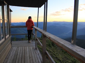
Catch the Sunset at Suntop Lookout
5.0Catching a beautiful sunset has never been so easy. This lookout tower is accessible by vehicle. The road is fairly smooth too. No car would have any trouble getting up to the top. The last gate before the lookout tower/peak is about a mile down. The gate does close at 8pm but is ran by voluntee...Read more -
North Bend, Washington
Winter Camping at Snow Lake
7.2 mi / 1800 ft gainStarting at the Snow Lake Trail Head you climb up the boot pack or ski track of those before you (hopefully) from ~3120 ft. to ~4400 ft. at the ridge line where Snow Lake becomes visible. If there are no tracks, follow the South Fork Snoqualmie River NE and aim just east of the lowest point of t...Read more -
Enumclaw, Washington
Hike to Kelly Butte
3.4 mi / 1100 ft gainAfter a rough drive to the trailhead you’ll have little time to catch your breath as the trail laces up the mountain side, but with Rainier to distract you, it won’t be long until you’re at the top with a view that is more than enough reward for your efforts. Pay very close attention to the drivi...Read more -
Snoqualmie Pass, Washington
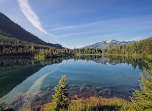
Hike Gold Creek Pond
5.01 miThe quintessential family friendly hike, Gold Creek Pond is a simple yet spectacular hike next to Snoqualmie Pass. Easily accessible from the top of the pass (4.5 miles, 12 minute drive), the Gold Creek Pond hike is a simple addition to any itinerary if you're in the area. From Hwy 90, take exit...Read more -
Enumclaw, Washington
Hike to Greenwater Lakes
4.5 mi / 900 ft gainFollowing along the Greenwater River, family friendly Greenwater lakes Trail #1176 which has minimal elevation gain, winds through a lush green mossy old growth forest. Along the trail you will cross over several log bridges and pass a couple of beautiful waterfalls. At just under two miles int...Read more -
Brinnon, Washington
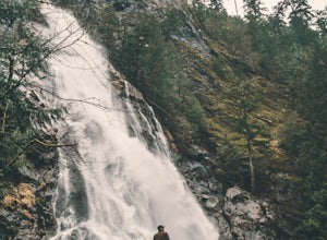
Rocky Brook Falls
4.80.25 mi / 141 ft gainTo find the falls, head north up Hwy. 101 past Brinnon, Washington and hang a left at Dosewallips Rd. Keep an eye on the mile markers. Right after mile three and crossing a small bridge, there's a parking area on the left side enough for about 6 cars. The hike to Rocky Brook Falls is a short on...Read more

