Washington
Looking for the best hiking in Washington? We've got you covered with the top trails, trips, hiking, backpacking, camping and more around Washington. The detailed guides, photos, and reviews are all submitted by the Outbound community.
Top Hiking Spots in and near Washington
-
Mason County, Washington
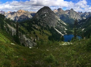
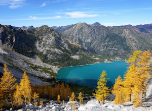
Upper Lena Lake
5.012.61 mi / 4239 ft gainThe hike to Upper Lena Lake is a beautiful one. It first takes you past Lena Lake, which is a very popular weekend destination for families. Luckily you're pushing on to Upper Lena Lake that sits in a peaceful alpine meadow with Mt. Lena and Mt. Bretherton towering above. The first part of the t...Read more -
Mason County, Washington
Lena Lake
4.56.24 mi / 1644 ft gainThe trail climbs gently up and is accessible almost every season, weather permitting. Snowshoes may be needed December-February, so make sure and check with the Hoodsport Ranger Station. Just 45 minutes north of Hoodsport (a darling small town on the shores of Puget Sound), this trailhead has sp...Read more -
North Bend, Washington
Drive Along the Middle Fork Snoqualmie River
5.0Some days you don't need to tackle a grueling summit or long mileage loop, just getting outside the city is enough. Driving forest roads is always an adventure and pays its dividend in seclusion, viewpoints, and peacefulness. The Middle Fork Snoqualmie (FR56) offers a photo enthusiast numerous pi...Read more -
North Bend, Washington
Summit Mt. Defiance
5.011 mi / 3300 ft gainThis hike offers some of the best views one can see in the area. On a clear day, you'll get amazing views of Mt. Rainier. The best part is that as you start heading uphill in the first half mile, you'll get great views of McClellan Butte. Once you reach the summit of Defiance at 5584 feet, you'll...Read more -
Winthrop, Washington
Heather-Maple Pass Loop
5.07.5 mi / 2185 ft gainNote to any hikers taking on this trail, this is a non-repeating trail meaning it goes in a big loop. The trailhead has 2 trail points of entrance. To the right (the pathway that is not paved) is the counter-clockwise route, a little less steep and more scenic at the start. To the left, the trail...Read more -
Gold Bar, Washington
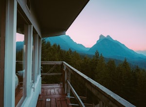
Heybrook Lookout
4.72.47 mi / 984 ft gainTo the trailhead, drive east on highway 2 from Everett. Just past milepost 37 you will see a gravel parking area on the left side of the highway. Wander through a mossy forest that reminds me of Olympic National Park and traverse up 1.3 miles of switch backs to ascend heybrook lookout! Dogs ar...Read more -
Skamania County, Washington
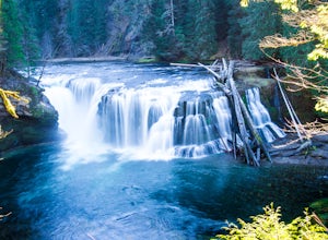
Hike to Lewis River Falls
4.3Distance: 5.4 milesElevation Change: 500ftThis Lewis River hike starts at Lower Falls then follows the Lewis River Trail #31, detours up to Copper Creek, before returning back to the main trail for the magnificent Upper Falls. Enticing views of the crystalline water in the Lewis River will make y...Read more -
Bellevue, Washington
Coal Creek Trail
4.05.55 mi / 545 ft gainThis trail takes you through Coal Creek park and follows the creek along the trail with minimal elevation gain. This trail can also be accessed from the northern end of the park if that's a more convenient drive. For the lower parking lot, park at the Red Town lot (exit 13 off I-90) and cross the...Read more -
Marblemount, Washington
Sahale Glacier Camp via Cascade Trailhead
5.011.09 mi / 4183 ft gainAs an initial note, to spend an overnight at Sahale Glacier Camp, you need to obtain a permit at the North Cascades Ranger Station in Marblemount, Washington. Permits are limited, so get there early or call in advance. To start, go to Marblemount, WA and then drive ~23 miles east on Cascade Rive...Read more -
Concrete, Washington
Anderson and Watson Lake
5.68 mi / 1165 ft gainThe drive up to the starting point of the trail to Anderson and Watson Lake was easy, but at the end it gets a little tricky - the service road is sharp gravel and runs for about 10 miles to the trailhead. Some spots are steep and there are large potholes, but slow and steady wins the race. There...Read more -
North Bend, Washington
Bandera Mountain
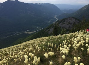
4.47.8 mi / 3176 ft gainThis hike has unreal views of Mount Rainier. On a great clear spring day, the mountain is out. It's right in your face. It's incredible. If you tackle this hike in the spring the bear grass and wildflowers are alive and blooming towards the top and it makes for some fantastic picture-taking. Once...Read more -
North Bend, Washington
Annette Lake
4.57.2 mi / 1923 ft gainFrom Seattle drive east on I-90 to exit 47 (Asahel Curtis/Denny Creek). Turn right from the off-ramp and continue 0.25 mile, then turn left on Forest Road 5590. You'll find the parking area in 0.3 mile. Between the thick second-growth forest stands and the high alpine lake, the trail rolls along...Read more -
Forks, Washington
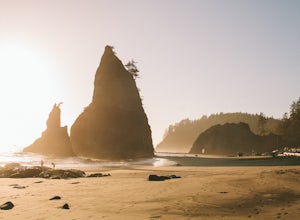
Rialto Beach to the Sea Stacks
4.71.06 mi / 26 ft gainBefore you start this hike, you'll need to pick up a permit at the Wilderness Information Center in Port Angeles, WA - (360) 565-3100. The trail itself starts at Rialto Beach, which is at the end of Mora Road in La Push. There's a large parking lot for overnight campers so there shouldn't be any ...Read more -
Leavenworth, Washington
Aasgard Pass via Stuart Lake Trail
3.511.15 mi / 4560 ft gain“These fleetingly rare sights offer a recipe for what I call ‘the Quest.’ The Quest is the force that motivates us to travel. It’s putting oneself in the perfect place at the perfect time. It’s the insatiable urge to find that quintessential moment.” - Washington AAA Journal The arrival of “gold...Read more -
Anacortes, Washington
Hike to the Summit of Mt. Erie
4.05 mi / 900 ft gainTo start this hike, jump on trail 215 for a short distance of about a 1/4 mile. From here, continue until you cross trail 320 and head left onto it. Stay on 320 until you come across trail 230.Take 230 uphill (resembles an old fire road) toward the ravine just above a creek. From here, head onto ...Read more -
Deming, Washington
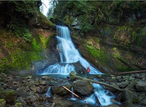
Hike to Racehorse Falls
3.7Racehorse Creek is broken up into four distinct waterfalls that drop a total of 140ft through a relatively shallow gorge. The first two waterfalls are punchbowl-type falls that have deep holes at their bases. Immediately below the second waterfall, the creek descends rapidly before it arrives at...Read more

