Gold Bar, Washington
Looking for the best photography in Gold Bar? We've got you covered with the top trails, trips, hiking, backpacking, camping and more around Gold Bar. The detailed guides, photos, and reviews are all submitted by the Outbound community.
Top Photography Spots in and near Gold Bar
-
Granite Falls, Washington
Hike to Perry Creek Falls & Mount Forgotten Meadows
11.5 mi / 3700 ft gainMost visitors park at this trailhead to hike Dickerman Mountain. Until this spring, so did I. However, don't overlook this stunning valley hike to Perry Creek, Mount Forgotten Meadows, and the scramble up Mount Forgotten!Begin this hike on the Perry Creek trail, which begins on the far left sid...Read more -
Granite Falls, Washington
Big Four Ice Caves
4.32.38 mi / 289 ft gainDisclaimer: Hiking into the caves is extremely dangerous as there is potential for the ice to fall. We do not recommend hiking inside of them and if you choose to do so, you're doing it at your own risk. This is a short hike at just 2.3 miles roundtrip with little elevation change. The hike take...Read more -
Granite Falls, Washington
Snowshoe to Coal Lake
13 mi / 1600 ft gainhttps://www.theoutbound.com/wa...Starting out at the Deer Creek gate of Mountain Loop Highway the road is flat and uneventful for the first 2 miles or so, though it does offer some great views of the Big Four as well as a few other peaks and the babbling south fork of the Stillaguamish river. The...Read more -
Granite Falls, Washington
Dispersed Camp near Beaver Creek Group Camp, Mt. Baker Snoqualmie NF
This campsite is located along the Mountain Loop Highway. There are various options for dispersed camping around the area, as well as some you can reserve ahead of time such as the Coal Creek Campground and the Beaver Creek Group Campground. This campsite is located just before Beaver Creek grou...Read more -
Gold Bar, Washington
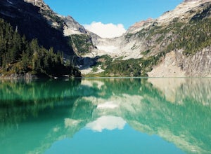
Blanca Lake
5.07.42 mi / 3540 ft gainAlthough the drive to the trailhead is mostly over gravel roads, Blanca Lake is a very popular hike. The drive is better for cars with clearance and AWD capabilities. The trail gets right down to it gaining almost 3,000 feet in the first 3 miles. But don't worry, the hard work is well worth the...Read more -
Gold Bar, Washington
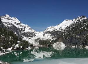
Winter Backpack to Blanca Lake
7.5 mi / 3300 ft gainSince Blanca Lake is a very popular place for folks to explore and with the nice and sunny weekend. I drove out Friday night and slept in my Jeep. Got up at 7:30am when folks first started arriving to the trail head.A couple of things to keep in mind before you start this hike. The 7.5 miles ro...Read more -
Granite Falls, Washington
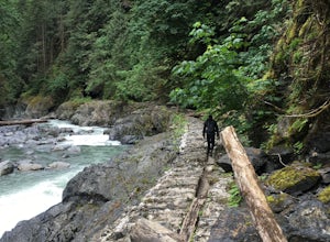
Old Robe Canyon Trail
3.69 mi / 771 ft gainNOTE: The trail is currently closed about 1 mile in due to landslides. This trail starts right off the Mountain Loop Highway outside of Granite Falls. Look out for a brick sign with the trail name, as it's easy to miss otherwise. There's parking next to the highway, but since there is a history...Read more -
Darrington, Washington
Camp at Goat Lake
4.310.4 mi / 1400 ft gainIf you just loved your day hike to Goat Lake so much that you want to return and spend some more time, you're in luck - the lake offers a camping area that holds at least 15 campsites and even comes with a pit latrine. This is a great overnight option if you aren't looking for a difficult hike in...Read more -
Darrington, Washington
Winter Hike to Goat Lake
4.010.4 mi / 1400 ft gainThis trail is a perfect winter hike for the average outdoorsmen. Be warned that the most difficult part of this hike is getting to the trailhead in winter. The Mountain-loop highway can be a dangerous drive with black ice, snow, and serious potholes along the way. Take proper precautions like cha...Read more -
Darrington, Washington
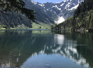
Hike to Goat Lake
4.510.4 mi / 1400 ft gainThe trail starts by lazily winding through beautiful forest. Fairly quickly, you'll reach a fork for the Upper and Lower Elliot Creek Trails. Both will take you to Goat Lake in about the same distance (~3 miles), but each offers a different take on the area. The lower trail winds along as it foll...Read more -
Leavenworth, Washington
Evergreen Mountain Lookout
4.52.88 mi / 1522 ft gainThis is a relatively short hike, at only 2.6 miles round trip, that takes you up to the nearly 5600 foot summit. The hike may be short but it is extremely steep, gaining 1300ft in the 1.3 miles to the summit, so be prepared for a good leg workout. On the way to the top you will walk through field...Read more -
Granite Falls, Washington
North Lake via Independence Lake
5.56 mi / 2431 ft gainNorth Lake is everything you could want in a subalpine lake: emerald green hues, cold, clear water, lots of brook trout and far from cell-phone reception. This backpack is perfect when the weather gets hot and sunny, though it does reside in what is known as “the wettest section of the Cascades,...Read more -
Lake Stevens, Washington
Water and Snow Ski Stevens to Stevens
5.0Have you ever dreamed of snow skiing and water skiing in the same day? This March, plan your adventure of a lifetime to Stevens Pass and Lake Stevens, Washington. You will need a winter coat, a wet suit, and a heart made of love for the outdoors.Keep an eye on mountain and lake weather conditions...Read more -
Snohomish County, Washington
Hike Johnson Ridge to Scorpion Mountain
9 mi / 2650 ft gainFrom Skykomish, WA drive east on SR 2 roughly 1 mile and turn left on the Beckler River Road, FS RD 65. Drive north on this road approximately 7 miles taking a sharp right at the pavement's end just before crossing the Rapid River. You are now on FS RD 6520. Continue on this road bearing left a...Read more -
North Bend, Washington
Rainy Lake Trail
4.09 mi / 3205 ft gainThis is an abandoned trail that heads south along Rainy Creek, off of the downstream section of the Middle Fork Snoqualmie Trail, and up to Rainy Lake. The lake is popular among fisherman, since it is home to lots of trout, but be warned -- route-finding skills are a must on this trip. I do my be...Read more -
Skykomish, Washington
Photograph the Foss River Trestle
5.0Traveling east from Seattle on Highway 2, take a right hand turn onto Foss River Road (Road 68) just after the township of Skykomish. The pavement ends in 1.1 miles, beyond that be cautious of potholes. Continue along this road for a further 1.3 miles, at which point you will pass under a railroa...Read more

