Freeland, Washington
Looking for the best hiking in Freeland? We've got you covered with the top trails, trips, hiking, backpacking, camping and more around Freeland. The detailed guides, photos, and reviews are all submitted by the Outbound community.
Top Hiking Spots in and near Freeland
-
Port Angeles, Washington
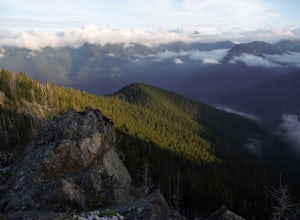
Camp at Deer Park Campground
5.0Deer Park Campground is really a hidden gem. With an elevation of 5,400 feet, the campground has amazing views of Olympic National Park, making you feel like you are camping above the clouds.There are also several hiking trails in the area that lead to even more spectacular views. Deer Park is on...Read more -
Bremerton, Washington
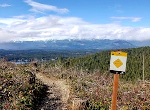
Hike the Gold Creek Trail at Green Mountain
4.05 mi / 1000 ft gainThe Gold Creek Trail is one of several trails in the Green Mountain region. Although the trail is intertwined with others, it is almost impossible to start down the wrong path. The trail is well-marked and well-maintained, making this an excellent option for the family. The trail begins at the e...Read more -
Port Angeles, Washington
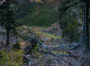
Backpack 1000 Acre Meadows
45.1 mi / 10750 ft gainThere are many different ways to reach 1000 Acre Meadows, but this guide will get you there starting at the Deer Park trailhead (5,400').Day 1: 14 miles You will start out by descending 2,400' and 4.3 miles to reach the Graywolf Camp. This is where the loop meets up with itself later on. Our goal...Read more -
Anacortes, Washington
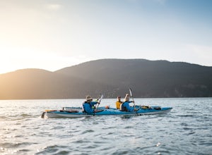
Kayak Camp on Cypress Island
16 miWe set out from the town of Anacortes, WA from Seafarers Memorial Park with a group of 6 people. Two in single kayaks and four in two tandem kayaks. After setting out into the water, keep to the west of Guemes island and follow the shoreline for a shorter trip or follow the east side for a longer...Read more -
Granite Falls, Washington
Heather Lake Trail
4.34.33 mi / 1165 ft gainThe trail takes you on a gradual climb up to Heather Lake with beautiful second growth to admire along the way. The trail can be very wet and muddy with many tree roots to catch your toes, so make sure to wear a sturdy pair of tennis shoes or hiking shoes. Dogs are permitted on this trail on-leas...Read more -
Granite Falls, Washington
Lake 22
4.65.98 mi / 1434 ft gainIf you're looking for a taste of the Mountain Loop Highway area, but don't have it in you for a longer, steeper journey, look no further than Lake 22. The trail starts out as flat and well-maintained, from the parking lot, before becoming a true mountain rainforest trail. Water and dampness are f...Read more -
Blakely Island, Washington
Hike and Camp at James Island
If you're looking for a weekend camping getaway to a small San Juan Island and you have a boat of substantial size or experience sea kayaking, this is the adventure for you!Launch your boat from Washington Park in Anacortes and cruise or sea kayak across Rosario Straight to James Island. There i...Read more -
Arlington, Washington
Boulder River Trail
4.38.12 mi / 1424 ft gainBoulder River is a great outing for those days when you feel like you just need a good hike through the forest. This makes for a nice long day hike, but because both of the large waterfalls are within the first half of the trail, you can still see the falls without going the whole way. One of the...Read more -
Arlington, Washington
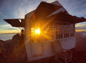
Three Fingers Lookout
4.514.31 mi / 4357 ft gainApproximately 11 miles east of Granite Falls, WA, on the Mt. Loop Highway, turn onto Forest Service road 41 and follow this road for 18.0 miles to the trailhead. The road is quite rough and it is recommended you have a four-wheel drive vehicle. There is a washout about halfway along the road, an...Read more -
Bellevue, Washington
Coal Creek Trail
4.05.55 mi / 545 ft gainThis trail takes you through Coal Creek park and follows the creek along the trail with minimal elevation gain. This trail can also be accessed from the northern end of the park if that's a more convenient drive. For the lower parking lot, park at the Red Town lot (exit 13 off I-90) and cross the...Read more -
Bellevue, Washington
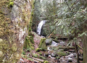
Coal Creek Falls via Red Town Trailhead
3.02.29 mi / 518 ft gainThe popular trailhead is located in the Cougar Mountain Regional Wildlife Park. There is a veritable maze of trails and trailheads here so it is helpful to bring along a map of the area. A trail map for Cougar Mountain can be found on kingcounty.gov. From the trailhead veer left following the Re...Read more -
Bellevue, Washington
Anti-Aircraft Peak Loop
4.53.53 mi / 436 ft gainHead up the road about .75 miles and take a left onto the Klondike Swamp Trail (well-singed). Stay on Klondike for a mile before taking a left onto Lost Beagle Trail. From here the trail climbs uphill and wraps around the edge of the park, offering views of the surrounding area. Hop on Shangri-La...Read more -
Friday Harbor, Washington
Hike through the American Camp
3 miFor what was once a highly contested and disputed piece of land in the Pacific Ocean, now lays home to one of the most peaceful, tranquil, and historic hikes in the island chain. Start the hike at the parking lot of the San Juan Island National Historic Site American Camp Visitor Center. Proceed ...Read more -
Issaquah, Washington
Grand Ridge Trail
4.07.51 mi / 1125 ft gainThe trail system in the 1,300 acre Grand Ridge Park can currently can be accessed from two lots: High Point and Central Park, with a new lot at Duthie Hill still under construction. To get to the High Point lot take exit 20 off of I-90 (coming from Seattle), take a left and pass under the freewa...Read more -
Lopez Island, Washington
Hike to Spencer Spit
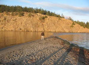
5.01.75 mi / 60 ft gainIt's just a short walk to the beach on this protruding point in Lopez Sound, and all downhill. Immediately upon leaving the trailhead, you come to a junction. Turn right and make a beeline straight for the picnic area at the base of the Spit.Time to explore the Spit. If the tide is high, stick to...Read more -
Renton, Washington
Far County Falls via Licorice Fern Trail
4.24.25 mi / 801 ft gainFrom Seattle, take the I-90 E to exit 15. Make a right on 17th Ave. This street will later become Renton/Issaquah Rd. Drive about four miles then turn right on to May Valley Rd. Make a sharp right onto SE 112th St. This street will soon turn into 169th Ave SE as it turns left. The trailhead is ri...Read more

