Ferndale, Washington
Looking for the best hiking in Ferndale? We've got you covered with the top trails, trips, hiking, backpacking, camping and more around Ferndale. The detailed guides, photos, and reviews are all submitted by the Outbound community.
Top Hiking Spots in and near Ferndale
-
Maple Ridge, British Columbia
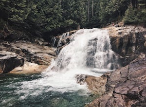
Hike to Lower Falls in Golden Ears Provincial Park
5.03.5 miLower Falls is found within Golden Ears Provincial Park in British Columbia. Easily accessible from the Gold Creek Parking lot, it is a relatively flat trail snaking along Gold Creek itself. It can be done as an out & back trail, or you can make it a loop by using the connector trail located ...Read more -
Pitt Meadows, British Columbia
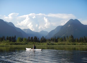
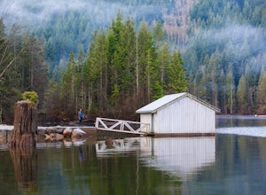
Paddle Pitt Lake to Widgeon Falls
5.03.7 miThe 12km (7.5 mi) drive on Neaves Road to Pitt Lake from Pitt Meadows is one of BC's most scenic routes. As soon as you start this section of the drive you already feel miles from the city, but this route is only 30-45 minutes from Vancouver, depending on city traffic.Once you reach the parking l...Read more -
Belcarra, British Columbia
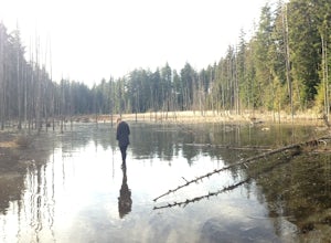
Hike the Springboard Trail and Explore Woodhaven Swamp
5.9 mi / 1312.3 ft gainFrom the parking lot at Woodhaven Swamp, head down the wooden steps to the lower path and then follow the path clockwise, passing over a small boardwalk bridge at the east end of the wetland. At the west side of the swamp, look out for a smaller trail that veers off on the left and follow that as...Read more -
Belcarra, British Columbia
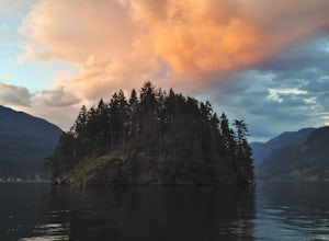
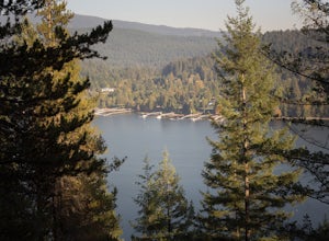
Hike the Jug Island Trail
4.7From the parking lot at Belcarra Regional Park, follow the Jug Island Trail. It is well marked and well walked so it's near impossible to wander off in the wrong direction! The beach near Jug Island is at the very tip of the peninsula and offers beautiful views of the Indian Arm and surrounding m...Read more -
Belcarra, British Columbia
Hike to Jug Island
3.4 mi / 328 ft gainPark your car at the Belcarra Regional Parking Lot and head into the forest. There will be a trail marker beside the playground. Walk about 5 mins along this trail and cross the road. There will be two trails - take the one on the left and follow this trail uphill. The trail is very well marked a...Read more -
Anmore, British Columbia
Backpack the Dilly Dally Loop
15.5 mi / 3800 ft gainThis hike begins near the parking lot of Buntzen Lake. The trailhead will read "Halvor Lunden Trail,” named after the man who made it. This part of the trail is well marked, however as you continue along the loop it gets less and less worn, making things more difficult, but also more natural.The ...Read more -
Anmore, British Columbia
Hike Lake Buntzen
4.5Buntzen Lake is located in a beautiful recreation area just north of Port Moody. Although the lake is man-made and maintained by BC Hydro, the surrounding area is full of forests, nice beach areas, and many trails for hiking including the Buntzen Lake Trail, which loops around the lake.Beginning ...Read more -
Concrete, Washington
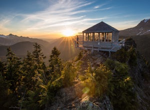
Park Butte Lookout
4.57.64 mi / 2100 ft gainThis place is really the stuff of fairy tales. Where else can you find a tiny cabin with 360-degree views of stunning mountain scenery? To the west, you can see all the way to Bellingham and the Puget Sound. To the south and east lie the jagged North Cascades. And the entire northern horizon is ...Read more -
Concrete, Washington
Backpack the Easton Glacier Railroad Grade
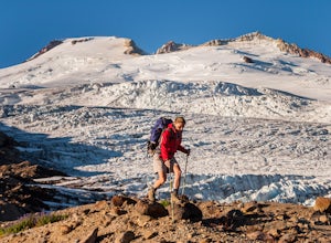
10 mi / 3000 ft gainBegin at the Park Butte trailhead, trail 603. Hike past the first Scott Paul trail sign a few hundred feet from the trailhead. Continue on and cross appropriately name Rocky Creek heading up on the Park Butte Trail. Continue up the Park Butte trail passing the Scott Paul trail again at about 4,50...Read more -
Concrete, Washington
Climb Mt. Baker via the Easton Glacier Route
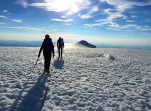
16 mi / 7600 ft gainThe Easton Glacier route is one of the mountain’s most popular and likewise, most crowded. Check out Mt. Baker’s Squak Glacier route or Coleman Deming Glacier route for an alternative climb with similar difficulty.You’ll start out at Schreibers Meadow Trailhead (3,200 ft.). To get there, exit off...Read more -
Concrete, Washington
Climb Mt. Baker via Squak Glacier
10 mi / 7500 ft gainNOTE: THIS ROUTE REQUIRES GLACIER TRAVEL SKILLSMt Baker, or Kulshan, is a remarkable mountain in northwest Washington. Whether you're in Anacortes, Bellingham, Vancouver or on the San Juan Islands you can see Mt Baker standing as a citadel over the Northwest. Unlike the more popular routes like t...Read more -
Deming, Washington
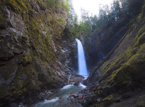
Hike to Sholes Creek Falls
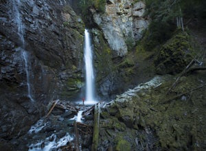
5.0Sholes Creek Falls is not easy to reach, but it is entirely worth the journey. The creek plunges over a two-tiered drop in stages of 62 and 103 feet into a massive amphitheater, which flows into Bar Creek. The waterfall is framed by massive columns of volcanic rock that dwarf the falls, in compar...Read more -
North Vancouver, British Columbia
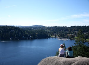
Hike Quarry Rock
3.82.4 mi / 328.1 ft gainDeep Cove is a cozy little town located at the base of Mt. Seymour, lying on the shores of the Indian Arm which is a branch of the Burrard Inlet in North Vancouver. In autumn, the tree-lined streets glow orange in the sunlight and the sailboats, kayakers and paddleboarders fill the harbour with ...Read more -
Deming, Washington
Bike to Wells Creek Falls
Wells Creek Falls is an incredible waterfall nestled in a tight canyon below Mt. Baker. The falls plunges 93-ft. over a volcanic cliff face and envelops the small amphitheater below in a cloud of mist. From there, Wells Creeks snakes through the canyon and enters Bar Creek on the opposite side of...Read more -
North Vancouver, British Columbia
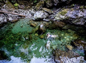
Swim at the Lynn Canyon Swimming Hole
4.50.6 mi / 50 ft gainFrom the last field at inter city park, continue walking down the road to the Lynn Canyon trail. Follow the trail up the wooden boardwalks and to the first open area on the trail. When you can see the creek to your left, head down to the creek. To get to this particular swimming hole, you will ha...Read more -
Salt Spring Island, British Columbia
Hike Up Reginald Hill
1.2 mi / 771 ft gainFrom the Fulford ferry terminal, turn left onto Morningside Drive and follow the road to the end, where you’ll find a small area to park your car. From here, head up towards the subdivision and keep an eye out for the trail marker on your left, located 100m past the gate into Reginald Hills Estat...Read more

