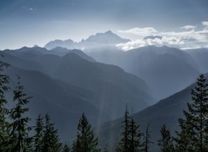
Fall City, Washington
Looking for the best hiking in Fall City? We've got you covered with the top trails, trips, hiking, backpacking, camping and more around Fall City. The detailed guides, photos, and reviews are all submitted by the Outbound community.
Top Hiking Spots in and near Fall City
-
Leavenworth, Washington
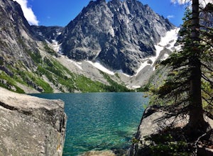
Colchuck Lake via Stuart Lake Trail
4.48.13 mi / 2156 ft gainTo reach the trailhead, turn onto Icicle Creek Road from US2. Drive 8.4 miles and turn left onto Forest Service Road 7601. Follow the potholed dirt road 3.7 miles to the Stuart Lake trailhead. Parking for about 20-30 cars and a toilet are available in the lot. Northwest Forest Pass required. The...Read more -
Leavenworth, Washington
Aasgard Pass via Stuart Lake Trail
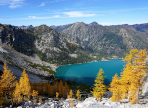
3.511.15 mi / 4560 ft gain“These fleetingly rare sights offer a recipe for what I call ‘the Quest.’ The Quest is the force that motivates us to travel. It’s putting oneself in the perfect place at the perfect time. It’s the insatiable urge to find that quintessential moment.” - Washington AAA Journal The arrival of “gold...Read more -
Leavenworth, Washington
Climb to the Summit of Colchuck Peak
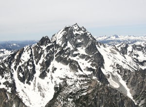
12.5 mi / 5300 ft gainGetting There: From US2 in Leavenworth, Washington, turn onto Icicle Creek Rd. Drive 8.2 miles and turn left on Forest Service Road 7601—you might be able to spot it more easily as the turnoff for the Bridge Creek Campground. In 3.7 miles, you'll arrive at the Stuart Lake Trailhead parking lot; w...Read more -
Leavenworth, Washington
Snowshoe to Colchuck Lake
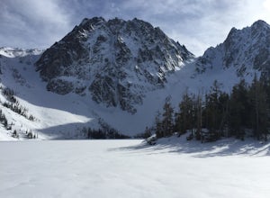
3.316 mi / 3000 ft gainFrom Leavenworth, head south on Icicle Creek rd for 8.2 miles until you reach USFS rd 7601. This road isn't plowed and is blocked by a locked gate about one quarter mile from where it intersects with Icicle Creek Road (usually from November to May), so parking at the intersection is probably your...Read more -
Brinnon, Washington
Hike to Mt. Walker North & South Viewpoints
3.04 mi / 2000 ft gainDirections: From the Quilcene Ranger Station drive 4.6 miles south on US 101. Watch for the signs for Mount Walker View Point. Turn left onto Mount Walker Road. The trail head is about a quarter mile up the road with pull over parking on the left side of the road. In the winter and early spring, ...Read more

